Good Evening, folks. As our busy shopping day rolls on, we are focused on a system rolling in for Sunday that’s set to bring chilly showers and a few snowflakes to our region. That kicks off a cold setup into the closing days of November with more action moving in for the first weekend of December.
A weak cold front is straddling the state right now with much colder air in the north compared to the south. This boundary has a bit of wind with it and that creates overnight wind chills that can dip into the upper teens for some areas, especially north.
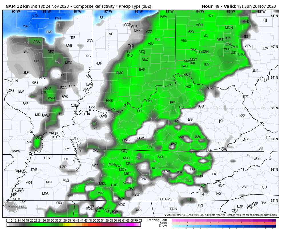
Saturday looks good with clouds rolling in late in the day. Those clouds are ahead of our storm system moving into the Ohio Valley Sunday into Sunday night. This brings chilly showers from west to east across the state. Once the front moves through, northwest winds give us the chance for some festive flakes to blow into central and eastern Kentucky.
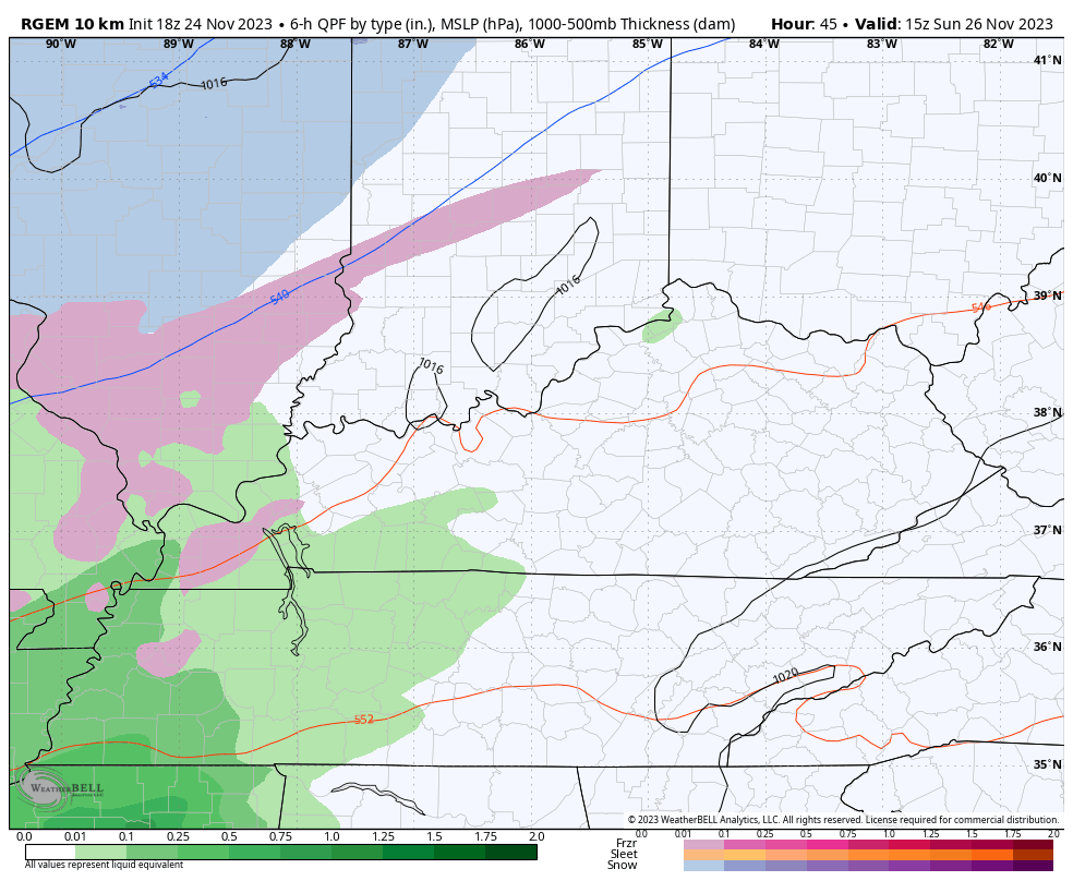
The best chance of those flakes will be Sunday night and Monday morning across central and eastern Kentucky. That shows up on the future radar from the NAM…
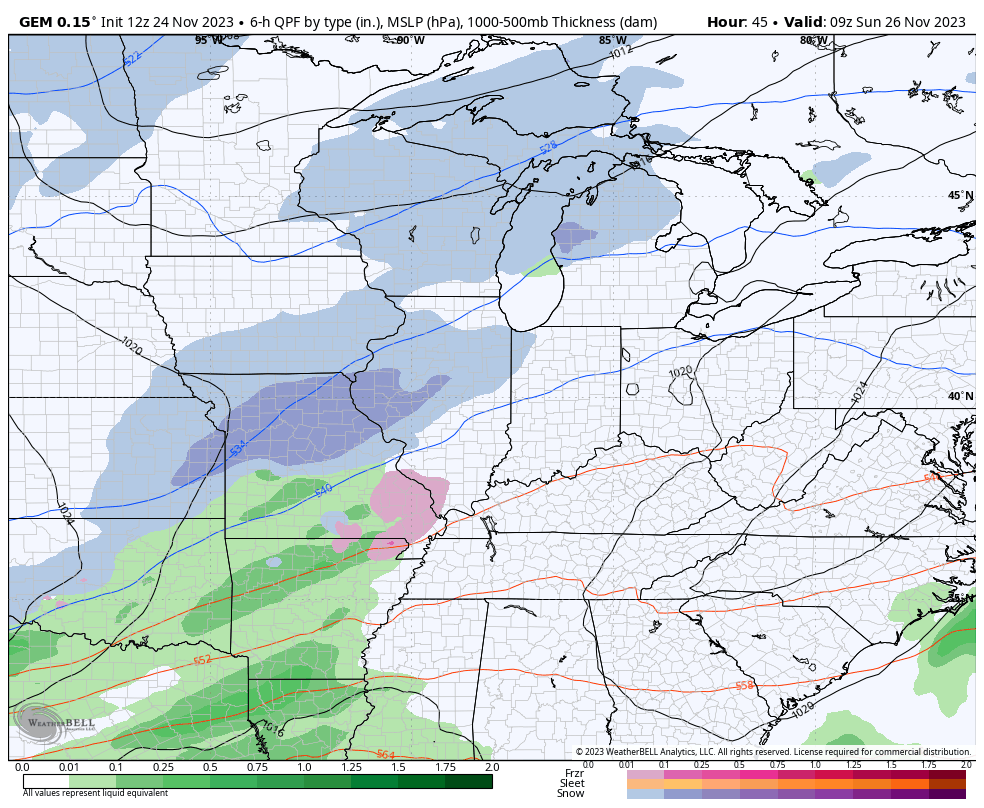
The short range Canadian has a few more flakes showing up later Sunday night and Monday…
The Canadian Model continues to have the best coverage of the festive flakes on Monday and is also more emphatic with some flakes diving in from the northwest on Tuesday…
Temps behind this are really cold with readings in the 30s for highs Monday through Wednesday. Winds will be very gust, so wind chills are a big player. The wind chills by Tuesday morning may flirt with 10 degrees in some areas.
Temps come up some by Thursday and Friday as a rainmaker rolls in here to start the upcoming weekend. That system blows through by early Saturday with a second system bringing rain later Sunday and Monday with colder air coming in behind that…
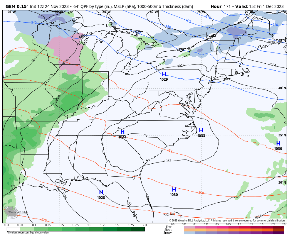
That’s likely another significant rain event for our region!
The pattern after this goes right back toward a deepening trough in the eastern half of the country, setting the stage for more cold and winter weather potential. The longer range look at that comes your way later tonight.
Have a great rest of the day and take care.
