Good Wednesday to one and all. Our day is starting out on a frigid note before the cold starts to ease a bit. As the temps climb, we roll into a much more active pattern for the next week or so before things turn cold again.
Temps out there this morning range from the middle teens to middle 20s depending on where you are. Wind chills are generally in the 10-15 degree range for many. Winds do flip around this afternoon with 40s for highs central and eastern Kentucky with 50s in the west.
Clouds thicken on Thursday as our next system rolls in. Showers develop in the west Thursday evening and roll across the state Thursday night and Friday morning. Locally heavy downpours will be noted before the action becomes much more scattered during the afternoon and evening.
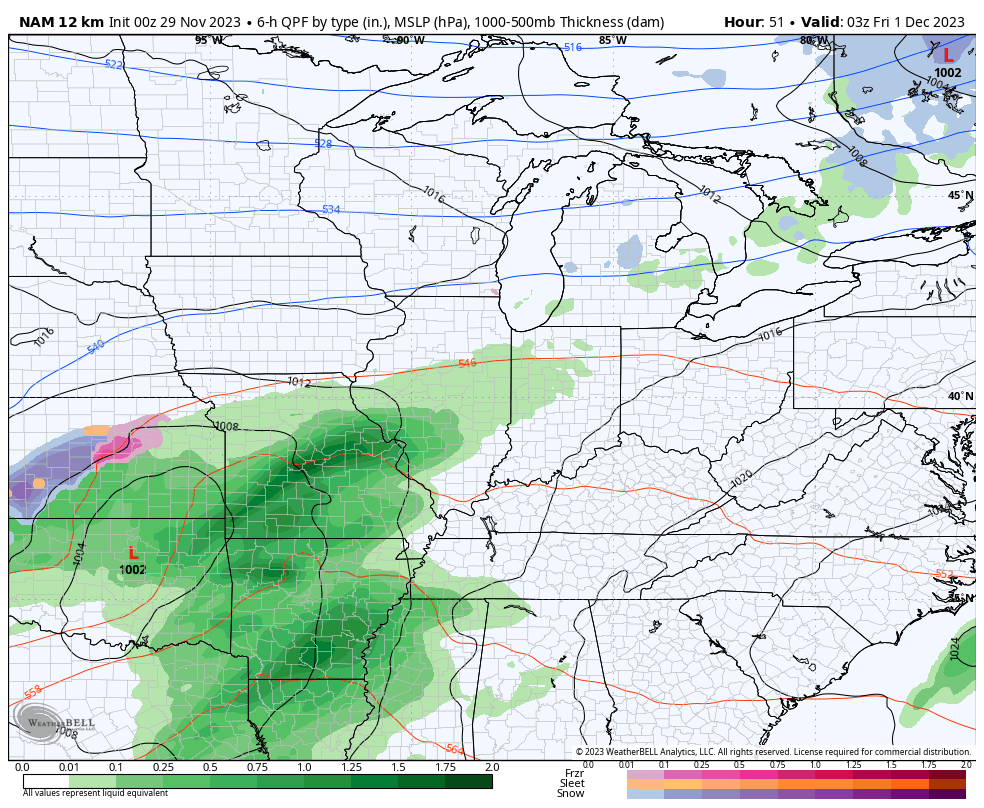
Here’s the NAM showing this system…
A few lingering showers will be possible on Saturday, but this isn’t all day stuff by any means. It also appears the weaker solution is the winner of the weather war for Sunday with just a shower or two possible with lots of dry times taking over.
This will be followed up by a few systems dropping in from the northwest Monday through Wednesday of next week. These will bring colder temps in here along with the threat for a touch of winter weather.
We now have pretty good agreement on all this from the models through Sunday, but they differ on exactly when the colder air and winter potential gets in next week…
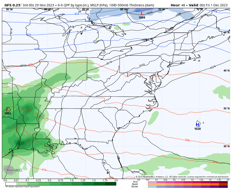
GFS
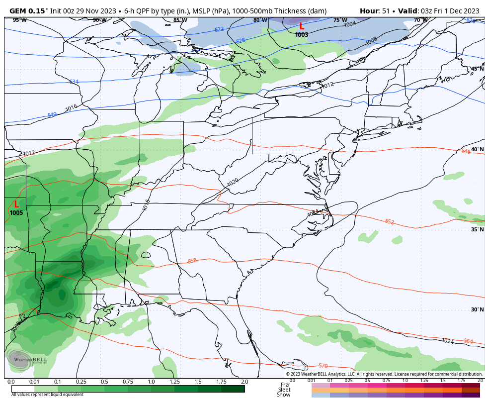
CANADIAN
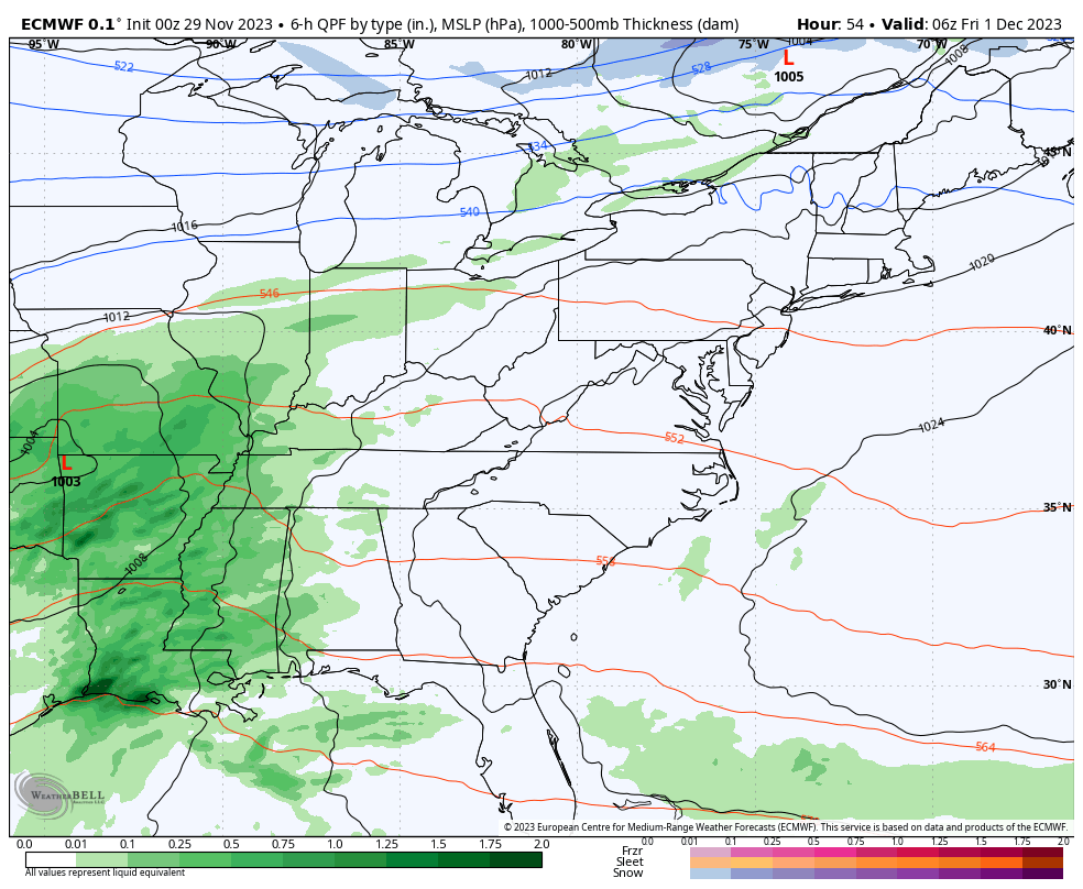
EURO
As I mentioned yesterday, the models are settling into a pattern that features a lot of back and forth over the next few weeks. Watch how the ensembles take us through the ridge/trough/ridge/trough setup…
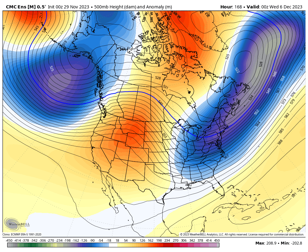
This is more of what I envisioned with my winter forecast that had December averaging above normal around here. That’s all because of this tug of war, back and forth. Never fear, we make up for it starting later in December through February.
I will have another update later today. Have a good one and take care.

I see some cold rain showers coming at us next week.
I noticed the old KLEX official temp was 3 to 4 degrees difference than the mesonets yesterday at certain times… I think it’s more of an issue when there’s sun than if it’s overcast or dark out…Like right now at 5 am, I’m only seeing 1 degree difference. One thing that’s almost always the case is the KLEX is the warmer one of all 3 of them.
Yesterday I couldn’t log into this site to comment. Upon login, it said additional verification was required and that it sent me an email to verify …. only, that email never came.
the last couple of days have felt like January
Mark, right now the Mesonet is recording a temperature of 19 degrees here in Taylor county. On my thermometer I have a reading 21 degrees. I think it’s a calibration problem. Don’t know.
Mark, right now the Mesonet is recording a temperature of 19 degrees here in Taylor county. On my thermometer I have a reading 21 degrees. I think it’s a calibration problem. Don’t know.
Thanks Chris. It just seems we can’t break this ‘ split flow ‘ pattern across the country. I’m now hoping for some Rain / showers in the next few days along with milder temperatures. The frigid temperature followed by normal or above normal temperatures with hardly any chances of Snow or Rain is really depressing. We had this exact weather pattern back in the year 1987. I remember this as I had a difficult time keeping my plant nursery well hydrated and protected from the up and down temperatures. A real drag. The Spring and Summer 1988 featured a continuing drought with above normal temperatures. Hard times for the nursery business.
Hoping all this will change and we have our Winter like you are predicting with above normal Snowfall at least in the Eastern part of the State. I would be satisfied with several rain events with mild temperatures through the Winter. That’s what we really need.
Sorry for the duplicut post. It’s on my end.
Correction in my horrible spelling ( duplicate not duplicut. )