Good evening, folks. It’s a much milder setup on the way for the next several days, but that milder air is going to bring gusty winds and rain into the Commonwealth. The setup does change early next week as colder air pushes back in.
Before we look ahead, let’s give it up to an impressive cold morning out there today…
It was absolutely frigid this morning across Kentucky with temps 10-15 degrees in many areas. Lewis County had the coldest temp in the state at 10 degrees!! #kywx pic.twitter.com/rCaZpO203r
— Chris Bailey❄️🥶 (@Kentuckyweather) November 29, 2023
10 to 15 degrees for lows with a bare ground in November is impressive!
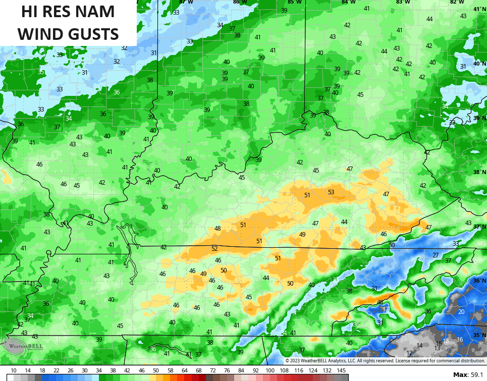
Milder winds continue to boost temps into Thursday and those winds are really going to crank ahead of low pressure rolling into the Ohio Valley on Friday. Gusts of 40mph will be possible during this time. The Hi Res NAM shows even higher gusts…
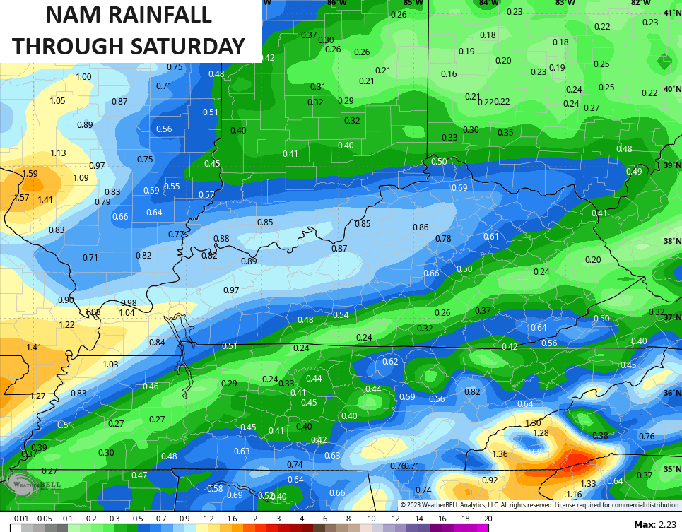
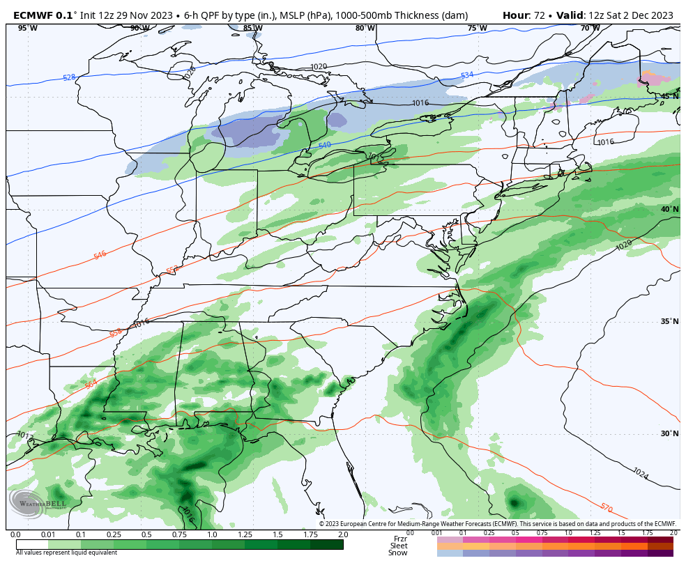
The models are still disagreeing a bit on the Friday rains as the NAM is the most aggressive…
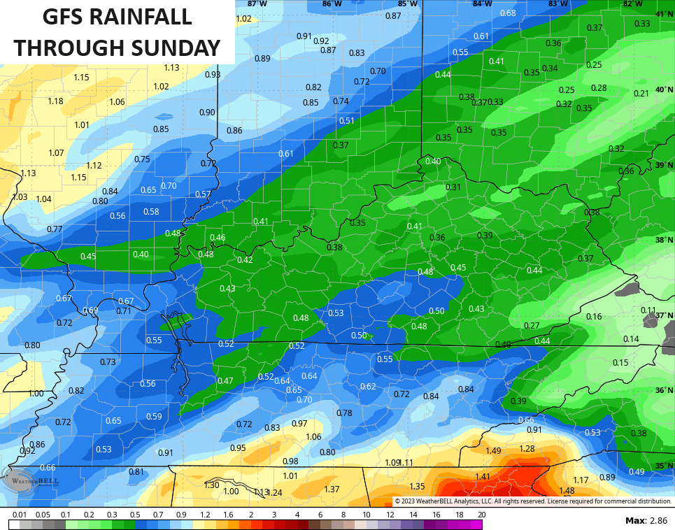
The GFS has the heavier swath to our northwest…
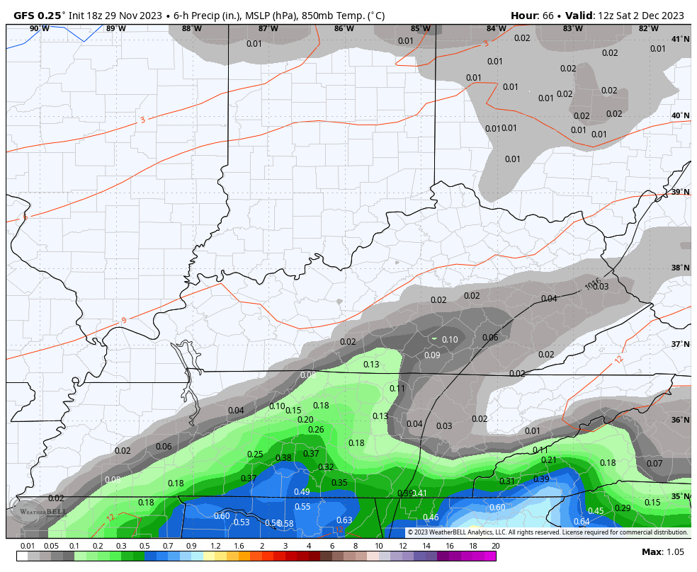
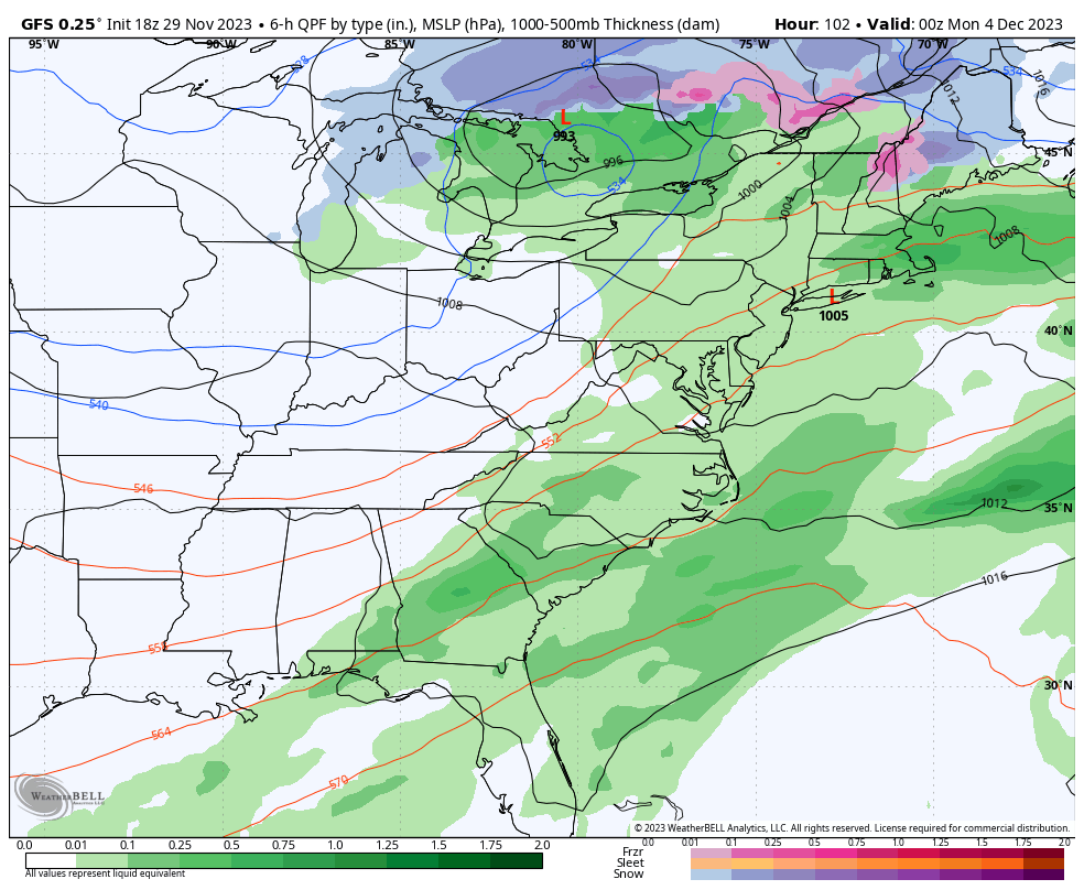
Subtle differences are showing up in the models with how to handle some additional rain Saturday into Sunday. The latest GFS is farther north and west with a slug of rain during this time…
That would have a much greater impact on outdoor activities, especially Saturday.
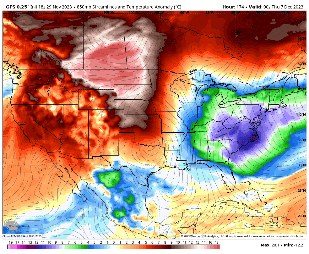
Colder air filters in early next week with a clipper system diving in Tuesday and Wednesday. Once again, the models differ on how to handle this…
GFS
The EURO actually has two systems…
Looking beyond this system. the back and forth pattern is very evident on the ensembles and the operational models. Watch the colder than normal and warmer than normal temp swings late next week into the following week…
Enjoy the evening and take care.
