Good evening, everyone. Our storm system is rolling toward Kentucky bringing rain and gusty winds overnight into Friday. Once into the weekend, the second system for Sunday is trending back to where we started with it several days ago.
Rain will be locally heavy overnight into the start of Friday, but this action becomes much more scattered during the afternoon and evening. This shows up well on the Hi Res NAM future radar…
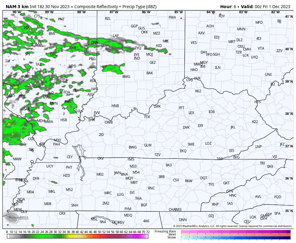
Here are your radars to follow along…

Winds will also be gusty and may spike to near 40mph at times early Friday.
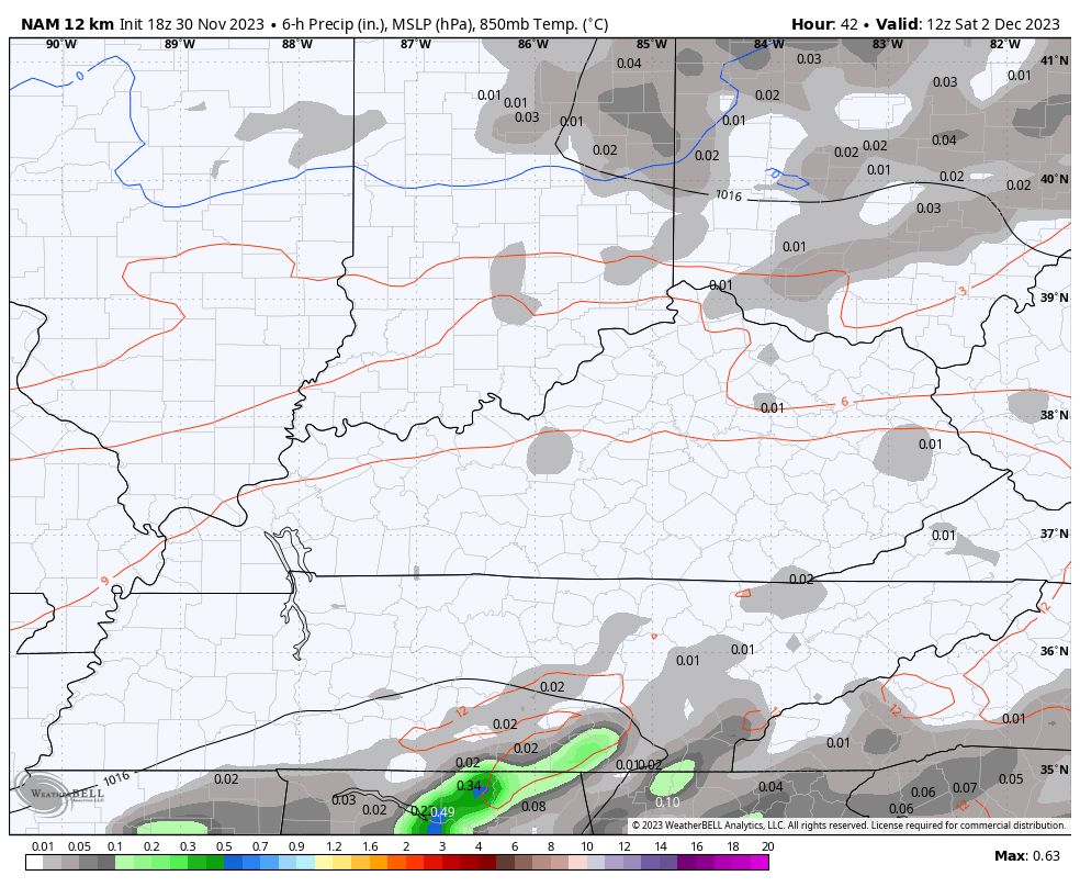
A few showers still look likely Saturday, especially across the southeast. The NAM is now on board with this and evening brings a shower or two into central Kentucky…
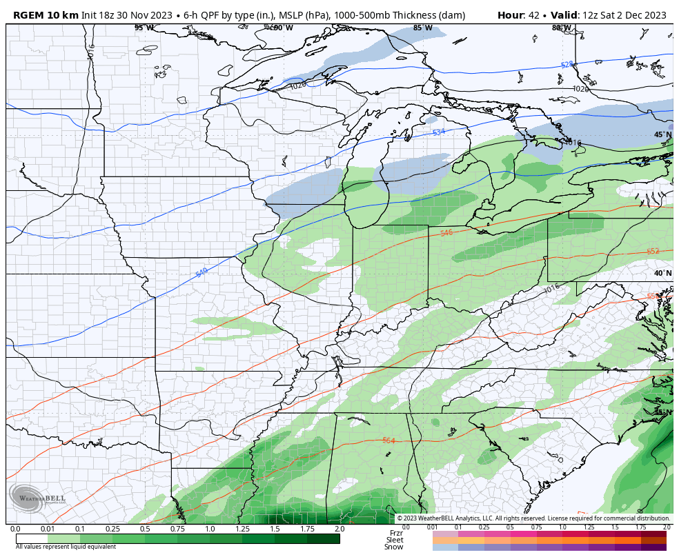
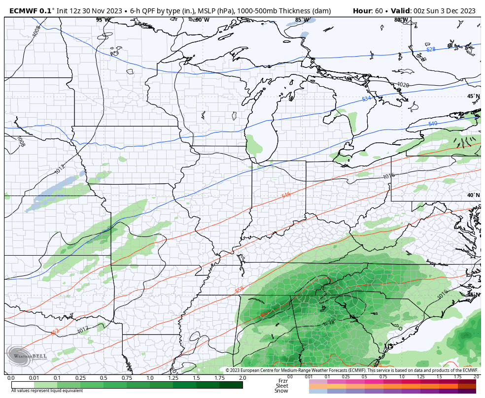
That brings us Sunday and the trend is going back toward a bigger storm system with more rain around here. The EURO started this trend back last night and now other models are jumping in. The Short Range Canadian Model is now seeing the Saturday showers and the bigger system on Sunday…
The Canadian has this Sunday storm system before turning us colder early next week with that Tuesday/Wednesday clipper looking system bringing the chance for some winter weather…
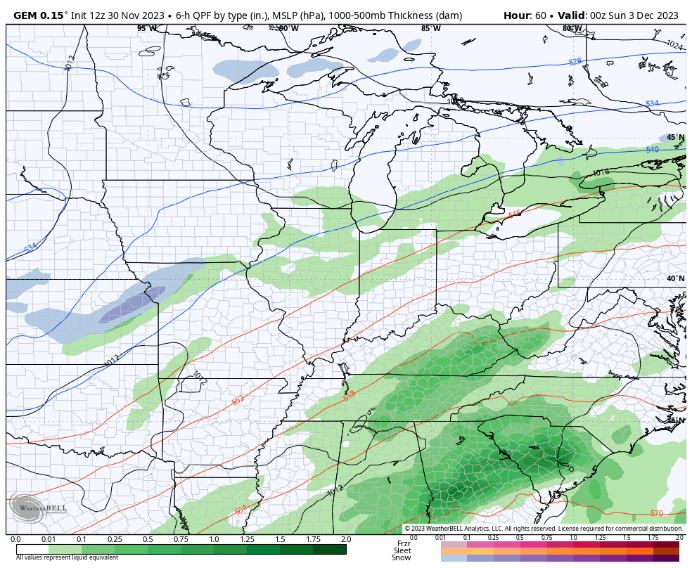
The EURO is very similar with the Sunday system and the clipper behind it…
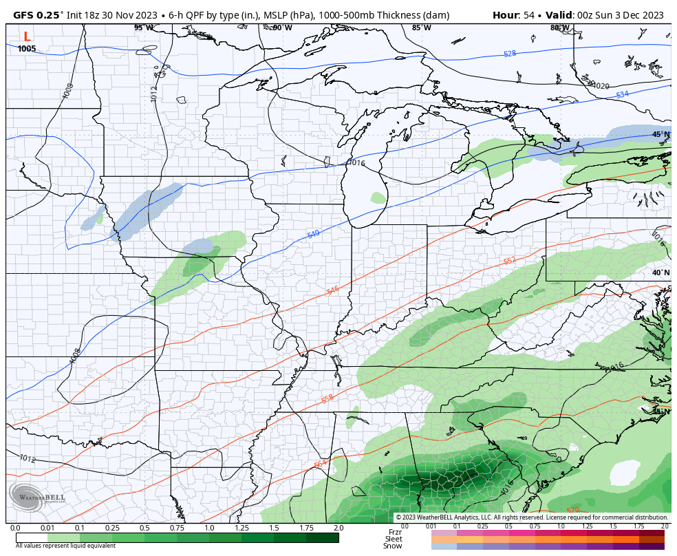
The GFS had nothing for Sunday, but is trending toward the above models and also has the clipper behind it…
The models are also trending toward a quicker switch to cold by the middle of the month.
Enjoy the evening and take care.
