Good Friday, folks. December is off and running on a wet and windy note as low pressure rolls across the region. This is the first of several systems set to impact us over the next week and change as we gradually turn things much colder.
Rain and wind are out there this morning with locally heavy downpours likely. The steady rains will scoot away fairly quickly this morning with lingering showers becoming much more scattered this afternoon and evening.
Here are your Kentucky radars to follow the wet weather…

Wind gusts are between 30mph and 40mph at times as this low wraps up to our north.
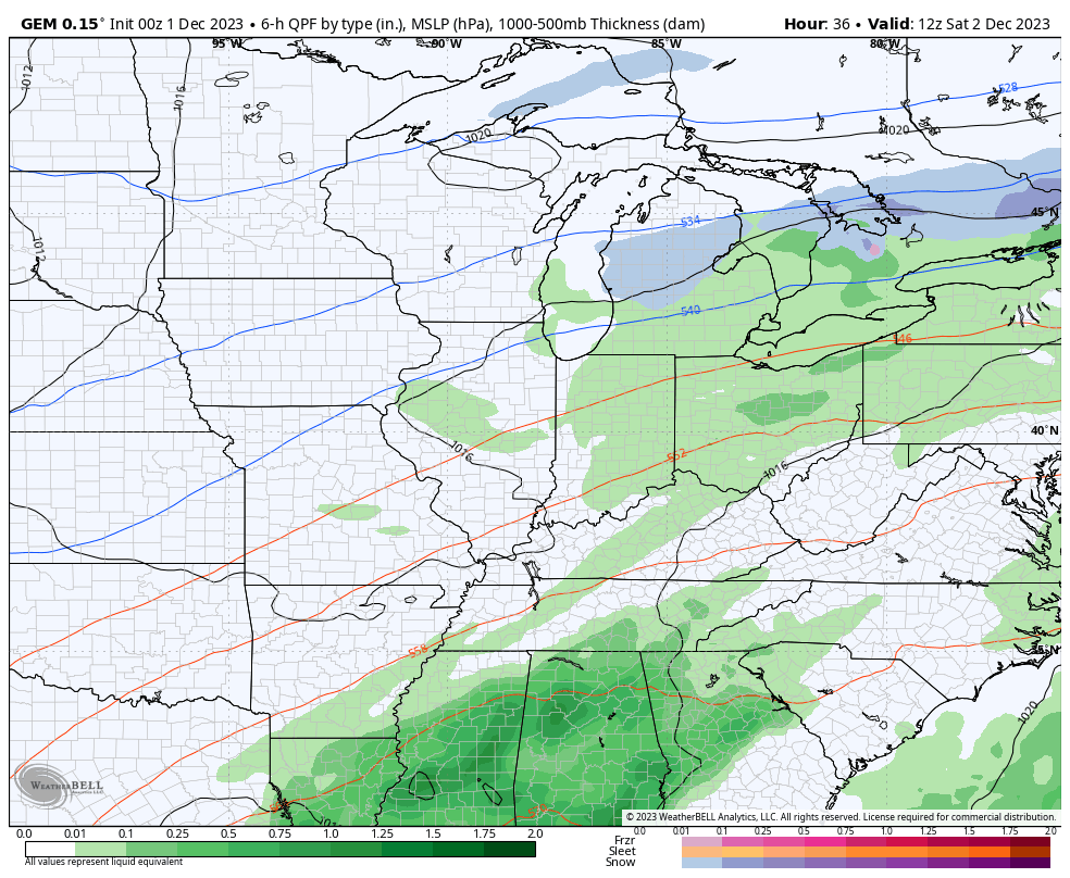
The weekend setup continues to feature the chance for some Saturday showers, especially across the southeast, but this action may increase into much of central and eastern Kentucky later in the day. This happens as low pressure strengthens across the Ohio Valley Saturday night and Sunday with a greater concentration of rain possible. The Canadian Family continues to be the strongest with this system…
Short Range Canadian…
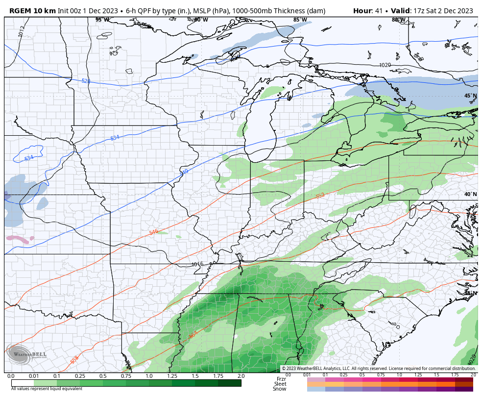
CANADIAN
You can also see a weak system with chilly showers early Monday and the clipper diving in behind that for Tuesday and Wednesday. That one has the chance to bring rain and some flake action in here.
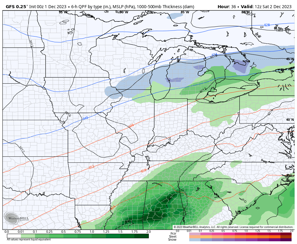
Now we find the GFS trending int this same direction with the weekend system, but is a little weaker with the follow up clipper…
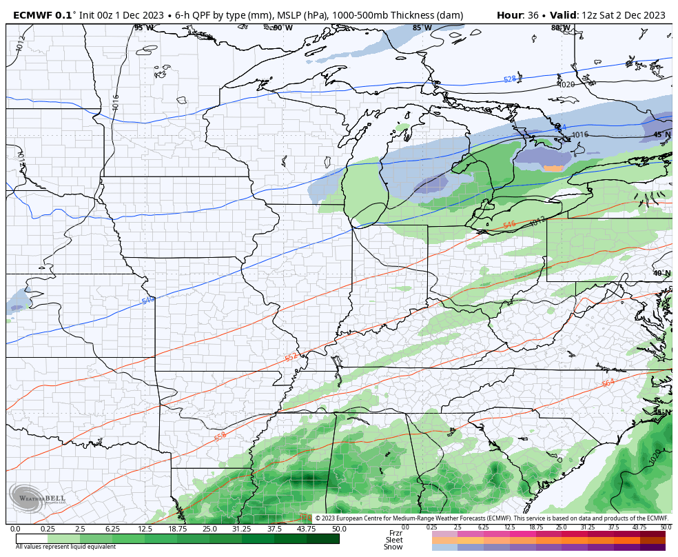
After trending toward the Sunday system, The EURO has backed off…
Moral of the weekend story: Temps are milder than normal with the chance for some showers around from time to time but it’s not a washout! Get it? Got it? Good. 😁
Temps rebound behind this by the end of next week as this “back and forth” pattern continues. Another cold shot likely rolls in later next weekend, but this isn’t a pattern ready to flip cold and stay cold. Not yet, anyway. That happens late this month into early January, and that’s why the winter forecast had a milder than normal December.
I will have updates later today. Make it a good one and take care.

Here’s my favorite winter scenarios from best to worst
1. Cold snowy Dec. Jan. Feb.
2. Cold snowy late Dec through the end of Feb
3. Warm Dec/Jan but cold/snowy Feb/March
4. Cold/snowy Dec then snowless the rest of the year
5. Last place obviously would be a snowless warm winter
My favorite Winter was 1969 – 70 when Winter weather showed up on December 21st in the way of a 4″ Snow. That following was one Snowstorm after the other through the Winter months. We had a foot of beautiful Christmas Snow that fell on Christmas Eve and another 8″ on New Years Eve. Great memories.