Good evening, folks. It’s a flat-out ugly evening across the region and this looks like it will continue into parts of the weekend. This comes from a busy pattern with, at least, three more systems are set to impact our weather through the middle of next week.
A lot of the rain out there this evening is mist and drizzle that won’t show up on your radars. Still, they’re on duty and giving it the old college try…

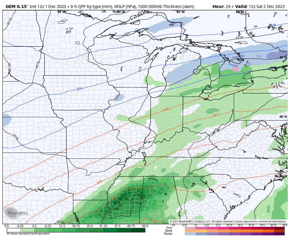
Saturday features low pressure working from the south into the southern Appalachian Mountains as another system works through the Ohio Valley. A few showers will be possible areawide, with the greatest concentration across the east and southeast. This action looks to increase during the day and will continue into early Sunday. Things appear better later on Sunday.
Colder temps move in for Monday as another system moves through with chilly showers.
A clipper moves in behind this Tuesday and Wednesday with showers and the chance for some flakes Tuesday night and Wednesday as cold air blasts in.
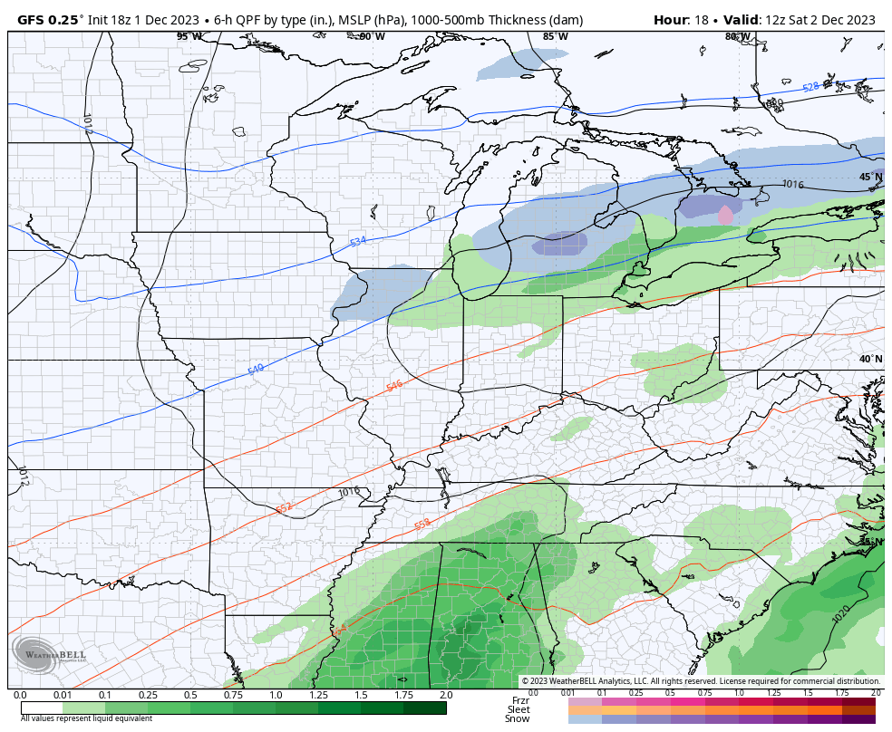
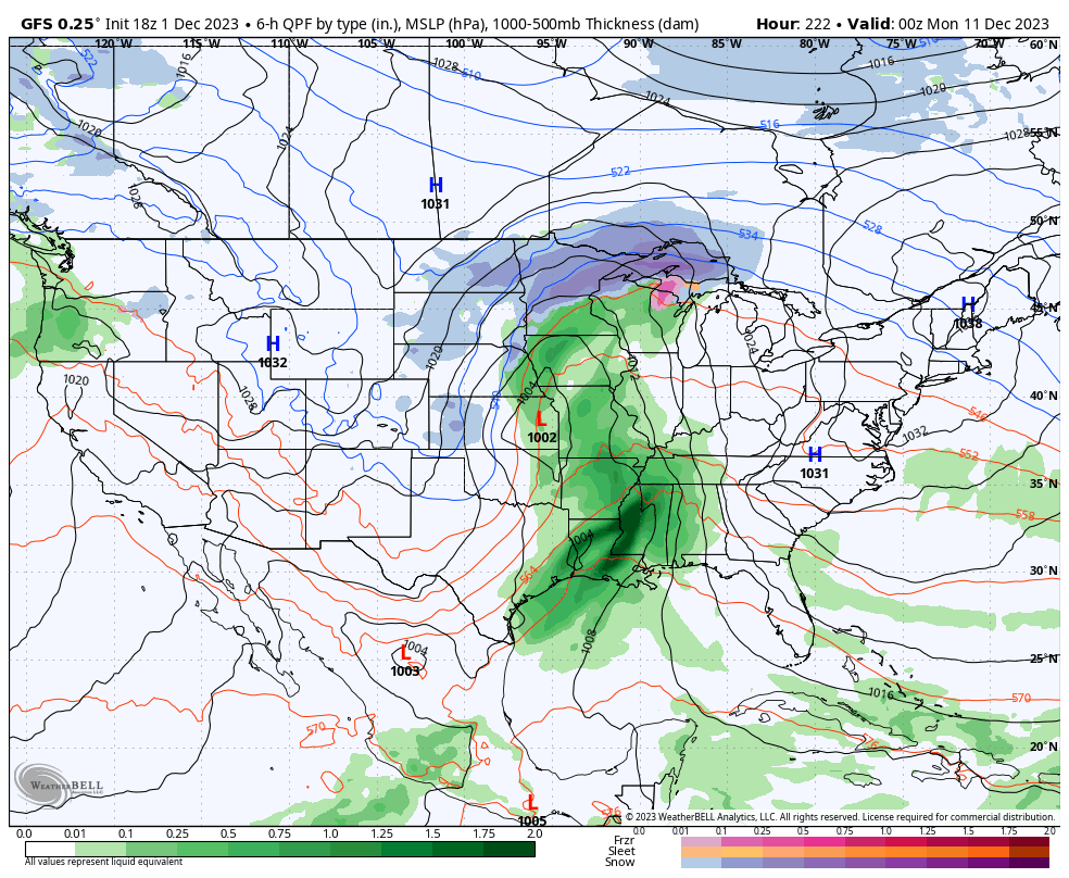
The latest run of the GFS has a good handle on all this…
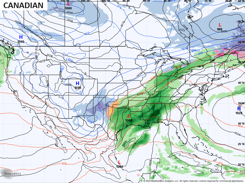
The Canadian matches that pretty well…
There’s another clipper system working into the Great Lakes Thursday and Friday, but that looks to stay too far north to impact our weather. Milder temps will surge back in during this time as we watch the setup for next weekend and early the following week.
The stage is set for a potent storm system to develop in the plains states and roll east and northeast from there. The signal is there, but the models, as expected, disagree on the details from this far out…
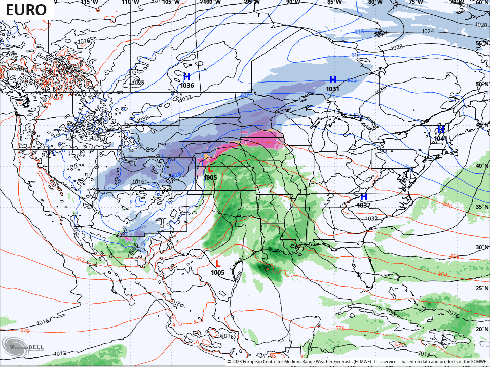
The GFS is the only operational model that goes out far enough to give us a guess of where this system goes and what comes in behind it…
Enjoy the rest of your evening and take care.
