Good, evening, weather lovers! It’s another dreary day that’s wrapping up as we get set for a little more ugly in the days to come. It’s a very active setup featuring a lot of back and forth in the temperature department for the next few weeks.
As expected, rain is prominent across the east and southeast and this trend takes us into tonight and early Sunday. A few showers will be noted across parts of central and northern Kentucky during this time as a weak boundary slides in and slows down.
Here are your radars to follow along…

A few lingering showers will be with us on Sunday, but that looks scattered by the afternoon and evening. Temps range from the upper 40s to mid 50s across the region.
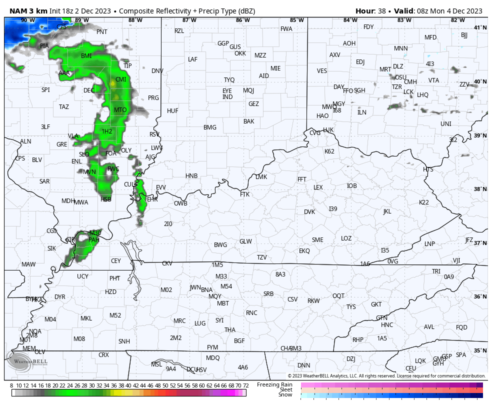
Another system zips through with chilly showers on Monday. Can someone see a wet snowflake or two with this? Maybe, especially in the high mountains of the southeast. Here’s the Hi Res NAM future radar for Monday…
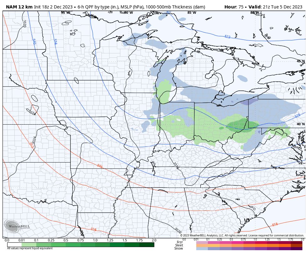
This will be followed up by a clipper digging in here late Tuesday into Wednesday. Gusty showers will be possible ahead of this and a few snowflakes will be possible behind it as colder air rushes in Tuesday night and Wednesday.
The NAM only goes through 1am Wednesday, but you can see some flakes trying to get into the game…
Temps climb by Thursday and Friday as we track what may become a potent storm system for next weekend. This may be one of those that takes us from thunderstorms to some winter weather.
The models all have this system, but continue to disagree on how it all evolves.
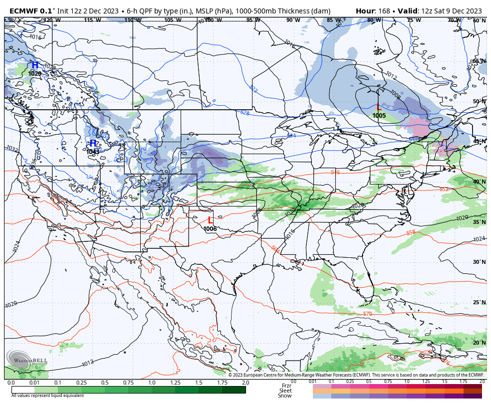
Here’s how the EURO sees it…
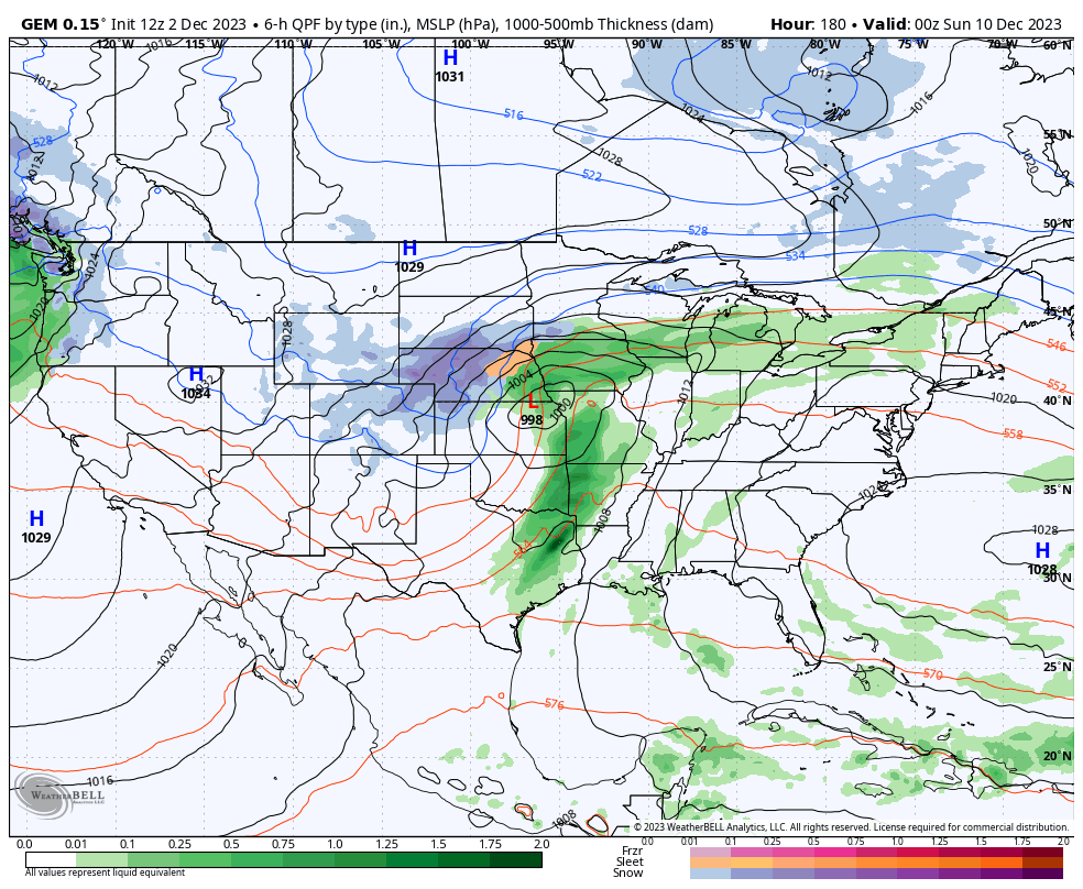
The Canadian is similar…
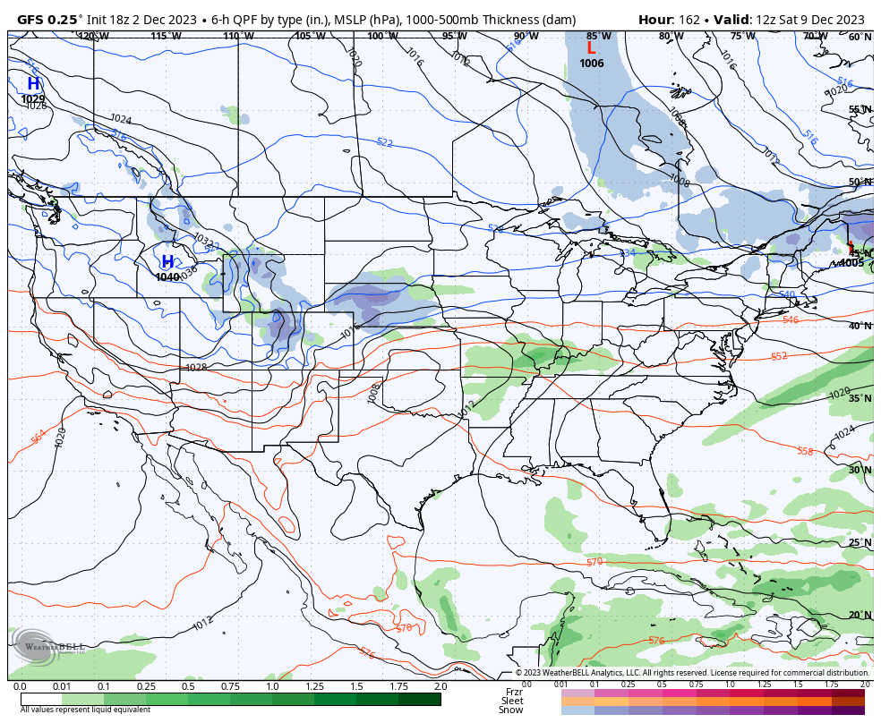
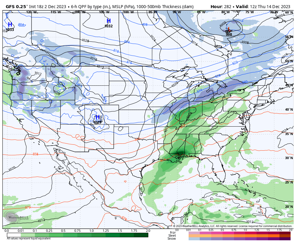
The latest GFS takes a more wrapped up and farther south track with this storm…
Again, this storm system and change to a more winter pattern looks to coincide with the MJO phase switch we’ve been talking about the past several days.
We’ve also entered the season for GFS fantasy snowstorms…
Hey, it beats the model showing a massive southeast ridge. Amirite? 😜😎
Enjoy the evening and take care.
