Good afternoon, everyone. It’s another dreary day across the region as a weak low works across the region. This is bringing a cold rain to many areas and has a clipper coming in behind it. That clipper brings a touch of winter weather behind it late Tuesday and Wednesday with a bigger system coming this weekend.
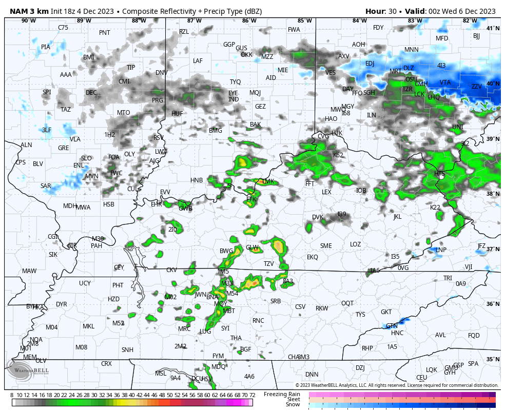
The showers out there are slowly winding down from northwest to southeast this evening. A little sleet has been reported for some areas and there’s still the outside shot of a snowflake or two in the high ground of southeastern Kentucky. Here are your radars…

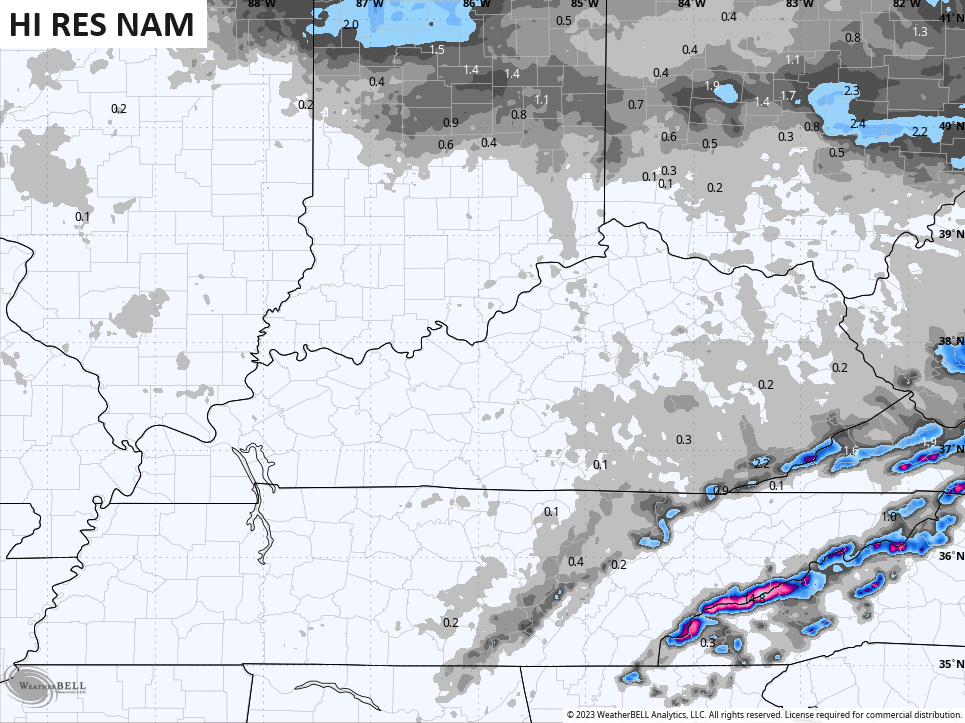
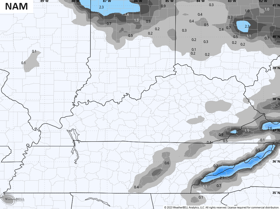
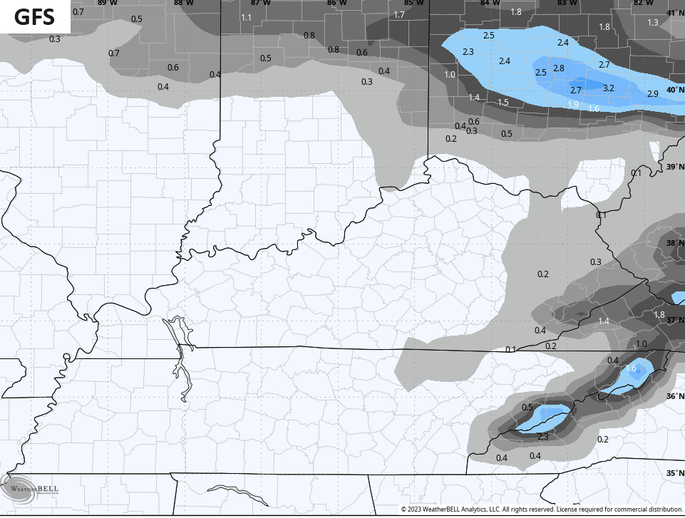
The next system coming in Tuesday and Wednesday is a clipper but doesn’t have a ton of cold air with it. This brings some showers in here on Tuesday before we get the chance for some flakes to fly as colder winds press in Tuesday night and Wednesday. The future radar from the Hi Res NAM shows the best chance across the east and southeast…
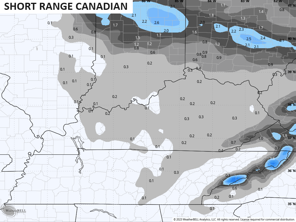
There’s the chance for the first small accumulation along the high ground of the Virginia border counties. Here’s a look at where the models are seeing flakes and even that light accumulation in the southeast…
Wednesday continues to look like a cold and blustery day with temps staying in the 30s for many.
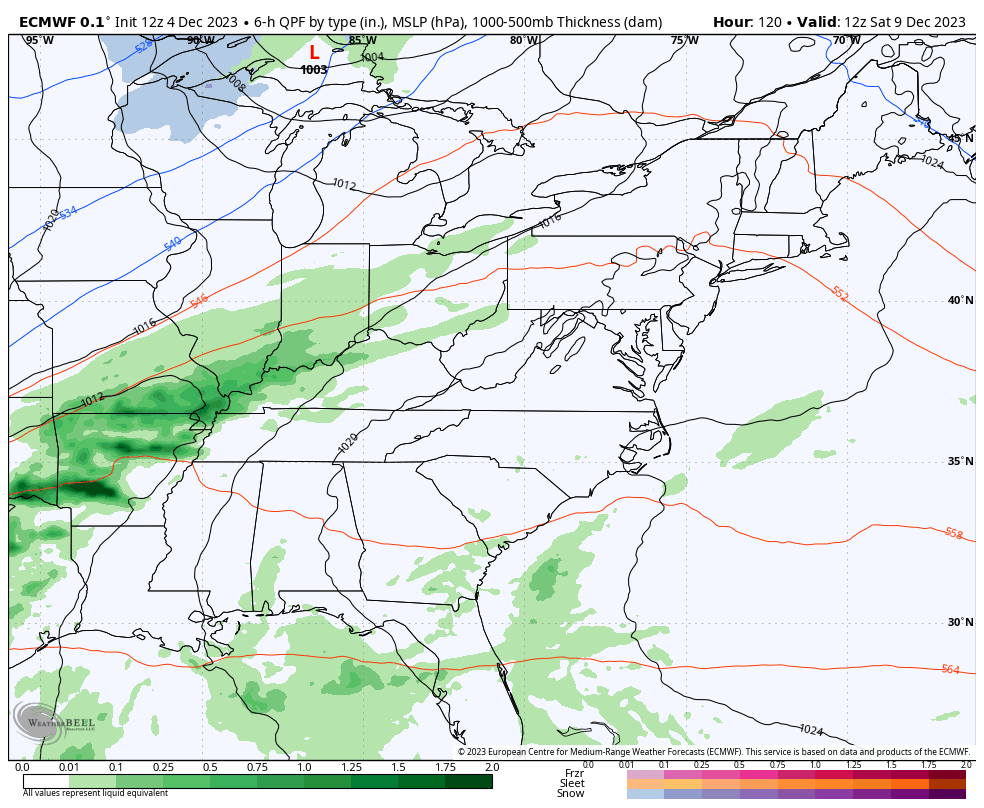
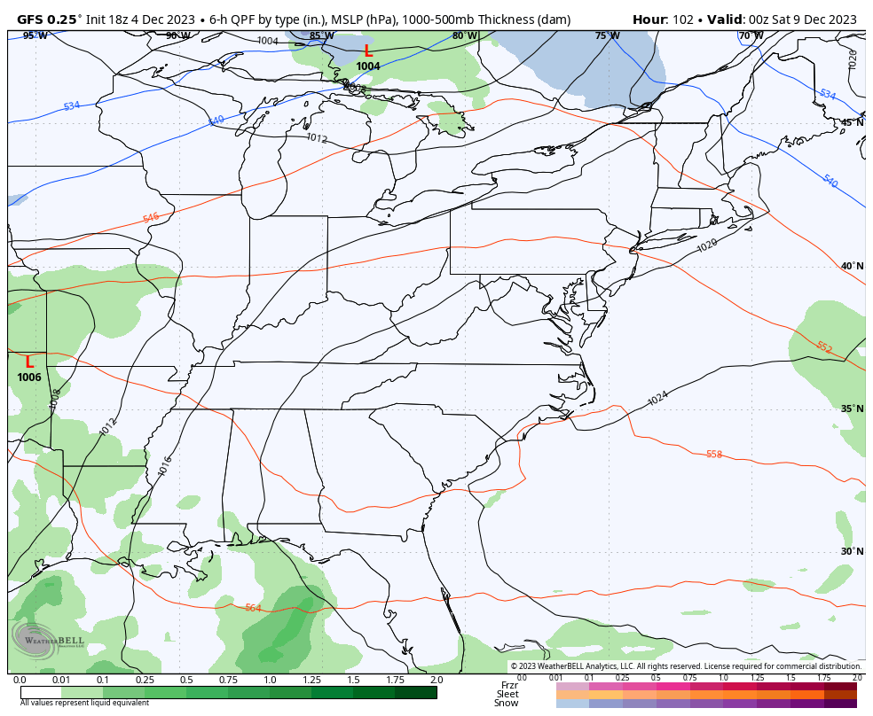
The weekend storm system continues to look potent and is likely to take a very close to us. This deepening storm may spawn strong storms and heavy rain in front of it, with cold air and some winter behind it.
Some big winds may also show up with this kind of a look…
EURO
GFS
It’s very possible to go from strong storms to snowflakes in less than 24 hours.
Enjoy the rest of the evening and take care.
