Good evening, everyone. Calm weather rolls on across the entire region for the rest of the week as we continue to focus on the weekend. That’s when a big storm system across the southeast tries to impact the weather here in Kentucky.
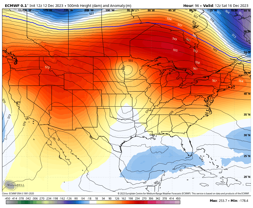
The latest model runs didn’t really clear anything up with this, but we do see the GFS having some run to run continuity. The current model run shows a big slow-moving upper level system across the southeast into the MidAtlantic states…
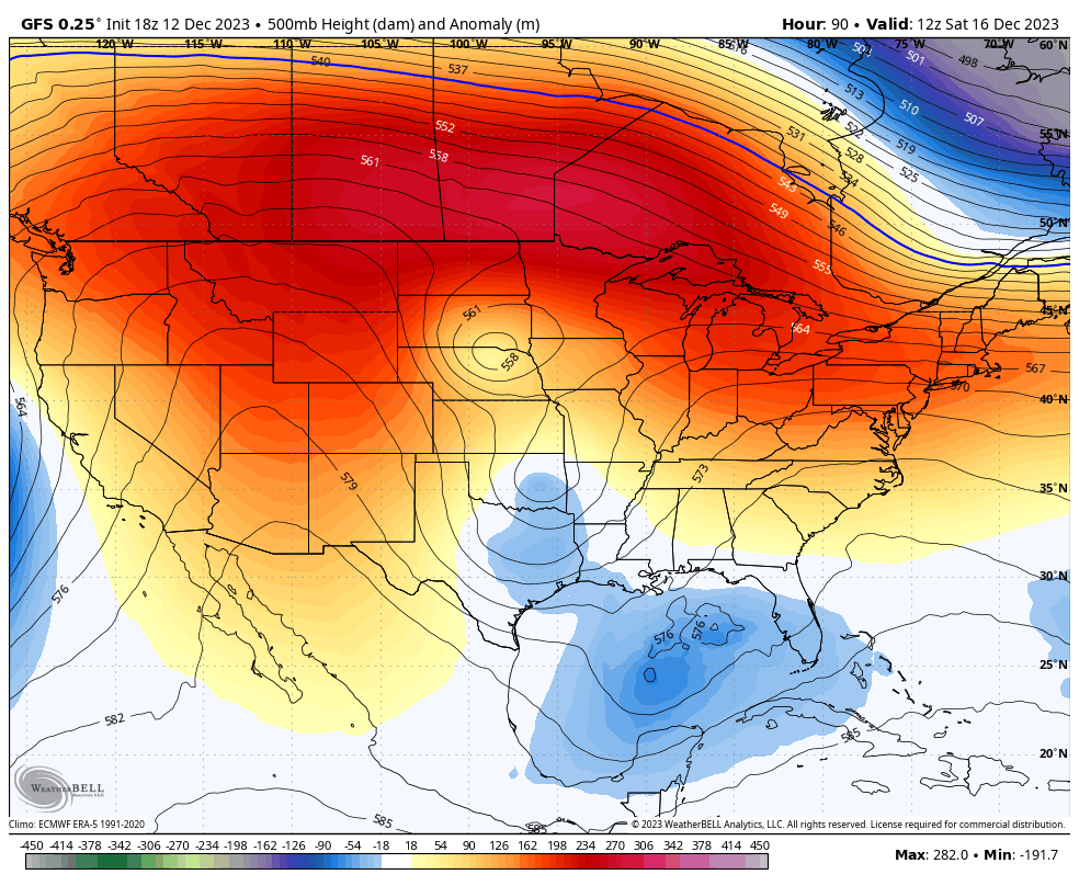
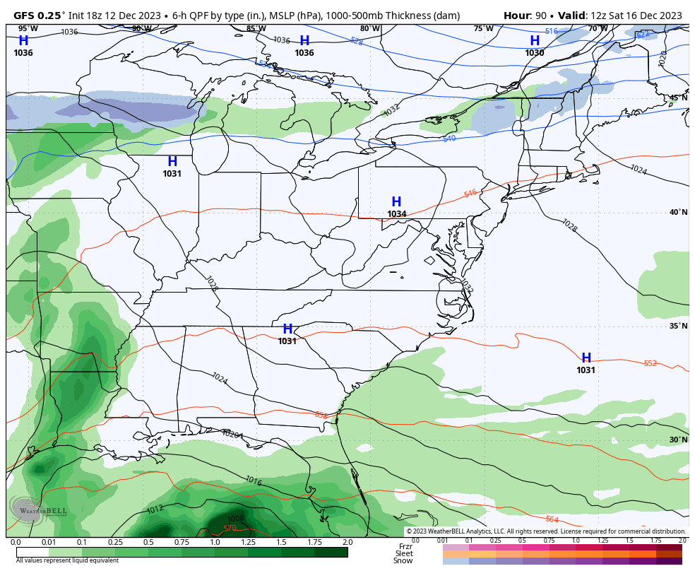
There’s no big cold high to the northwest of this system so you get a big sprawling storm system that’s almost all rain as it works from the eastern Gulf into the Midatlantic states. The GFS brings this far enough west for a lot of rain across central and eastern Kentucky…
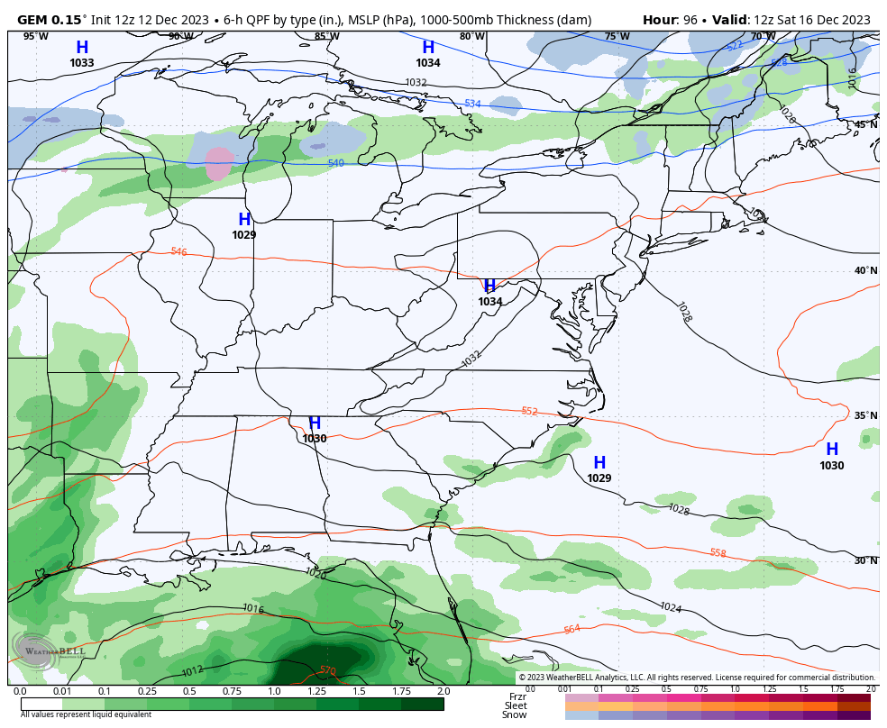
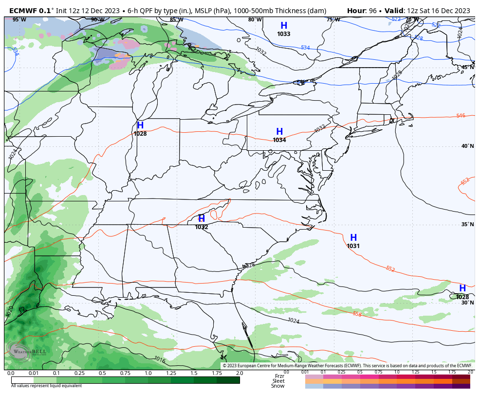
The Canadian has a similar idea with the upper levels, albeit farther southeast…
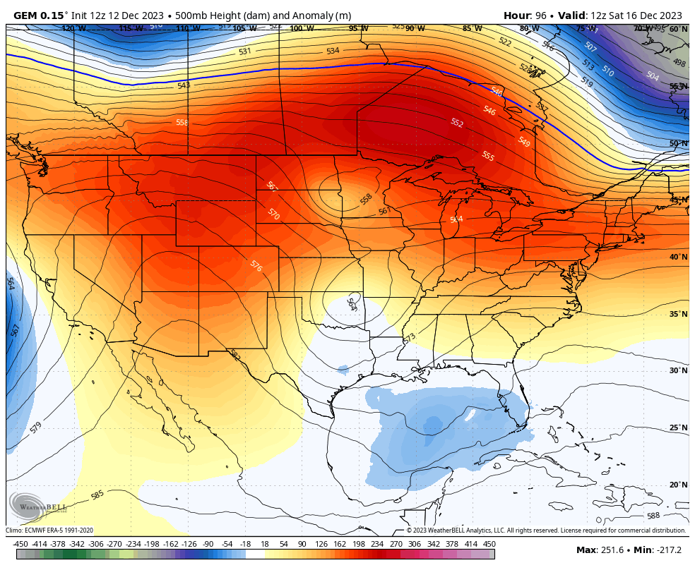
That would keep the heaviest rain to our east as the low rides the coast, but it does unlock colder air behind it with the chance for some flakes for us early next week…
The European Model has the lowest run to run continuity of any model right now. It does not phase these systems with the latest run…
The end result is for a much weaker east coast low with just a few showers in Kentucky from an upper level system on Sunday…
This setup is as clear as mud, folks! 😉
As of now, I think a cross between the GFS and Canadian will ultimately win the battle.
I’ll go more in depth on that and the forecast as we get closer to Christmas coming up later tonight. Have a good one and take care.
