Good evening, folks. We have one more really nice weather day before we roll into the weekend with a busy setup. This setup will bring rain, gusty winds, a temp drop and now the potential for some light snow, but that holds off until Monday.
The models are now coming into much better agreement with the upper levels and at the surface.
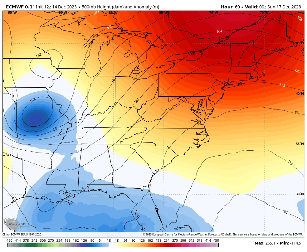
If we start with the upper levels and use the EURO, we find the big system in the Gulf being pulled northward by another system dropping through the Ohio Valley. A third upper level system then drops in from the northwest and forms a healthy upper level system on top of us Monday…
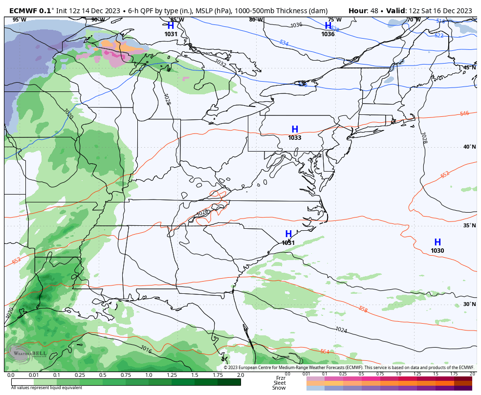
Rain moves in from west to east Saturday evening and continues into Sunday as colder air works in. From there, we see that next system dropping in Sunday night with showers that can go over to light snow under that upper low Monday and Monday night.
Here’s the EURO…
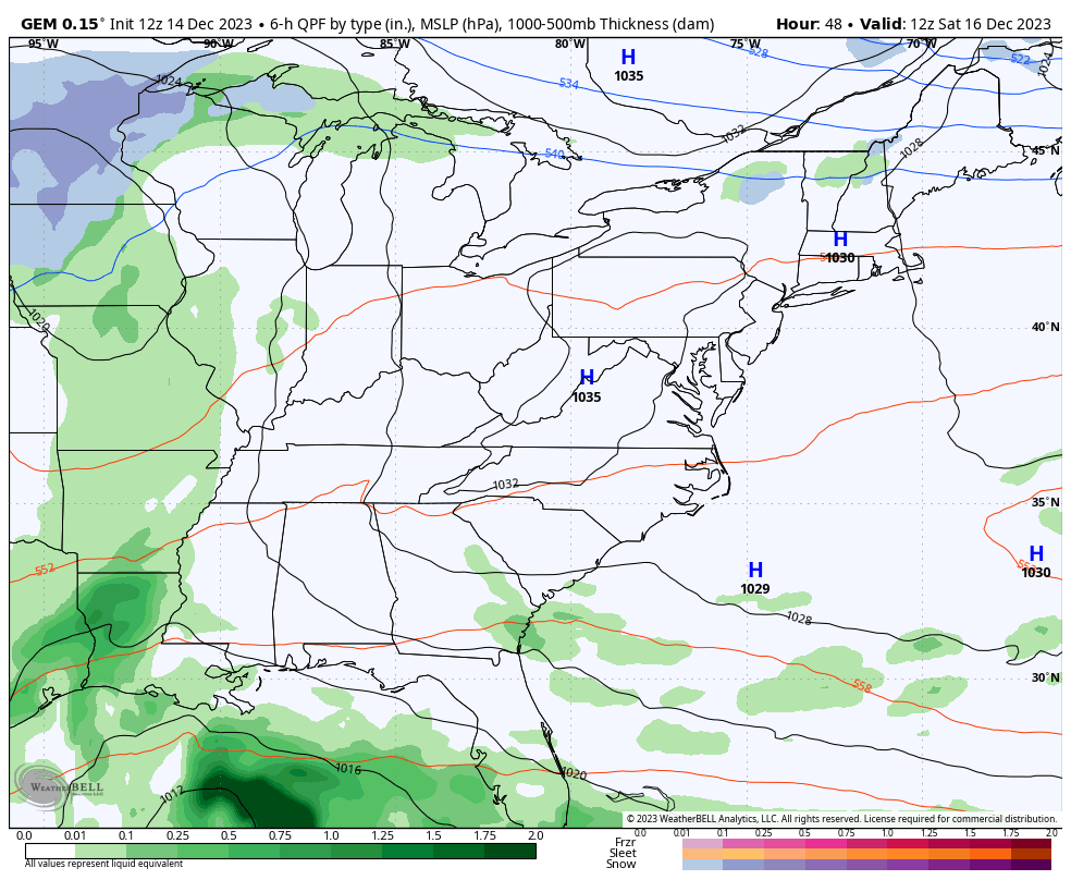
The Canadian is similar…
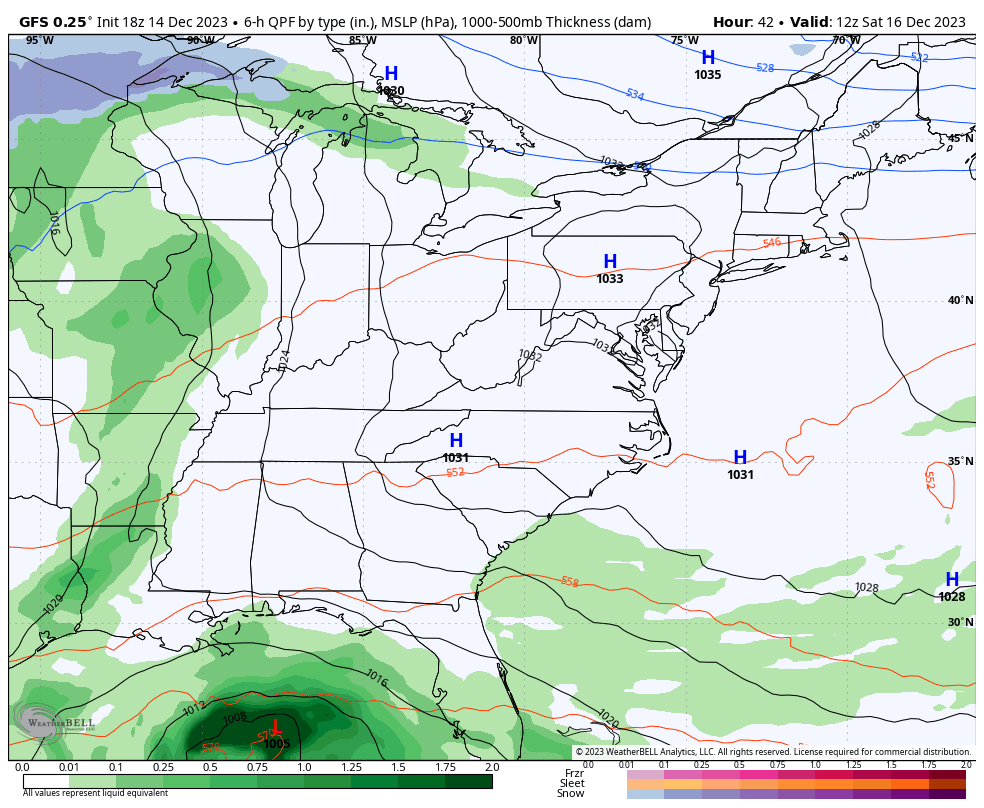
The GFS is a work in progress, but it’s getting there…
So there ya go… the chance for a little winter weather early next week.
Enjoy the rest of your day and take care.
