Good Wednesday, gang. Milder winds kick in over the next few days with a the increasing threat for wet weather for Christmas. That wet weather may very well turn into winter weather a few days later as our pattern flips in a big way.
Temps today reach the mid and upper 40s for eastern Kentucky with low 50s west.
The numbers climb a little more with most areas 50 or better for the second half of the week. There’s also a system rolling in for Friday and Saturday and it may bring a shower or two with it, but this doesn’t look terribly widespread.
The overall pattern continues to evolve toward one that will feature a big block going up across Canada with an undercutting jet across the good ol USA. This type of a pattern is very conducive for some monter cutoff lows and big dips in the jet stream.
The GFS shows this well from the just after Christmas all the way into early January…
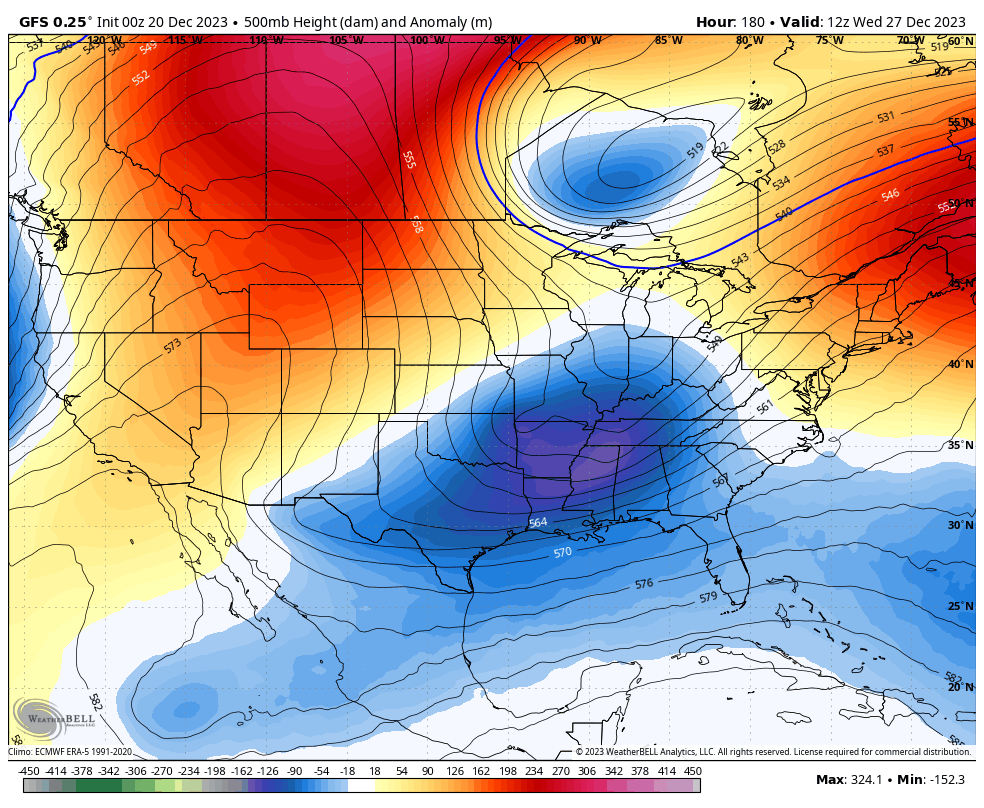
Can we get a phased system or two out of that type of a setup? Maybe so.
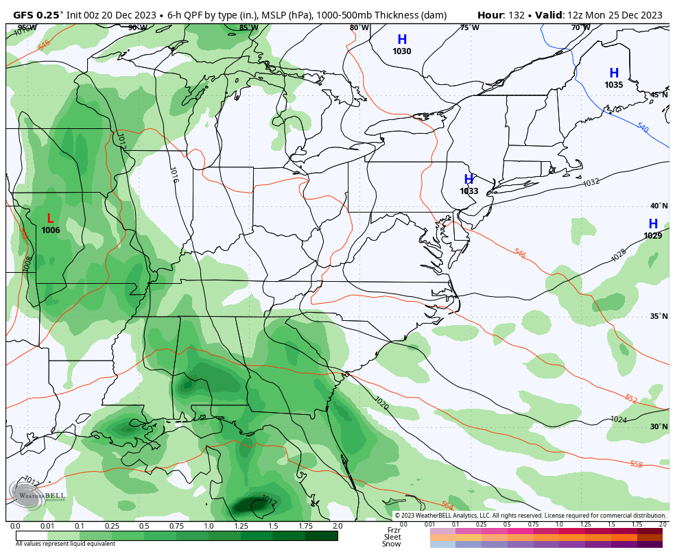
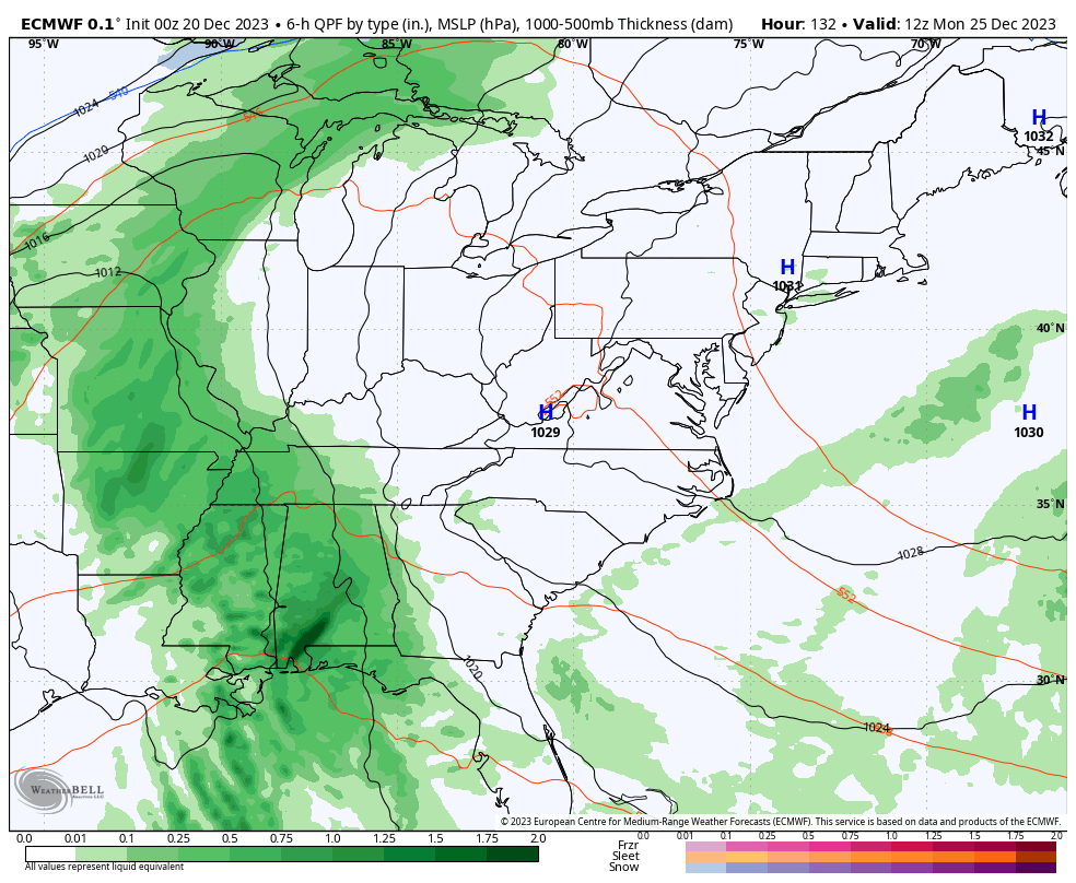
At the surface, we have to watch for a Christmas rainmaker before colder air dumps in with another system trying to develop later next week…
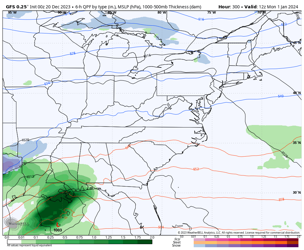
Don’t take these computer runs as the gospel, but more of an overall guidance on an active setup that can feature winter weather. This same run of the GFS then keeps the systems coming at us into the start of the new year…
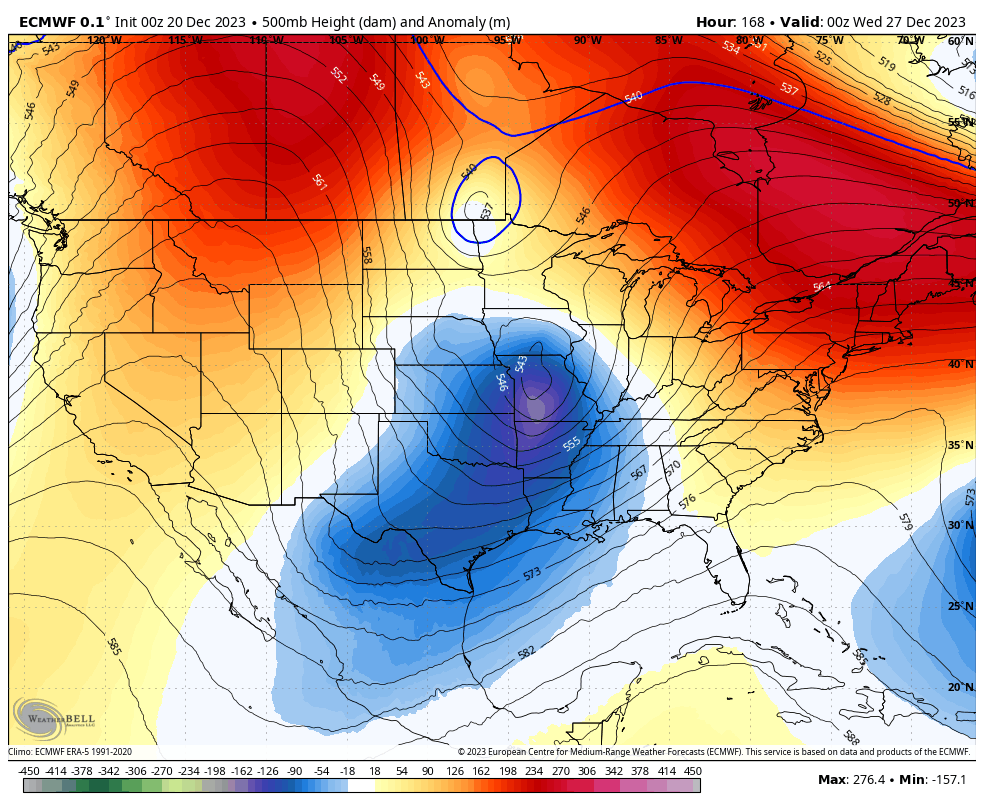
The EURO doesn’t go out as far as the GFS, but it is pretty much in agreement with what the GFS is showing between Christmas and New Year’s…
Hang in there winter weather lovers, your days are coming.
I’ll have another update later today. Make it a good one and take care.

Thanks Chris. Very interesting. Have a Great day !
Pacific now predicted to cooperate only briefly
My knee says rain is definitely in the picture in the next few days. It has a good track record lol. I don’t like this weather for Christmas but I guess we will have to take it. I want more snow squalls. Those were amazing but didn’t last heavy snow and then a few minutes sun shining. What causes snow squalls???
Crystal, here’s a link that explains Snow Squalls. I would of had it for you yesterday but my computer wasn’t working right :
https://search.yahoo.com/yhs/search?hspart=litmus&hsimp=yhs-inboxzone&type=1470475-vsub-ext01&p=What+causes+Snow+Squalls