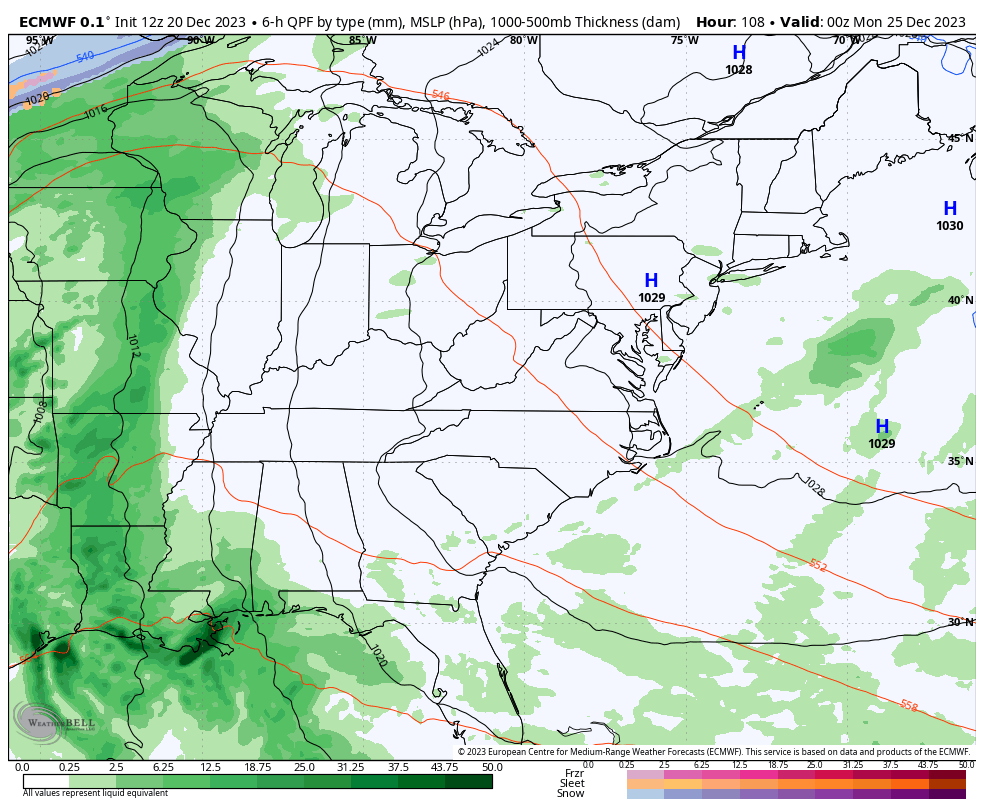
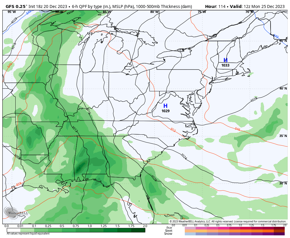
Good evening, folks. It’s a mild setup on the way as we roll into Christmas weekend. This mild air will be accompanied by a few showers and then a big blast of rain and wind just in time for Christmas day.
This pattern goes colder as blocking sets up across Canada, leading to much more of a winter look across the country. At this point, anything will qualify as more of a winter look. Right?
The models will continue to have timing troubles with all the action rolling across the country. This happens under the big block in Canada…
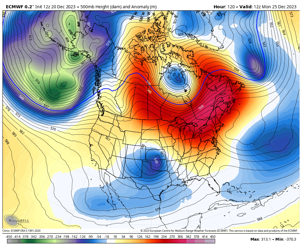
Until the models figure out the upper level energy, they have no hope of figuring out the surface. The only for sure thing is the rain and wind coming Christmas Day. Some winter should show up right after that, but the current models aren’t as interesting in that regard…
EURO
GFS
This is the start of a cold and wintry setup that really digs in for early January. I will get into that later tonight. Enjoy the evening and take care.

See you later tonight.