Good evening, folks. Our mild Christmas weekend is underway with a lot of rain and wind set to blow in for Christmas Day. The pattern is still on pace to transition into a winter one later next week with an increasing chance for some snows.
We are still watching for a few showers to roll across the region tonight and Saturday with the greatest chance in the north and west. Here are your radars to follow along…

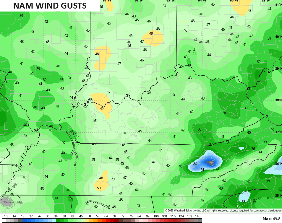
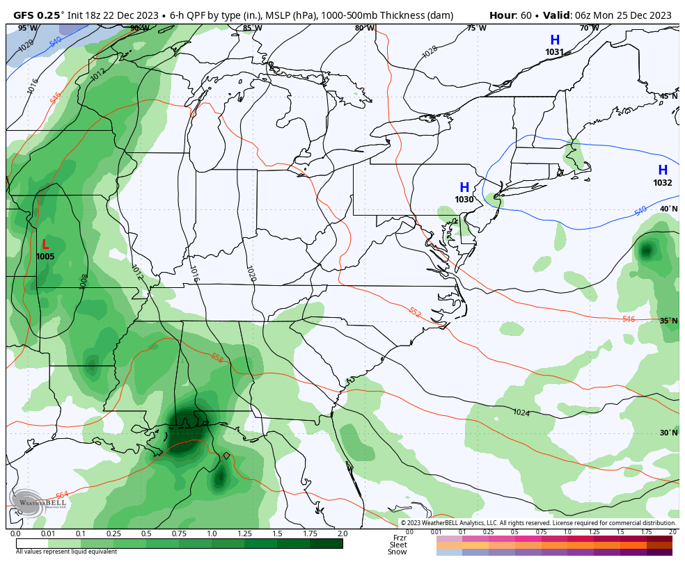
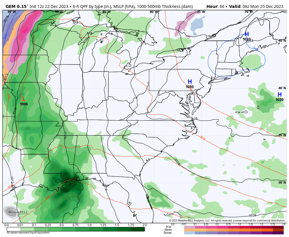
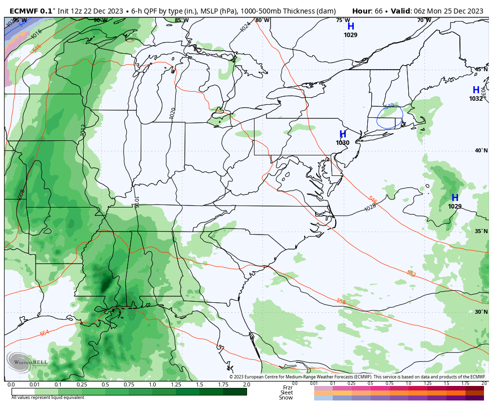
Highs by Christmas Eve reach 60 for many areas, making for a Grinch of a forecast. Rain and wind roll in overnight into Christmas Day and the American Models like the GFS and NAM are really cranking the Christmas Day winds.
Check out the NAM wind gusts for Christmas…
Once this moves through, much colder air surges in from the west on Tuesday with several smaller scale systems joining in on the fun. These are not being handled well on the models and there’s the potential for one of them to turn into something bigger.
Still, we are seeing the colder air and snow chances showing up on the models for the second half of next week…
GFS
CANADIAN
The EURO is still having issues with the upper low itself, but it’s coming around to what the other models are showing…
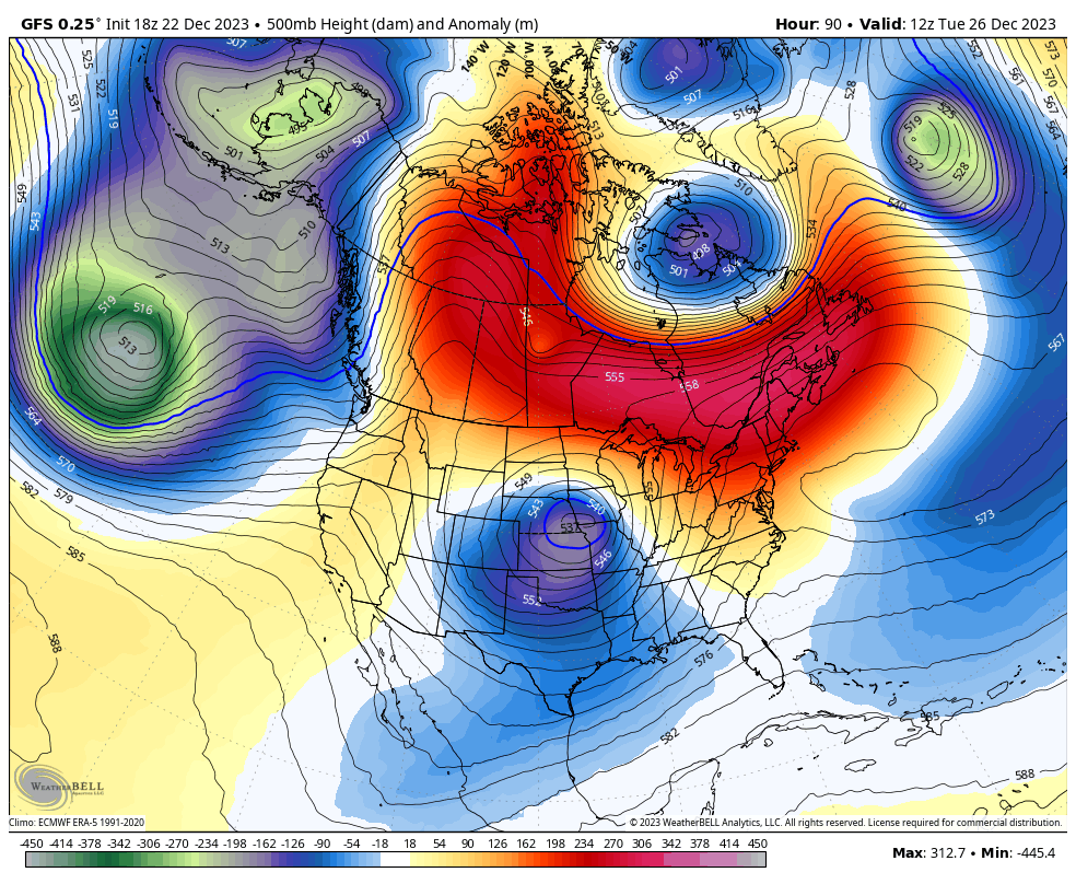
Speaking of the upper levels, there’s a lot of action coming across the country underneath that MONSTER block going up in Canada…
Odds favor this pattern giving us snow threats late next week into New Year’s Weekend. That’s the opening act for what should be a very wintry month of January.
I’ll see you guys tonight for the main update. Have a good one and take care.
