Good evening, folks. We continue with our mild Christmas weekend as a big storm system rolls our way. This blows in here on Christmas Day with gusty winds and rain. This is ahead of a pattern change to winter.
A few showers continue out there this evening across parts of central and eastern Kentucky. Here are your radars…

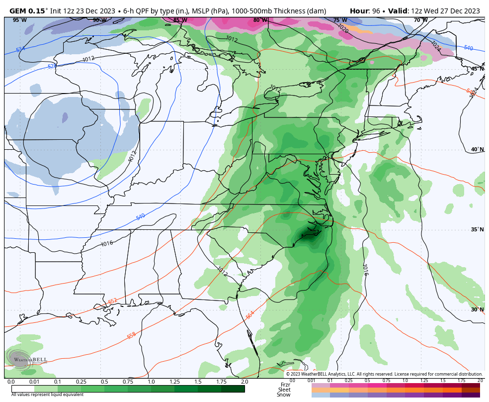
The Christmas Day system spins into the plains and Mississippi Valley, bringing rain and wind in here Christmas Day into early Tuesday…
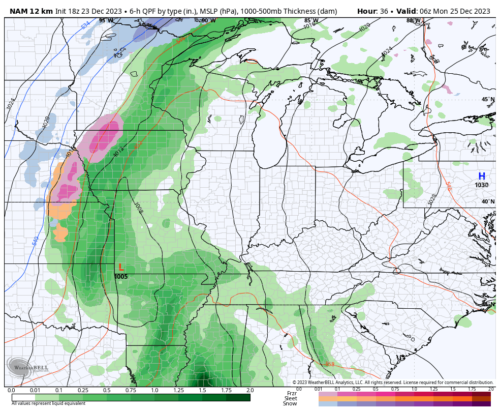
Gusty winds of 30mph-40mph will be likely with this system. The NAM fam is pretty jacked up winds of more than 40mph…
Merry Christmas!! 😲🙄
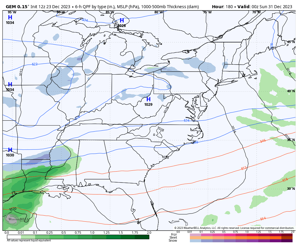
Once that blows through, much colder winds kick in later Tuesday into Wednesday with several light snow and snow shower making systems rotating in behind it for the middle and end of the week.
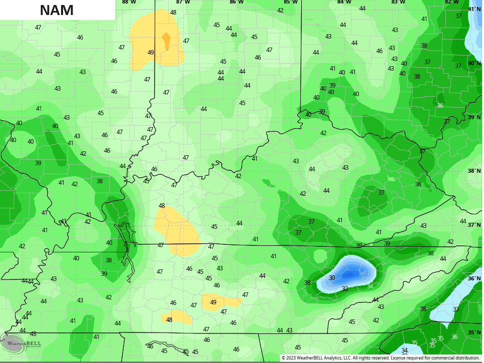
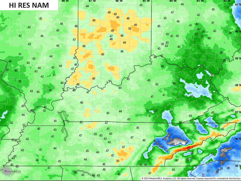
Here’s the GFS…
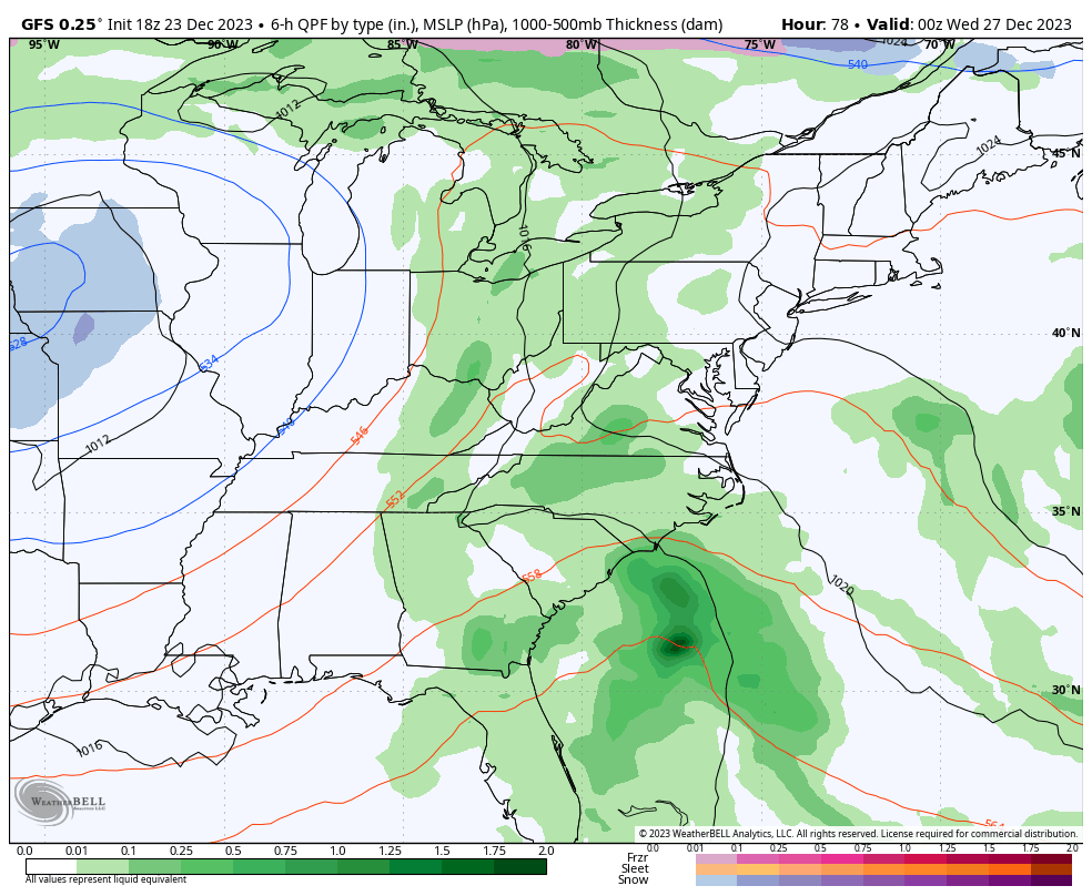
That’s now matching what the Canadian has been saying consistently for several days now…
Can we get one of those impulses to blow up into something more? There’s a chance, so it’s something to watch out for.
Several models have also been hinting at a system coming out of the south and southwest New Year’s Weekend…
As I said, there’s a lot of potential on the winter weather table starting the second half of next week.
Enjoy the evening and take care.
