Good Sunday and Merry Christmas Eve! It’s a VERY mild day out there as we get set for Santa to bring wind and rain into the region for Christmas Day. Once this passes through, a change to winter weather is on the way for the closing days of the year.
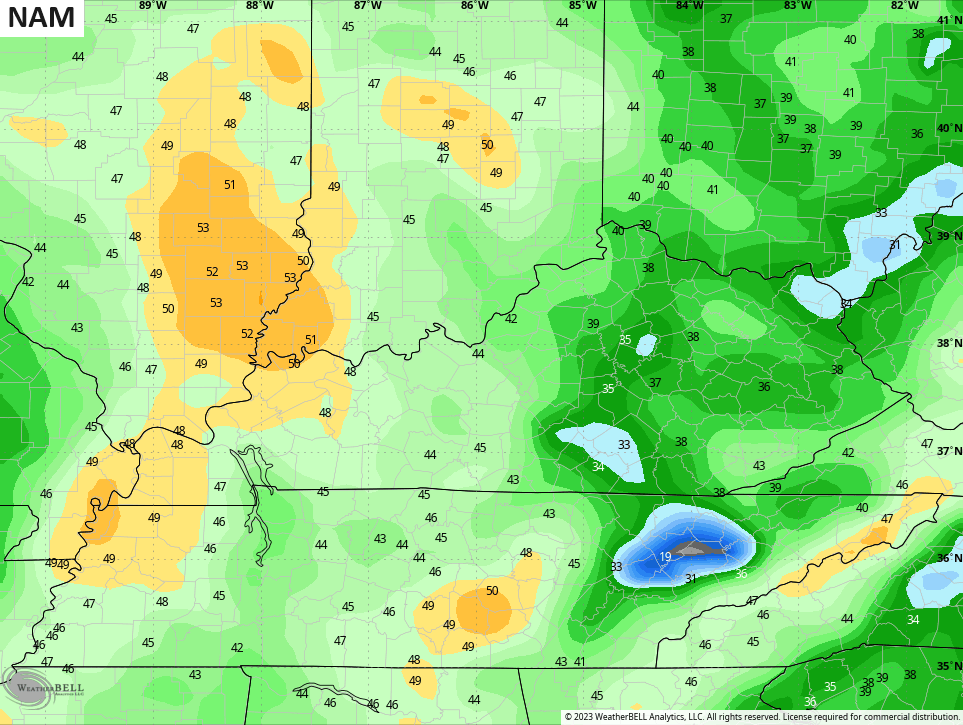
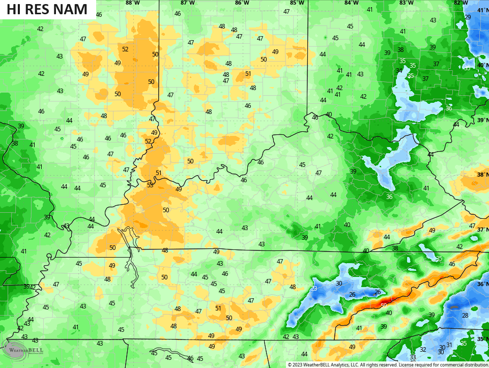
As mentioned, temps out there today reach the upper 50s to low 60s for most of the state. There’s a mix of sun and clouds with just a small shower chance lingering into the day. Here are your radars to help you find any of the holdover drops…

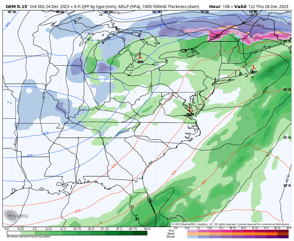
A potent storm system spins from the Plains States into the Mississippi Valley Christmas Day. This brings a surge of wind and heavy rain into the region later tonight through Tuesday morning. This means widespread rain for Christmas Day…
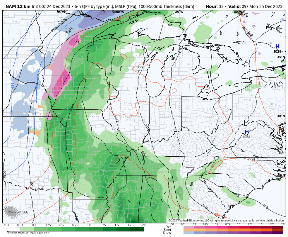
Many areas should pick up a half to one inch of rain during this time and there’s even the chance for some Christmas thunder across the western half of the state.🎄🌩️
Winds are also a big time player with gusts from 30mph-40mph a good bet, but some of the models are spitting out gusts of 40mph or greater…
The much-anticipated pattern change arrives shortly after Christmas with snow chances and much colder temps showing up. The models are having a time resolving all the individual systems floating around and diving into the trough developing in the east. This animation shows chaos in the upper levels with soooooooo many areas of vorticity…
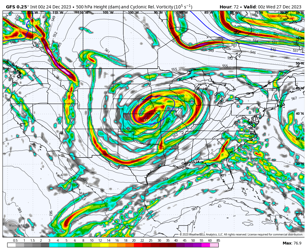
How those interact with one another is a tall task for any model to figure out and that’s why we are seeing the models jumping around a bit.
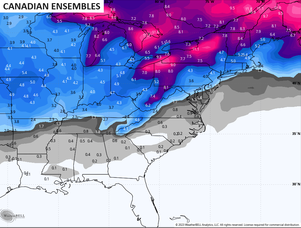
The Canadian continues to be the most consistent…
As you can see, the best chance for snow arrives Thursday and continues into, at least, part of the New Year’s Weekend.
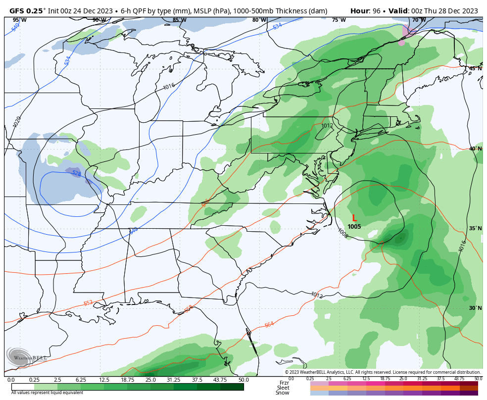
The GFS changes from run to run, but it’s showing a healthier system trying to spin up…
The pattern into early January looks very active and, perhaps, quite wintry. An active southern storm track combining with frequent cold air intrusions could get pretty fun and that potential is showing up on recent ensemble runs…
I’ll have another update later today. Merry Christmas Eve and take care.

It looks like the eastern half of the state has the best chance to see some snowfall.
It seems this has been the trend over the last few years.
Merry Christmas Eve Chris and everyone. It’s nice to have a blog where all us weather geeks can gather and share our thoughts of the weather. Everything I read seems to favor a good chance of snow and cold after End of December but as always we shall see. If you see Santa send him my way. Also where’s Rolo???
Yes, Merry Christmas! Shoveled out cold ashes and laid new wood in our stove for a fire today, but it’s going to be too pretty to huddle inside. Maybe Christmas Day, but certainly later in the week. Yesterday, I helped a family with four young children build their first fire in the fireplace of their 60’s house. They were all so excited. Warm, crackling fires on chilly days just have a way of pulling everyone into the same space.
I’m happy that we don’t need a fire today. I consider this my birthday present. 🙂
MERRY CHRISTMAS TO EVERYONE
To my fellow weather weenies, Merry Christmas to all!!
Bernie Rayno says, never trust an upper level low. Could be a good thumping of snow for some. Merry Christmas to all.
Currently 66° in Richmond and I am grilling out. Merry Christmas and Happy Holidays to all.