Good evening, everyone. Periods of light snow and flurries continue to push across the region and this continues into Saturday. There’s another light flake maker due in town just in time for the New Year.
Snow showers and a period of light snow will increase into the overnight and this could put down additional coatings, especially on elevated and grassy surfaces. Here’s the future radar from the Hi Res NAM from this evening through Noon Saturday…
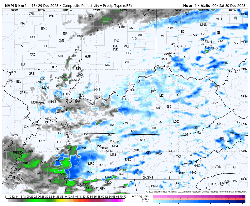
Your winter weather tracking radars are on duty to celebrate the final Friday of the year…

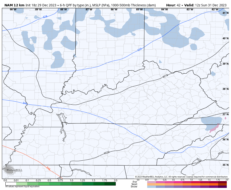
A little late day clearing is possible Saturday afternoon and evening in the north and west. That clearing takes us into early Sunday before another cold front drops in from the northwest with some snow showers and flurries to start 2024…
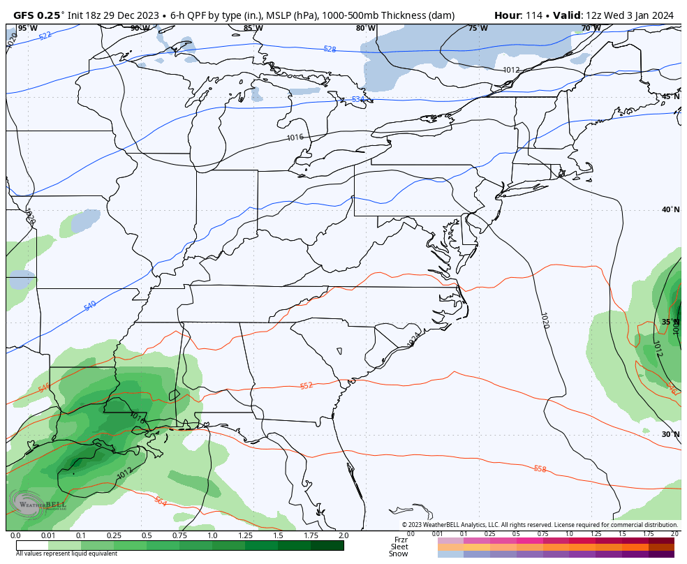
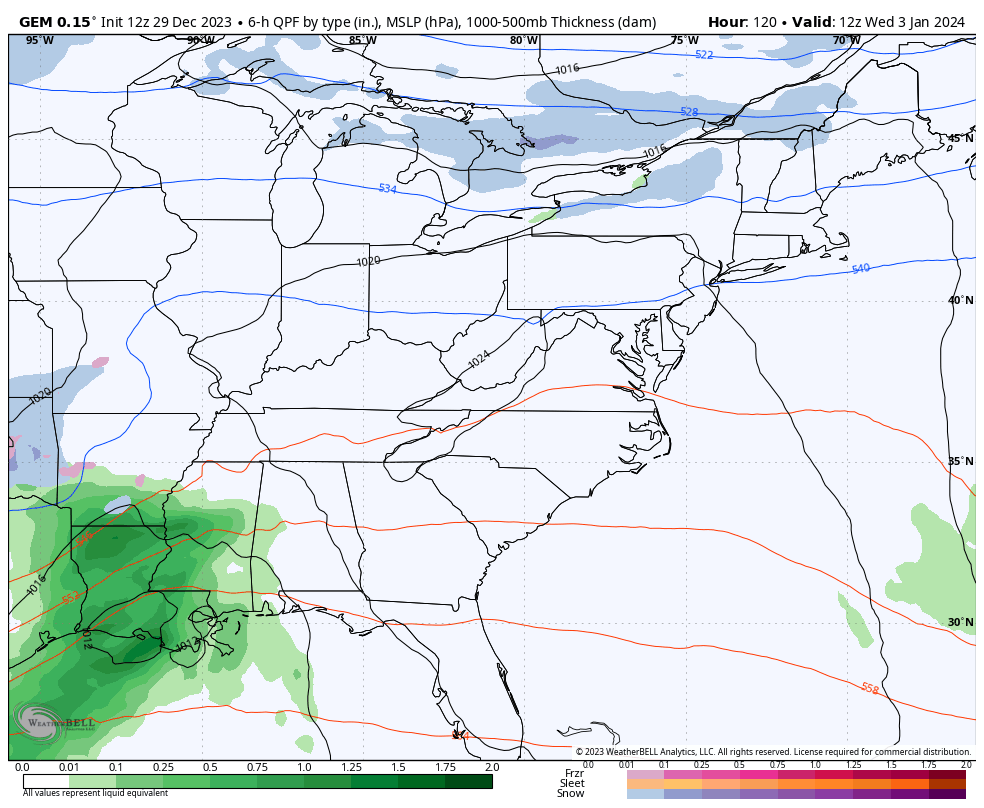
The pattern then turns to one featuring several southern stream storm systems trying to hook up with dips in the jet stream from the north and northwest. The models are struggling with on to phase or not to phase these systems from the middle of next week into next weekend…
GFS
CANADIAN
The pattern for January has a lot of potential, especially as arctic air gets involved by week two.
Have a great evening and take care.
