Good evening, folks. Highs winds and heavy rain blasted the Bluegrass state today and now we track light snow and snow squalls kicking in through the overnight. The loaded pattern has two more systems and arctic cold to throw at us in the coming days.
The switch to snow light snow and squalls takes over from the southwest to north and northeast this evening with all this taking us into early Wednesday. With gusty winds, snows may reduce visibility at times. Here’s the future radar from the Hi Res NAM…
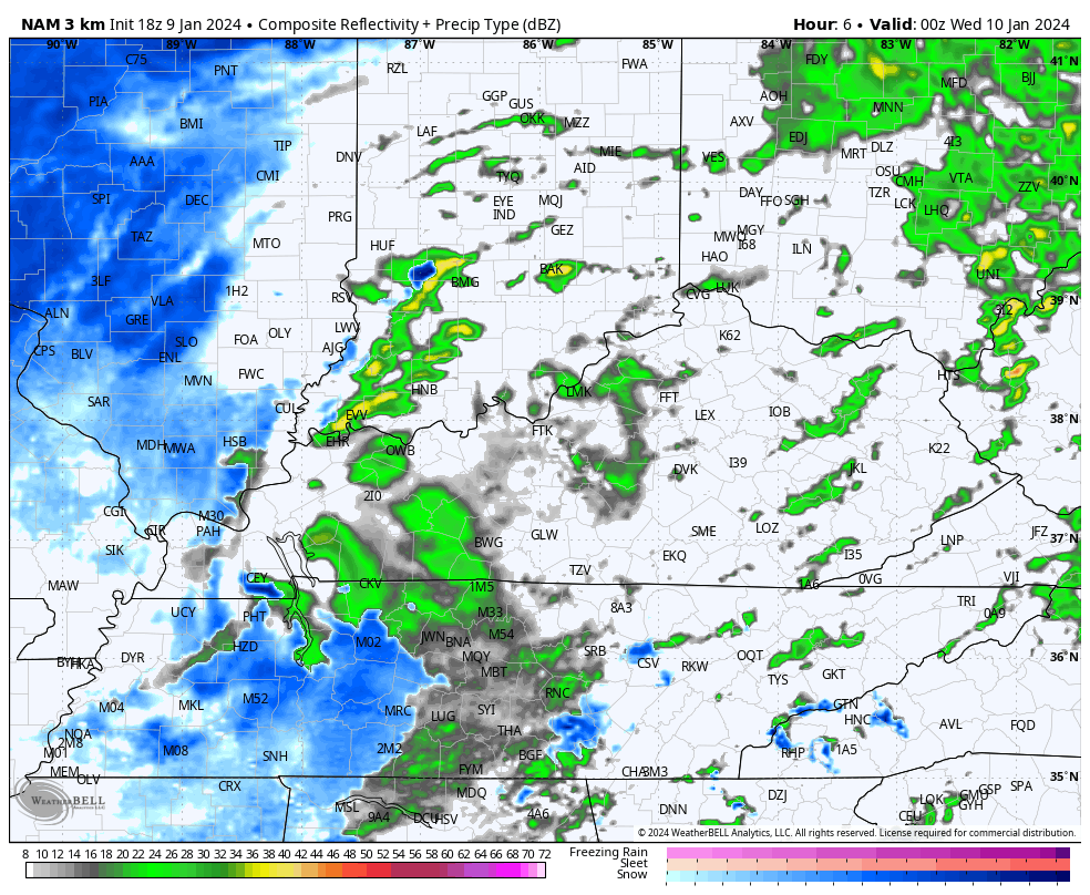
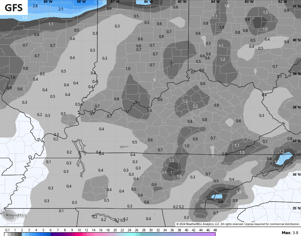
The models are generally spitting out widespread coatings to an inch in some spots…
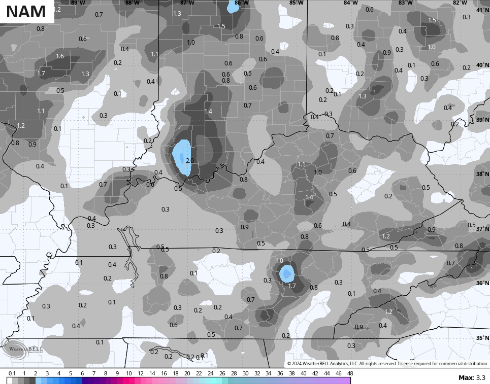
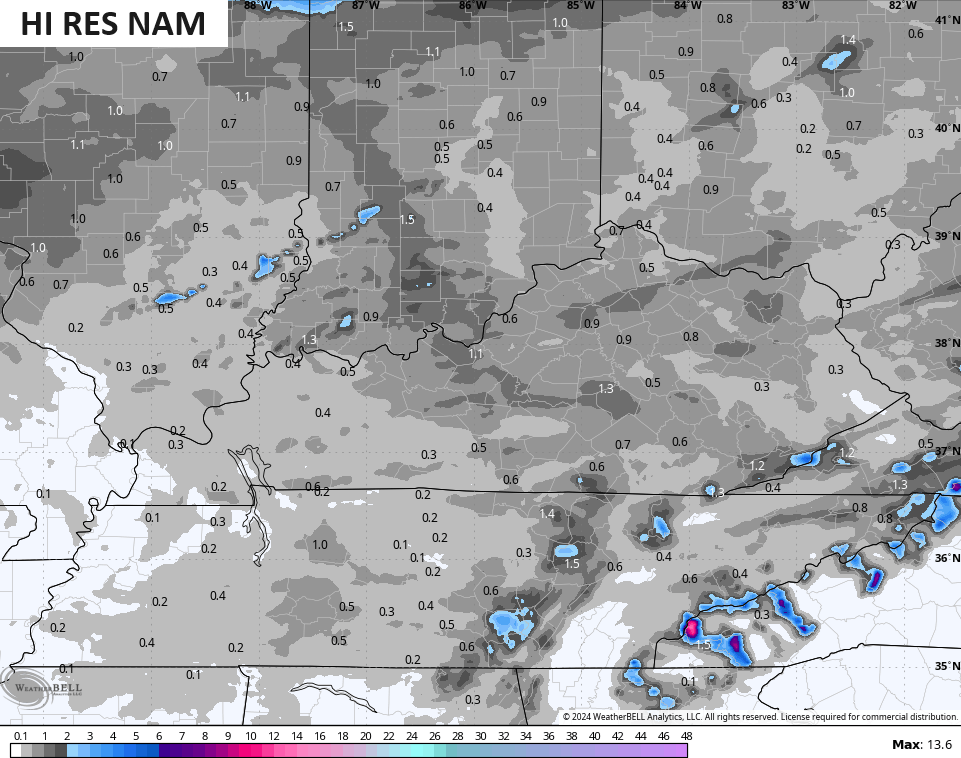
With a wet ground, much of that would be on elevated surfaces and grassy surfaces. Watch for slick spots on bridges and overpasses as temps drop below freezing late tonight.
The next system brings high winds and heavy rain Friday with a transition to snow from the west Friday night with wraparound light snows for Saturday…
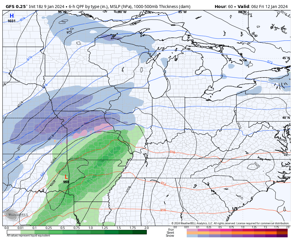
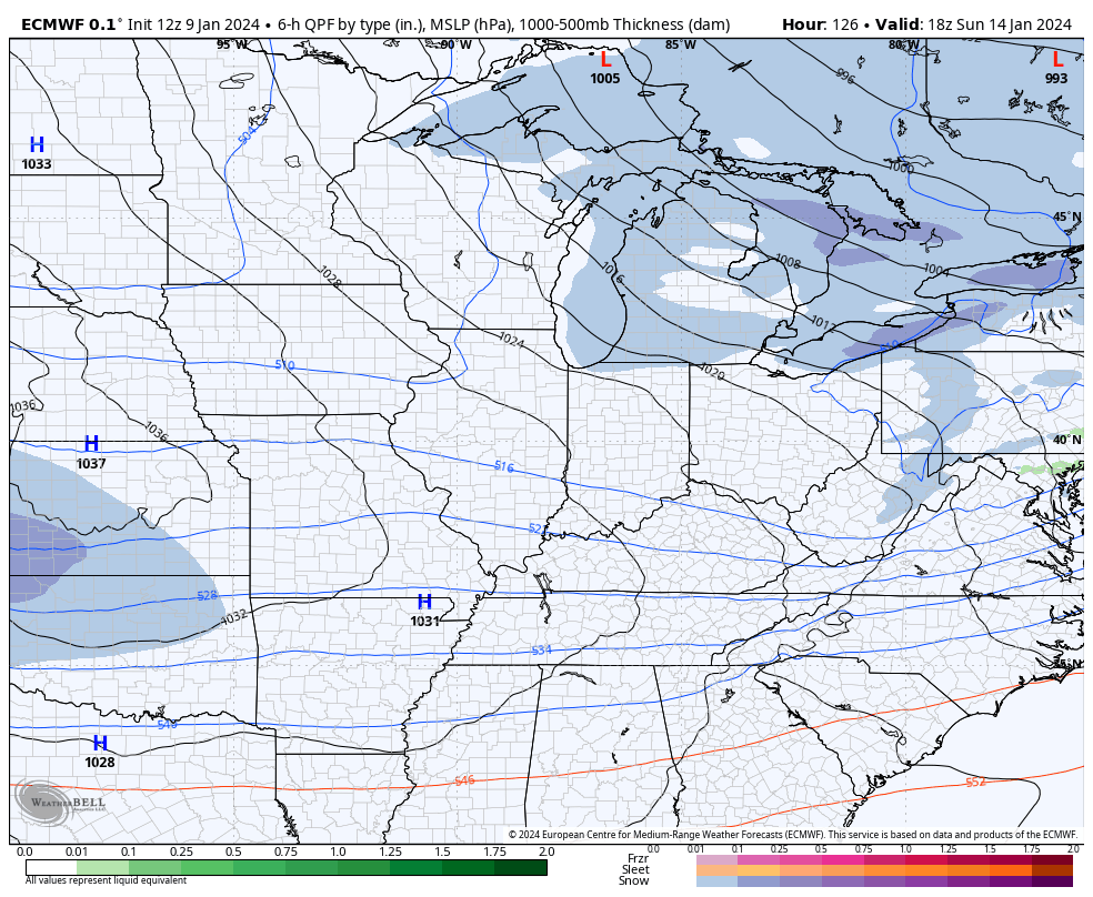
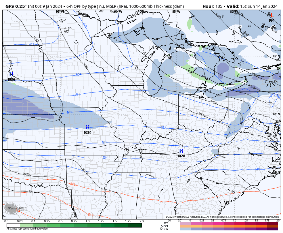
It’s full steam ahead toward what may very well become a Winter Storm THREAT for Sunday and Monday. The signal from the models continues to be stout…
EURO
GFS
I leave you with your light snow and snow squall tracking radars…

Enjoy the rest of the evening and take care.

Cool! If we get a significant snow, the fluffy stuff is easier to shovel!
You might get it Bubba G but I doubt I will in the topics of eastern Ky.It starts out looking good then bottom falls out lol I have been reading someone may get heavy or accumulating snow next week actually I read chance of heavy snow but I guess that’s just talk at this point and as Chris says take it with a grain of salt. It will chance from run to run he says. The point is there is a chance for someone probably not me but someone could be looking at accumulating snow next week.