Good morning, folks. Leftover flurries and a cold wind continue across areas of Kentucky this afternoon as we turn our attention toward the next big systems on the way. The first is a big wind maker arriving Friday with the second one arriving Sunday as a snow maker with bitter cold behind it.
Low pressure rolls quickly through the Ohio Valley Friday with winds cranking to 50mph or greater. Heavy rains will also be possible for western and central parts of the state. As the low wraps up to our north, cold quickly surges in here Friday evening into Saturday. We have to be on guard for a quick freeze up of the standing water. Throw some light snow on top of that and it could get a little slippery at times as temps drop through the 20s Friday night and Saturday.
Here’s the evolution of our storm…
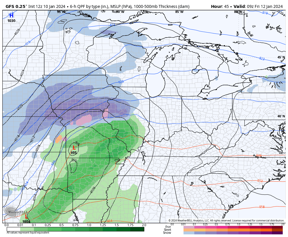
The models are spitting out another round of high winds and the output data is actually higher than the gusts we just had…
The number of big wind events we’ve had over the past year and change is astounding!!
As arctic cold moves into the area late this weekend, another low pressure develops and takes a farther south track. That throws snow in here from late Sunday through early Tuesday and the potential is there for significant totals to show up.
The GFS is trending toward what the EURO was showing last night in a bigger and longer duration scenario…
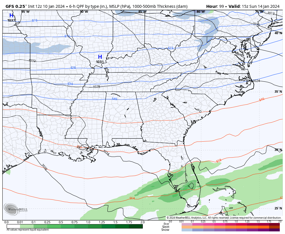
The Canadian is too, but is a little more jumpy…
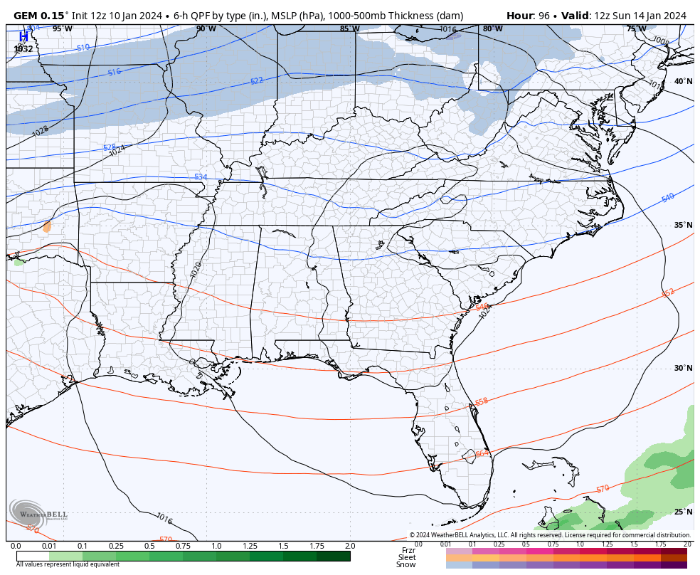
With arctic cold air in place, you can really maximize snow totals in that type of an air mass.
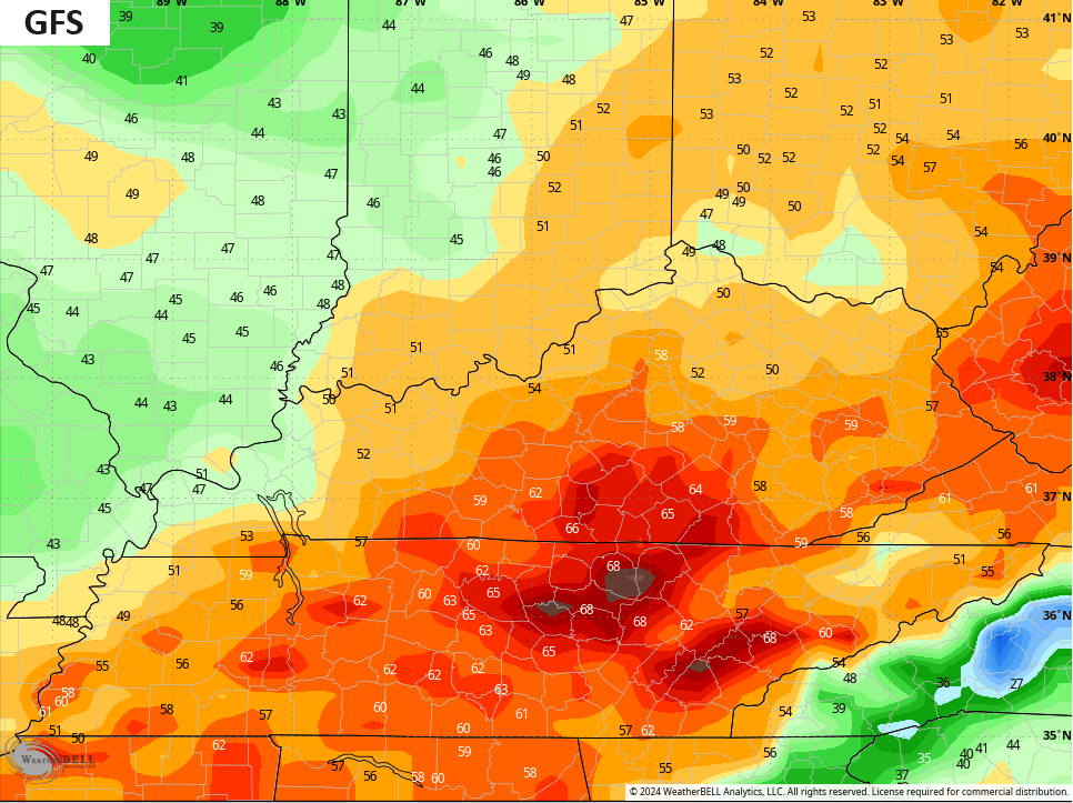
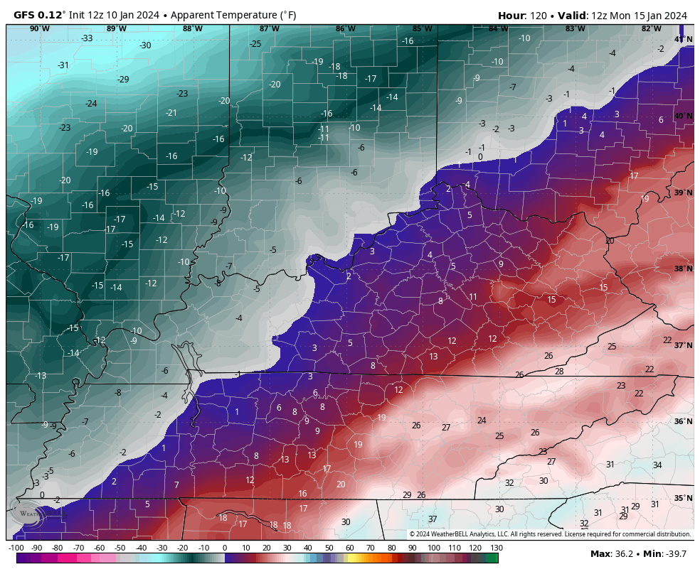
Speaking of arctic cold, temps likely go below zero behind this with the wind chills that drop into the danger category…
Buckle up for the ride, kiddos.
I’ve got the latest on WKYT-TV starting at 4pm and will have another KWC update this evening.
Enjoy your Wednesday and take care.

I cannot wait to see the euro model this afternoon.
12z Euro totally different than 00z, we probably at least 3 days away from models converging.
The Euro literally lost its phase.
models will likely have a better idea, after that cutter is out of the way.
QP of a 1/4” with snow ratio near 20
Would lead to near 6-8” of snow
Thanks Chris. Too bad the lows are to far north of Kentucky. They could have produce lots of snow statewide if we had Polar air in place and the low’s path was through the Tennessee valley and up the Appalachians. Arctic air is bone dry. Frigid temperatures is what we don’t need for a snowstorm. If we have a snowstorm it won’t amount to much. Moisture starved.
I don’t know if you remember back in the late 70’s winter, I remember the temp was in the teens and we got a thumping snow then. As long we got the moisture it will still snow.
Correct the high snow ratio makes up for any below table levels of moisture.
You can’t compare today’s weather pattern with the weather pattern back in the late 1970’s.
Just curious, Schroeder, why can’t you make that comparison?
The climate has made a major shift since the late 1970’s. Temperatures and precipitation patterns are much different now due to an increase in global temperatures.
The weather is the same to me, just a different time.