Good evening, folks. Our active pattern is about ready to really flex on us starting Friday and taking us through the weekend and into next week. Everything from strong thunderstorms and high winds to snow and arctic cold are on the weather menu.
Let’s start with Friday and what may also become a low-end severe storms threat. What? Yep, you ready that correctly. With this low spinning just to our west, we find a narrow corridor for some severe storms with damaging winds to go up. Because of this, the Storm Prediction Center even has a Marginal Risk for severe storms…

With our without severe storms, damaging winds are possible with gusts that will likely top 50mph at times. The latest models are showing highest wind gusts they’ve had since March 3rd of last year…
The HRRR only goes through 1pm Friday, but you can see two lines of thunderstorms that may cause some issues. The first gets east of Interstate 65 by 1pm with the second line spinning right behind it…
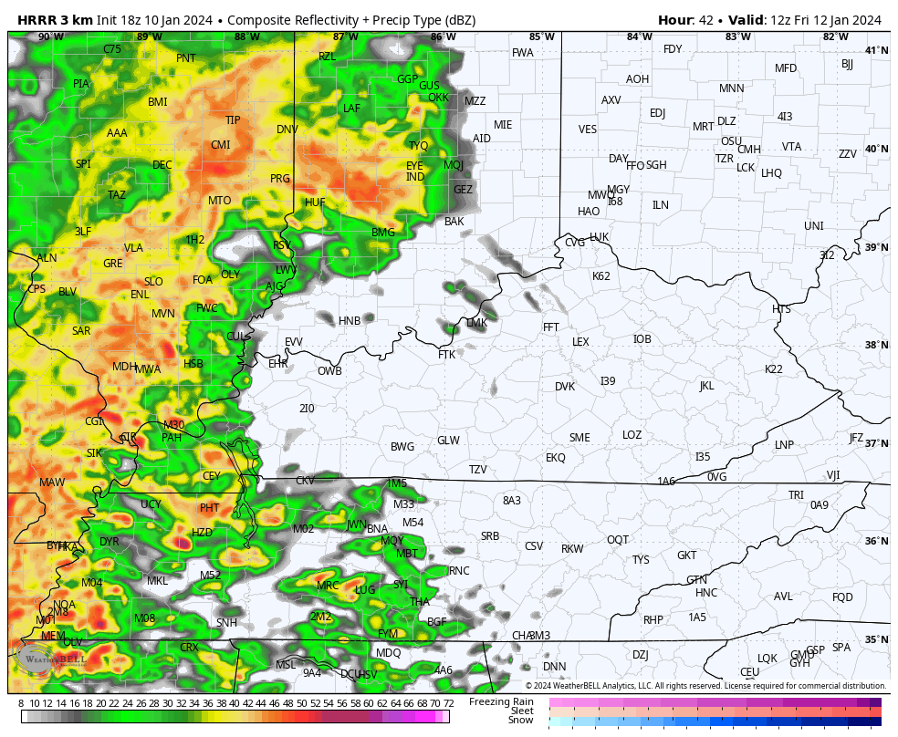
That second line is the one to watch.
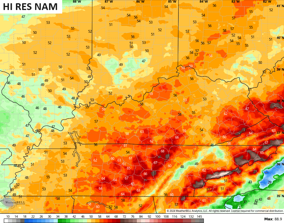
The Hi Res NAM shows a similar look, but goes all the way out to 1am Saturday. You can see the wraparound snow showers kicking in by late Friday evening…

Those wraparound light snow and snow showers will be noted into Saturday.
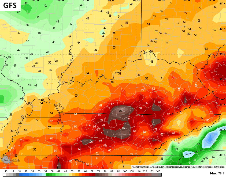
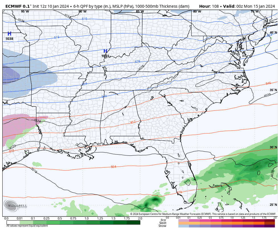
In terms of the Sunday/Monday system, we are in the time period where the models like to lose a system before bringing it back a day or two before. Both the GFS and EURO offer up lighter solutions with a more strung out system…
GFS
EURO
Even those “lighter” runs would bring accumulating snow to the region. Knowing a bit about the model history, we typically see the models do things like this in the 3-5 day window. We also seem to always find storm systems going farther north and west than the models suggest.
The NWS is also hitting the potential for this storm and bitter cold…

I’ll see you guys with the latest on WKYT News on the CW Lexington at 10 and on WKYT-TV at 11.
Enjoy the evening and take care.

The 3 to 5 days out stealth storm.
So we don’t chant together- Sunday and Monday?
Hopefully it’s like CB said and the models reacquire the system. That, or the newer data is seeing something different now. I like big fluffy snows- way easier to shovel and power usually stay on.
Be interesting on tonight’s Euro run..See if it keeps the idea of a trailing wave being held back..Need that to happen and amplify for a big snow..
Yep Chris, you wrapped it all up in a nutshell, those lows keep tracking north and west, leaving us with rain and wind,true fencetucky. Another snow starved year? Guess might as well start getting used to it.hopefully will get enough of a pattern change to at least get one decent snow this winter.
I figured it will take it away from the south and move north so I can’t get excited anymore but someone might get a good snow. That wind and cold is very concerning. What is with this strong winds?? I have read some today about a a bomb cyclone what is that exactly???
The strong winds are caused by a strong gradient between the low pressure to our west and the strong ridge that is currently over our area. Bomb cyclone is just a term. Means nothing.