Good evening, folks. High winds are likely across the state as we go into Friday and Friday night. This comes from a stout low pressure lifting northward through the region. This will be followed up by crashing temps and snow showers. The questions on what to do with the late Sunday through Tuesday snow system remain.
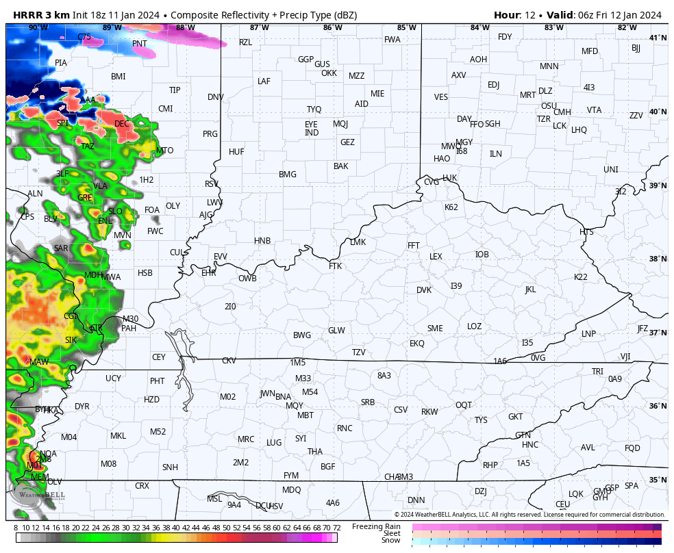
The future radar of the HRRR shows our Friday system very well. Rain and a few thunderstorms spin in here followed by a quick switch to some snow showers…
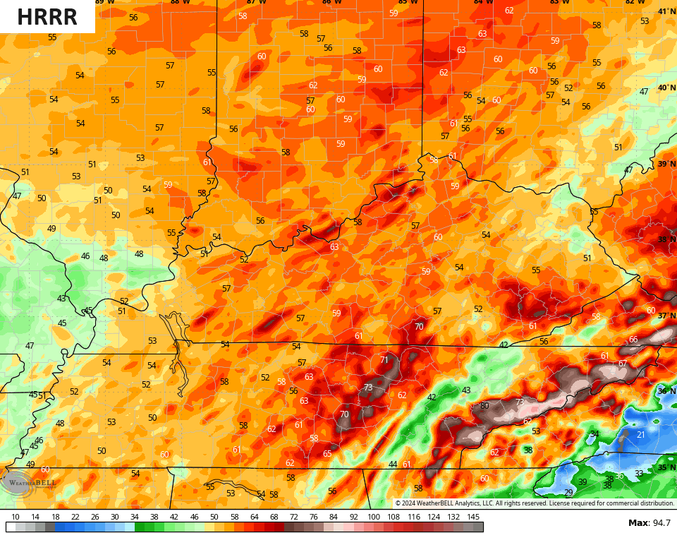
Winds of 50-60mph will be likely across the state with locally higher gusts. Western Kentucky is already under a High Wind Warning with a Wind Advisory for the rest of the state. I expect that to be upgraded to a High Wind Warning at some point.
The models aren’t backing down on the high wind potential…

Ok, so what do we do with the snow threat from late Sunday through Tuesday? I have no changes to my thought process as of now with one wave of light snow possible late Sunday into early Monday with a more robust setup potential later Monday and Tuesday. Most models are seeing this.
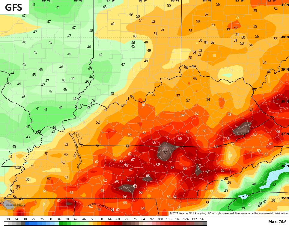
Here’s the latest GFS…
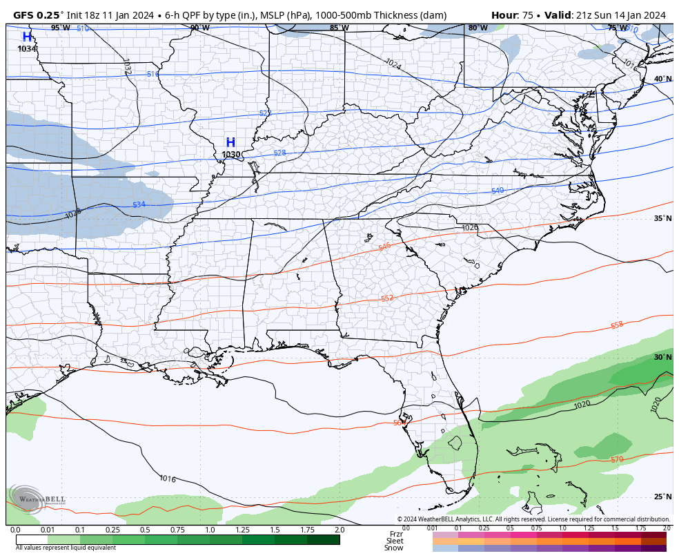
That’s a healthy snow hit for our region and is something the EURO was showing a few days ago. The latest run of the EURO has pretty much nothing…

The model totally loses our system altogether. As of now, it’s the only model showing this and has no other model friends. Can I completely discount it? No, I can’t because I can see a scenario where the arctic cold crushes this system to our south. I just don’t think that’s the likely scenario right now.
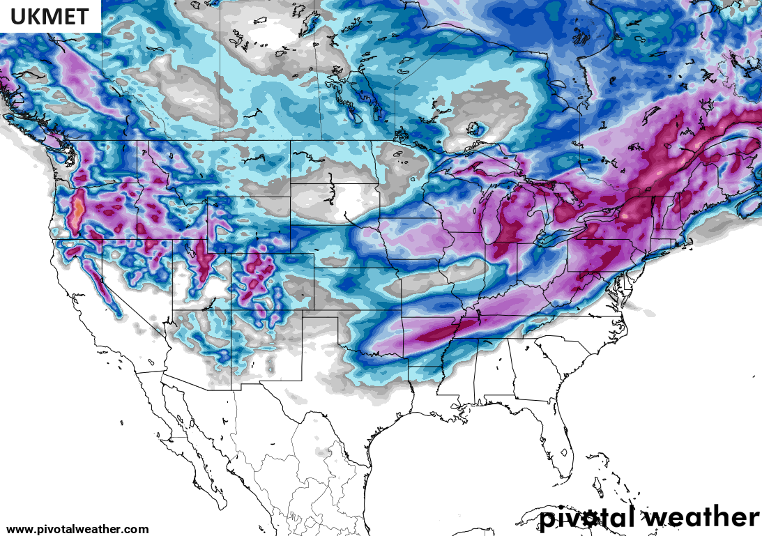
Neither does another model from overseas as the UKMET sees our Texas to New England potential…
Bitterly cold temps take control after this storm.
I’ll update things on WKYT News on the CW Lexington starting at 10pm and on WKYT-TV at 11.
I leave you with your radars to follow the rain and storms developing to our southwest…

Enjoy the evening and take care.

One day at a time.
GFS run this evening should be interesting.
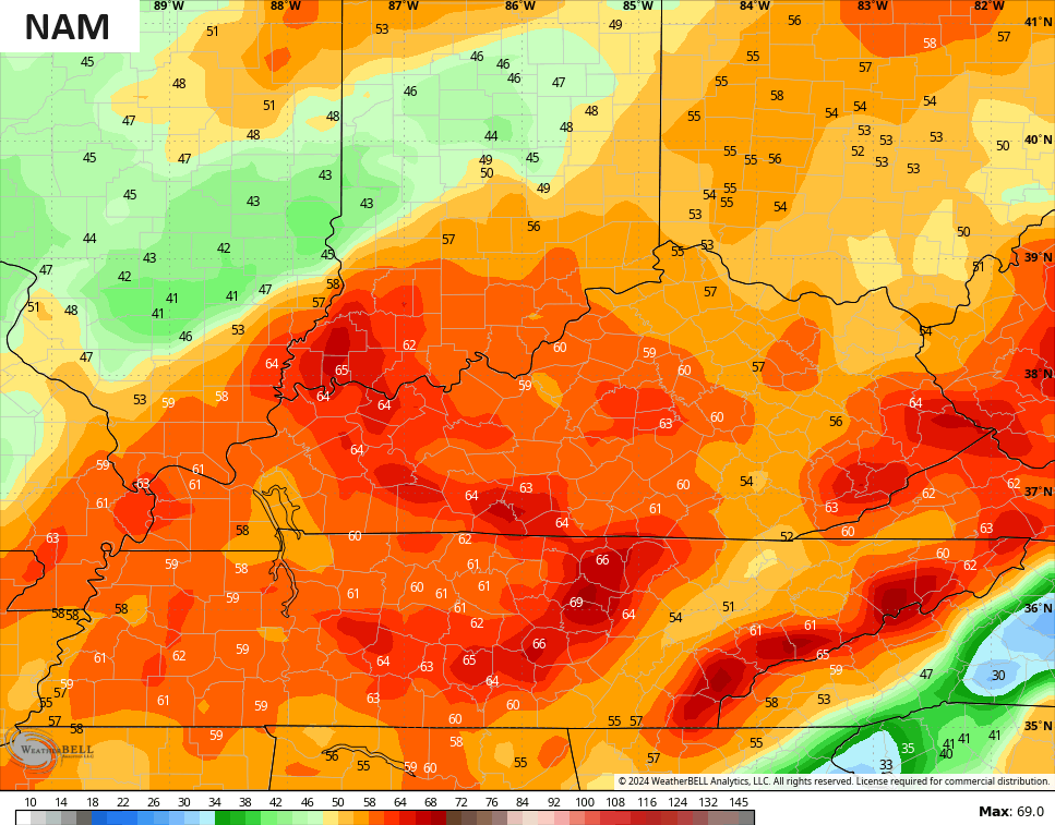
Also we might see the beginnings how the NAM is seeing the Sun./Mon. event.
Of course we should not ignore the weather tomorrow.
I wonder the models will not see what Sunday and Monday snow chances are until Friday event passe Sometimes that has a influence.
I wonder the models won’t get a agreement what are snow chances are on Sunday – Monday until the Tomorrow event passes by. Sometimes that has a influence in it