Good afternoon, everyone. Much of the state is now under a fresh blanket of heavy snow with some areas picking up 4″-5″ of new snow since Thursday. Additional accumulations are a good bet with snow showers taking over as arctic air blasts the bluegrass state.
Roads will continue to be snow covered in many areas through tonight as these snow showers and squalls kick it up a notch. The models usually are too wimpy with this action, but it’s showing up better and better now that they’re right on top of us…
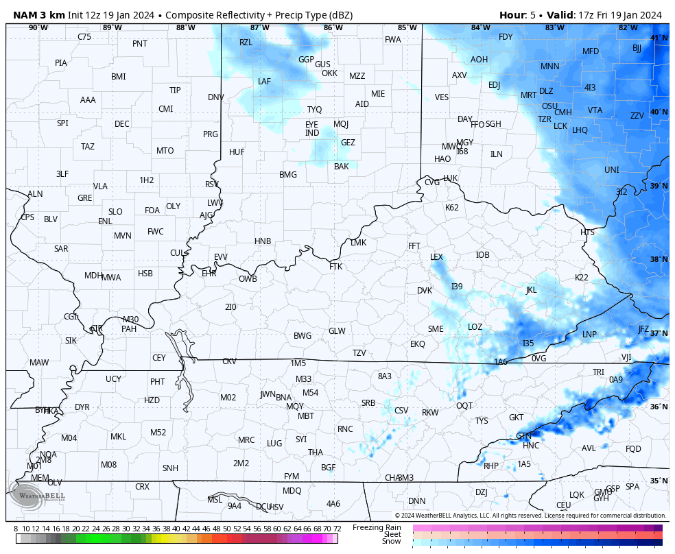
Whiteout conditions will be possible in the squalls through Saturday morning. Up to another 1″ of snow will be possible into central Kentucky with 1″-2″ in the east and southeast.
Here are your radars to follow the flakes…

The arctic front crossing the state this afternoon is bringing gusty winds and temps crashing into the teens. This sets the stage for overnight lows to reach -5 to 5 with wind chills that are back into the danger category.
Watch the wind chills plummet from 7pm today through 8am Saturday…

Temps are likely well below zero Sunday morning for most of the region.
The pattern next week continues to look super wet and that may bring the chance for high water issues by the middle and end of the week. This pattern may also try to go back to winter late next weekend or early the following week…
 I’ll have the latest on WKYT-TV starting at 4pm today and with another KWC update this evening.
Stay safe, stay warm and take care.

Did the Winter Advisory get removed? That would be silly.
North Richmond got the 5″ so far. Now that the snow is blowing, measuring bets are off. 10″ total for two events, so even if no more snow this winter, still more than all last winter… For this area anyway.
I actually think I can concur with your measurement. But we will get plenty more this winter.
You think we will get more Jeff????