Good evening, folks. Bitterly cold temps are back in the bluegrass state as snow showers and a few snow squalls continue to do their thing. Additional light accumulations are a good bet into early Saturday, but the bitter cold is the star of the weekend weather show.
The snow showers and squalls are kicking in from the northwest to the southeast with the greatest concentration in the east and southeast. Still, I think additional snow showers and a few squalls will be noted back into central Kentucky.
Here are your evening radars, but a lot of the snow showers won’t even show up on these…

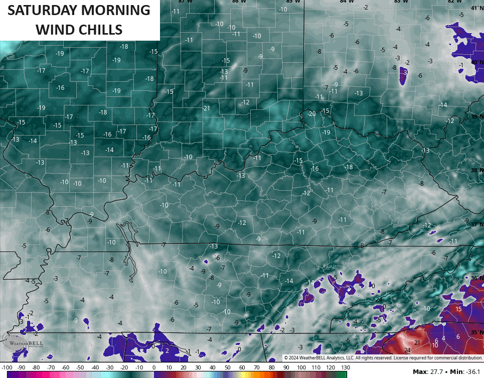
Flakes will likely be flying into Saturday as bitter cold temps are the norm. Wind chills early on Saturday are likely -5 to -15 degrees in many areas. The HRRR is showing numbers down to -20 in the north…
Thermometers of below zero are likely Sunday morning. Frozen pipes alert is a full go this weekend.
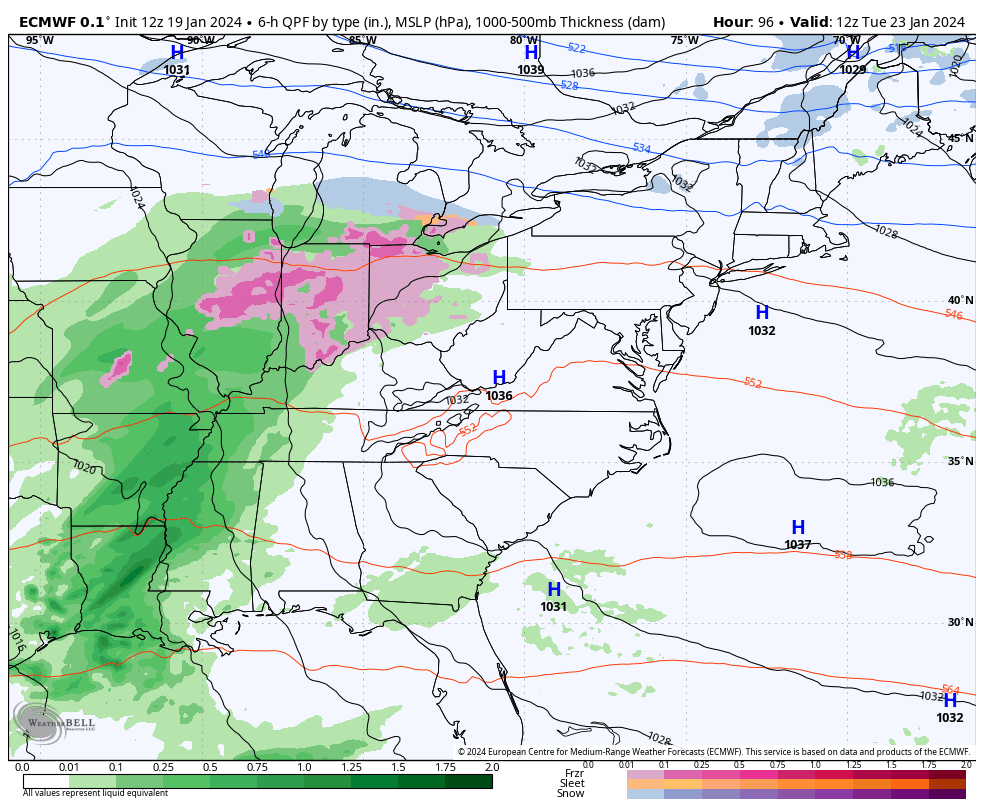
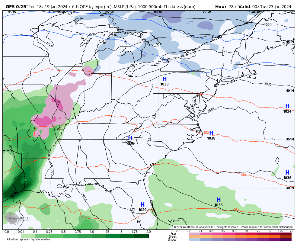
Next week is a milder pattern with periods of heavy rain coming at us through the end of the week. This may all end as a winter weather threat next weekend…
EURO
GFS
Enjoy the evening and take care.

The last I looked it was still snowing in Pikeville. I don’t think it’s let up since it started. I really dread the cold. Stay warm and don’t forget the pets in this weather.