Good evening, friends. There isn’t a whole lot more than can be said about how awesome the weather is right now, so I’m going to be a buzzkill and talk about changes showing up by the weekend.
The timing of the weekend system continues to be a work in progress. Essentially, we get a boundary to slowly slide in from the northwest and slow down on top of the region. Areas of low pressure then roll northeastward along the boundary from Saturday through early next week.
The first system looks more like a Saturday rain maker with a bit of a break on Sunday before the next system arrives Sunday night and Monday. Depending on the track of that system, rain and some snow would be possible across Kentucky.
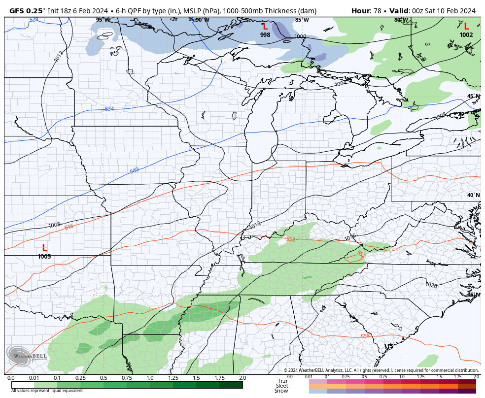
Here’s the GFS showing our Saturday rain and some rain and snow with the Monday storm…
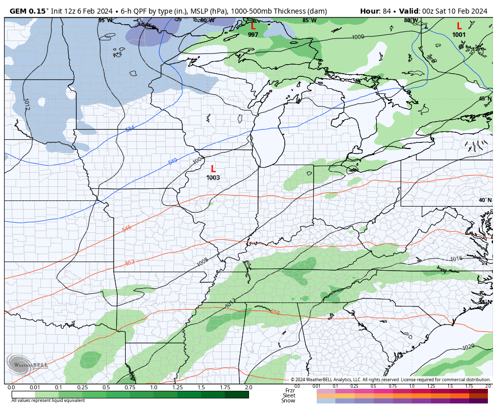
The Canadian is similar with both systems…
I’m not using the EURO right now because of the bias of the model in holding too much energy behind. But, to be fair, all operational models are going to struggle during a pattern change.
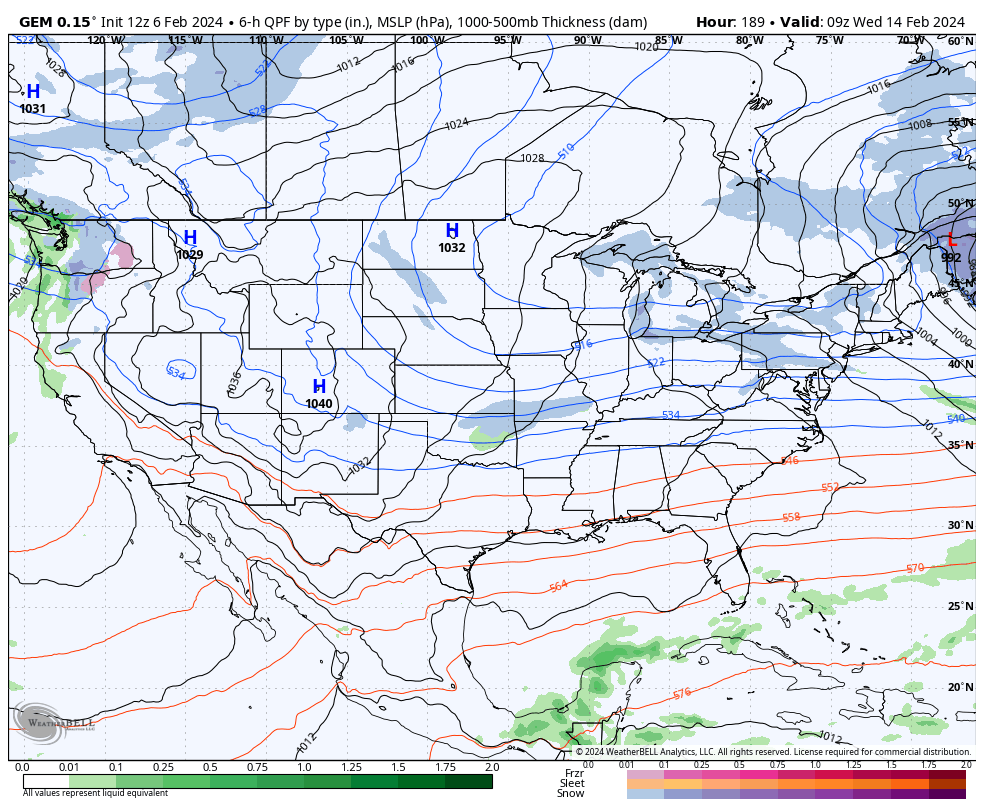
Additional systems then drop in later next week and may bring winter weather with them. You can see those on the Canadian…
The much colder pattern setting up for the second half of February should also bring snow threats to our region. As a matter of fact, the latest 2 week snow maps from the ENSEMBLES show the chances very well…

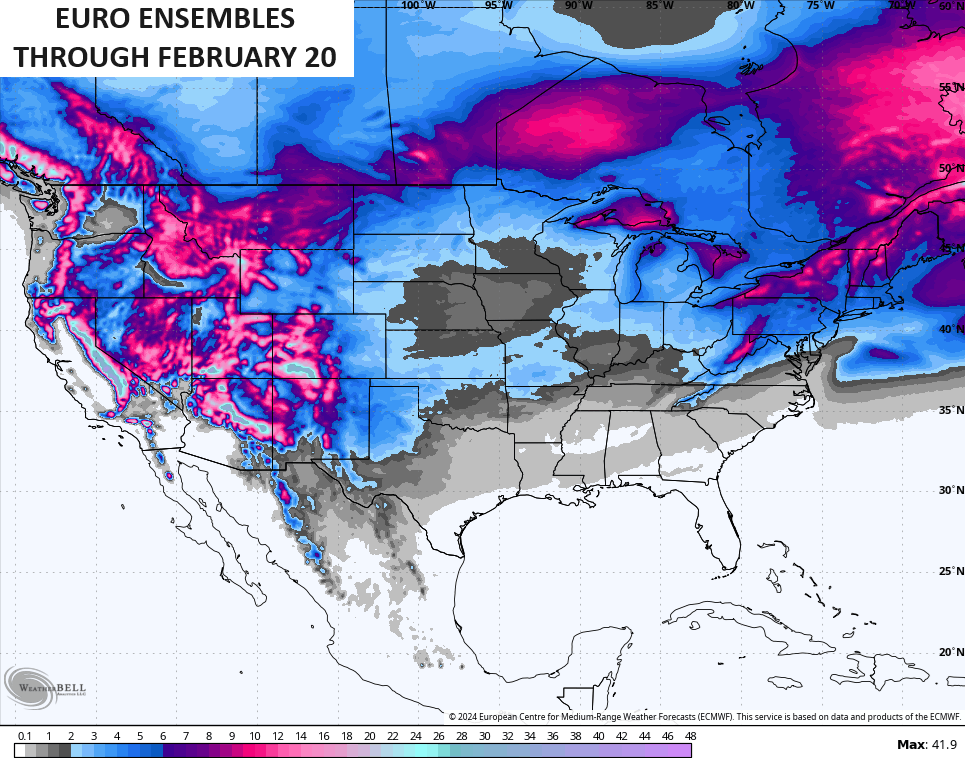
You can see how both even have some chances into the deep south. That’s just the models way of saying they see a cold pattern with a storm track across the south.
Enjoy the evening and take care.

Looks like Clipper season is starting to begin.