Good evening, folks. Mild temps continue to do their thing for the next several days before changes continue to show up for the weekend. Those changes lead us into a pattern that may throw some winter at us as early as Monday.
The system ahead of that one brings gusty showers in here Friday night and part of Saturday, but this is not a washout.
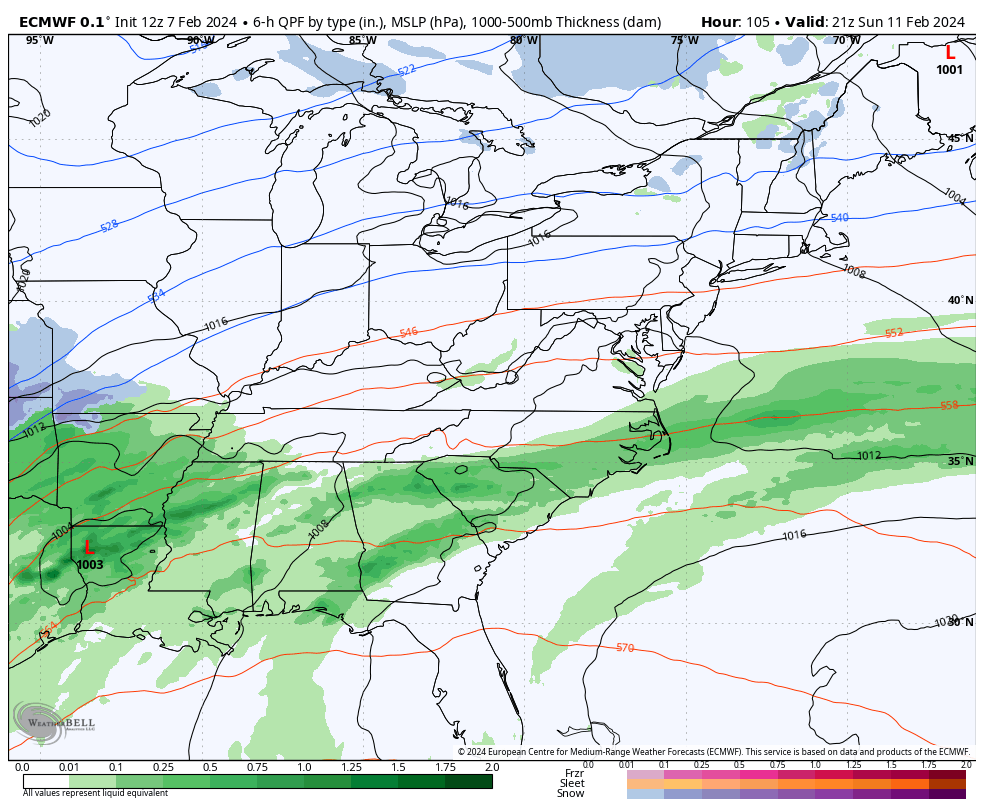
The next storm system is low pressure that moves from the southwest to northeast and has cold air to work with on the western and northern side of the low. This is where the track of the low becomes important and the models are still figuring that out.
The EURO has this low moving across eastern Kentucky into West Virginia with rain ending as a period of snow later Monday and Monday night…
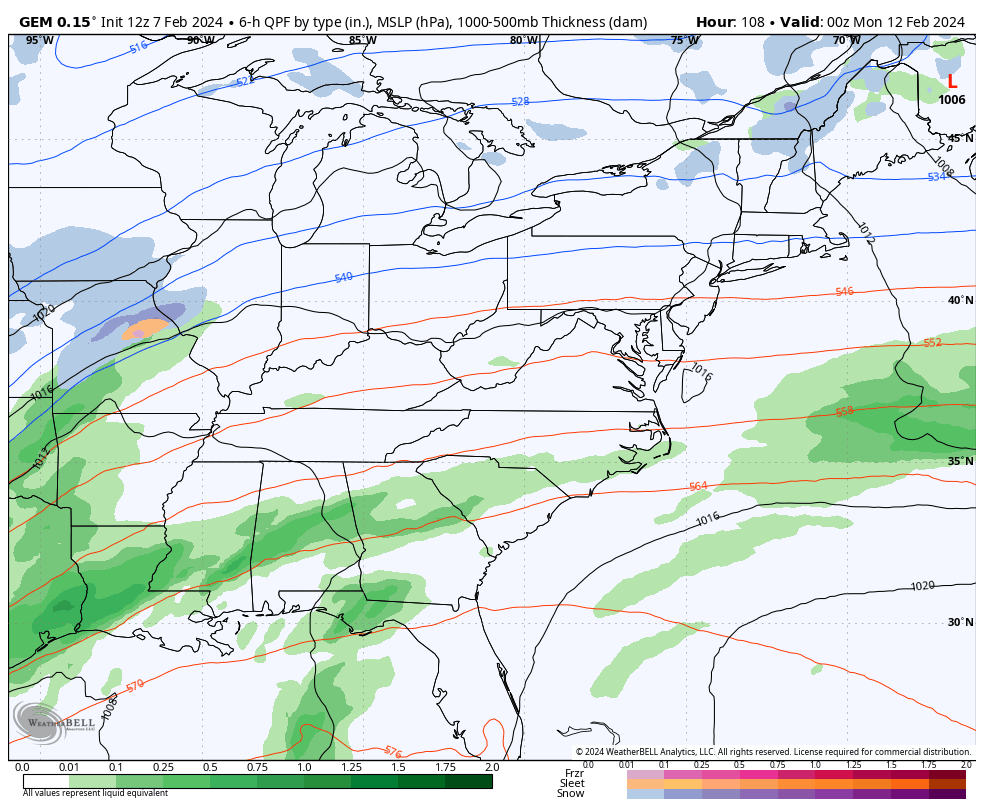
The Canadian is stronger and farther north with the low but still shows wraparound light snows from this…
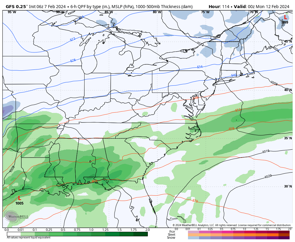
The GFS is jumping around with the low, but the past few runs show why the track is so important. The morning run was weaker with the low and only gave us a few wraparound flakes…
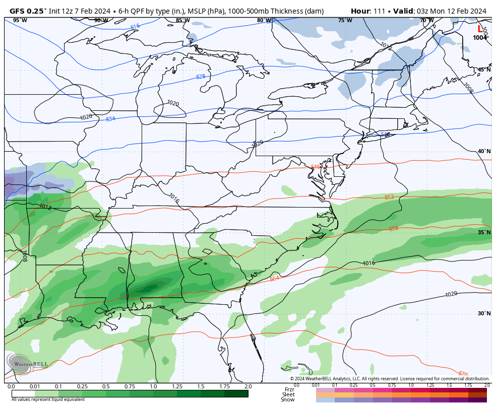
The run prior to that was much stronger and more wrapped up, giving us a healthy snow chance…
As of now, I’m only expecting this to be rain to some wraparound light snow and snow showers, but we shall see.
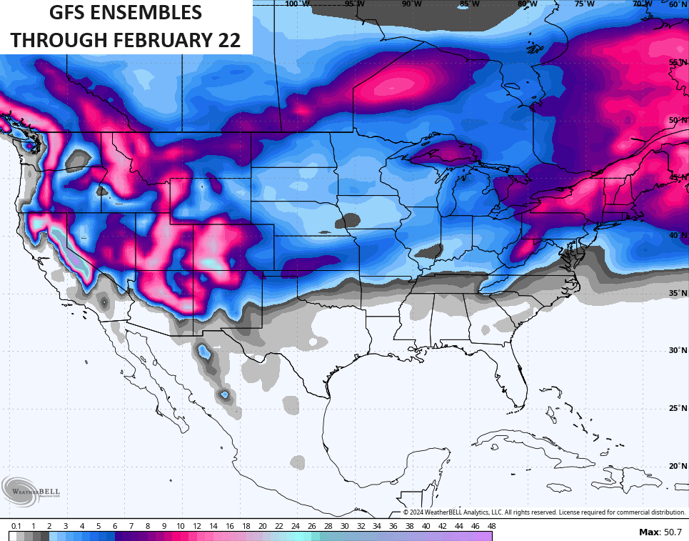
The overall pattern continues to go toward winter next week and beyond. The GFS Ensembles see the cold and their seeing more and more snow chances over the next few weeks…
Enjoy the evening and take care.

Thanks CB! Looks like the snow line for the ensembles is sloooowly creeping more north.