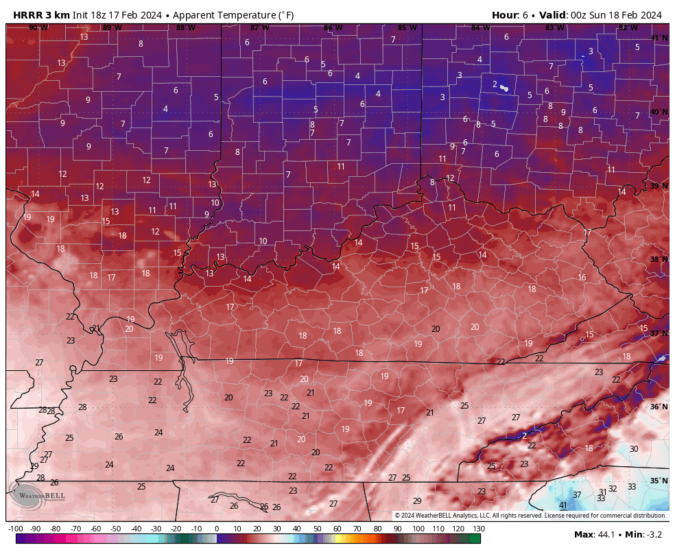
Good evening, folks. We are putting the wraps on a day where temps couldn’t get out of the 20s for most of the state with wind chills deep into the teens. After another frigid night, temps look to moderate once again before they go right back down.
Wind chills tonight are likely into the single digits for areas with snow on the ground. This animation from the HRRR goes from 7pm this evening through 7am Sunday…
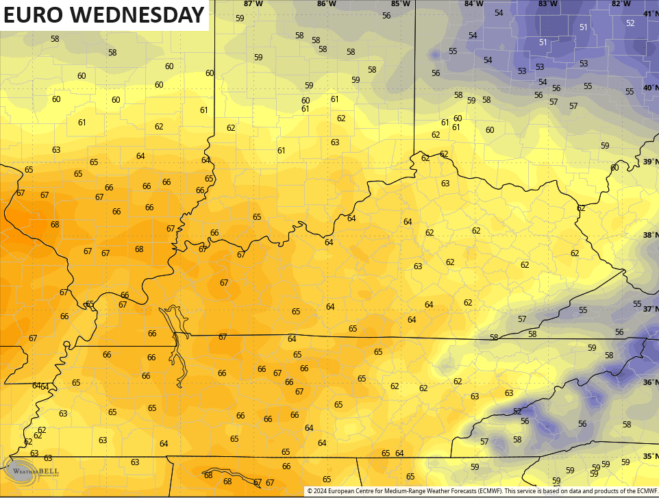
Sunday afternoon looks much better with some sun and temps in the 40s.
The numbers continue to climb Monday and Tuesday before we peak into the 60s on a strong southwest flow for Wednesday. Western Kentucky may make a run at 70…
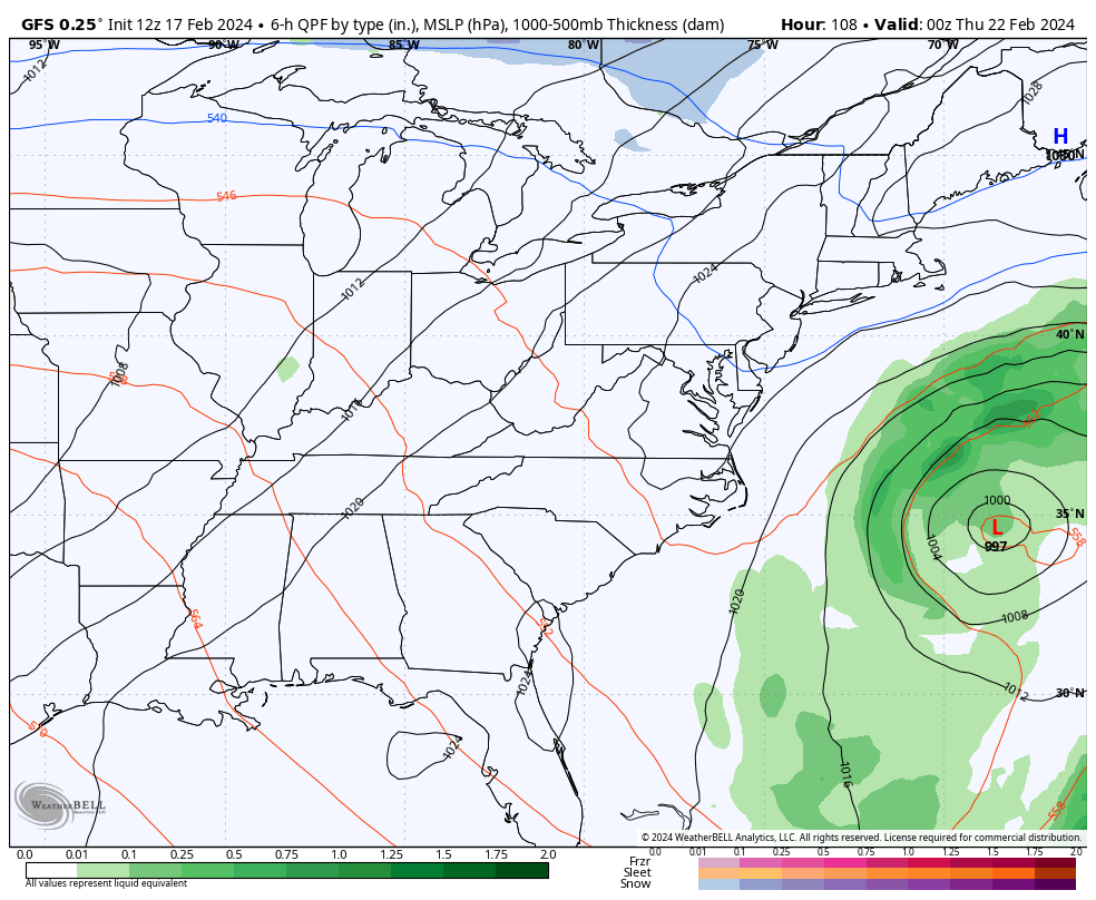
That’s ahead of low pressure moving through the region with showers and some thunder on Thursday. Another blast of cold and, maybe, some flakes crash in behind it by Friday into the start of next weekend…
Temps look to rebound quickly the following week with a big storm that may pass to our west, opening up the potential for strong thunderstorms and heavy rain to end February.
I don’t like the look of March as it’s one that can get us into some trouble on a few different fronts. Ugh.
Enjoy the evening and take care.

Thanks Chris. One of the deepest March snowstorms with the most perfect snow for making a snowman, or a snow fort occurred when I was 9 years old in 1960. In April, 1960 while in school, the afternoon sky turned green and was followed by the worse hail event I’ve ever seen. It destroyed cars in the school’s parking lot along with a lot of property damage in a widespread area. Yes, the month of March can display some very turbulent weather. A winter and spring battle.
Good evening to all.
I looked up the Pacific Decadal Oscillation for March and April 1960. The PDO reading for March 1960 was a weak positive reading of + 0.23 and April 1960 reading of + 0.21, so apparently a weak + PDO in an El Nino year caused the March 1960 snowstorm and the April 1960 hail storm. This year’s El Nino is a negative – 1.54, so we will see what happens next month and thereafter. I’m thinking now that it won’t be that stormy.