Good evening, folks. Our spring fling continues to do its thing across the Commonwealth with even milder air for Wednesday. This is followed by another drop in temps by the weekend before we go right back up early next week.
Temps on Wednesday spike into the low and middle 60s for many areas on a gusty southwest wind. That wind really cranks through Thursday as low pressure moves into the Ohio Valley. Gusts to 40mph may be possible…
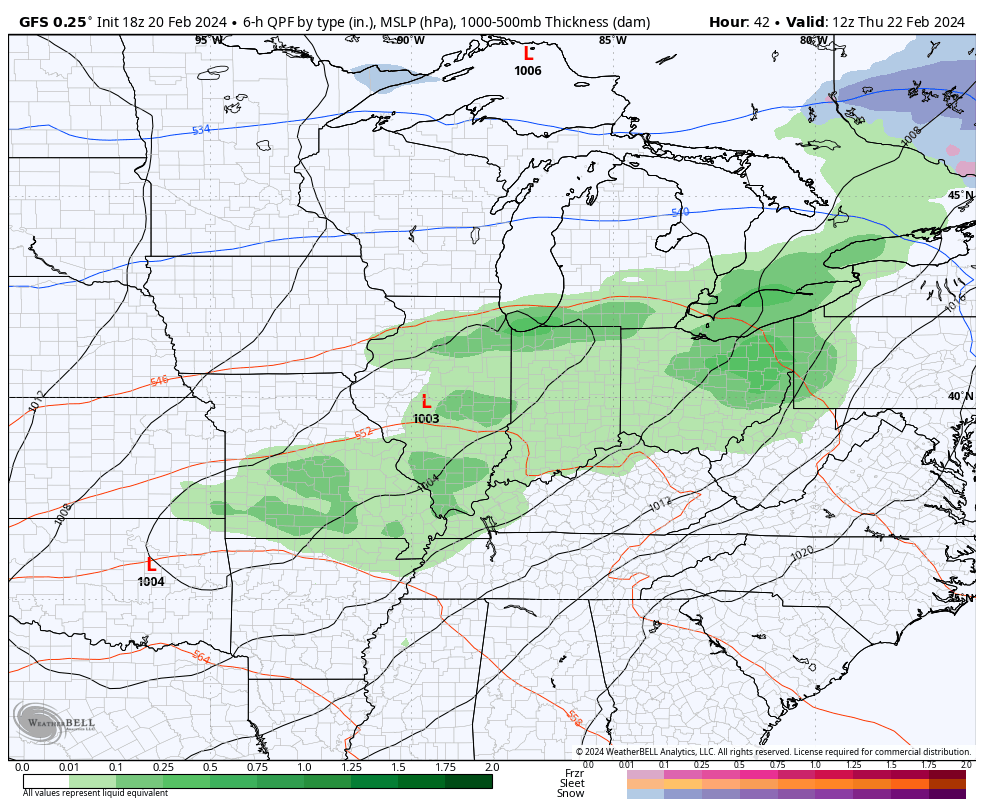
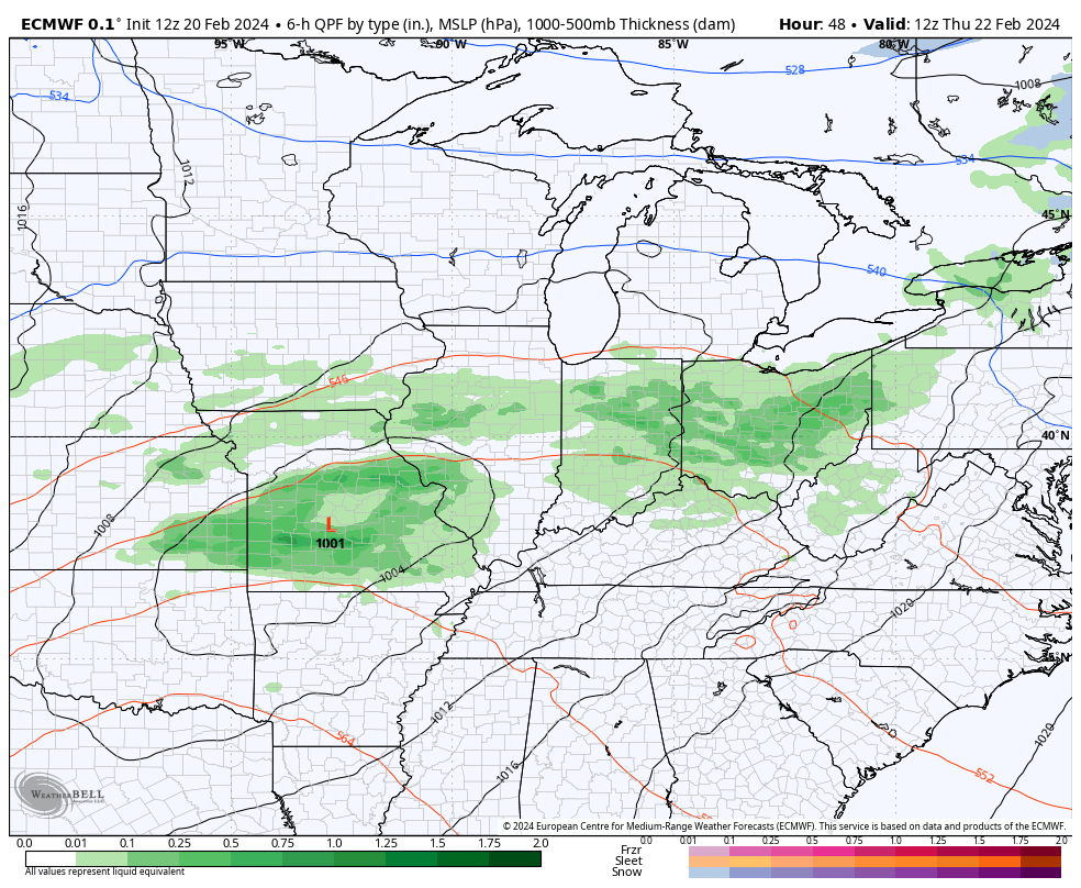
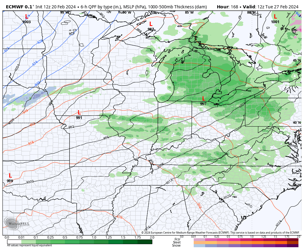
That low brings showers and a few thunderstorms in here for Thursday with colder winds set to follow that for the weekend. There’s even a clipper looking system that can bring some rain and snow showers in here for Saturday…
GFS
EURO
Watch this quick-hitting blast of cold that’s followed by another surge of well above normal temps…
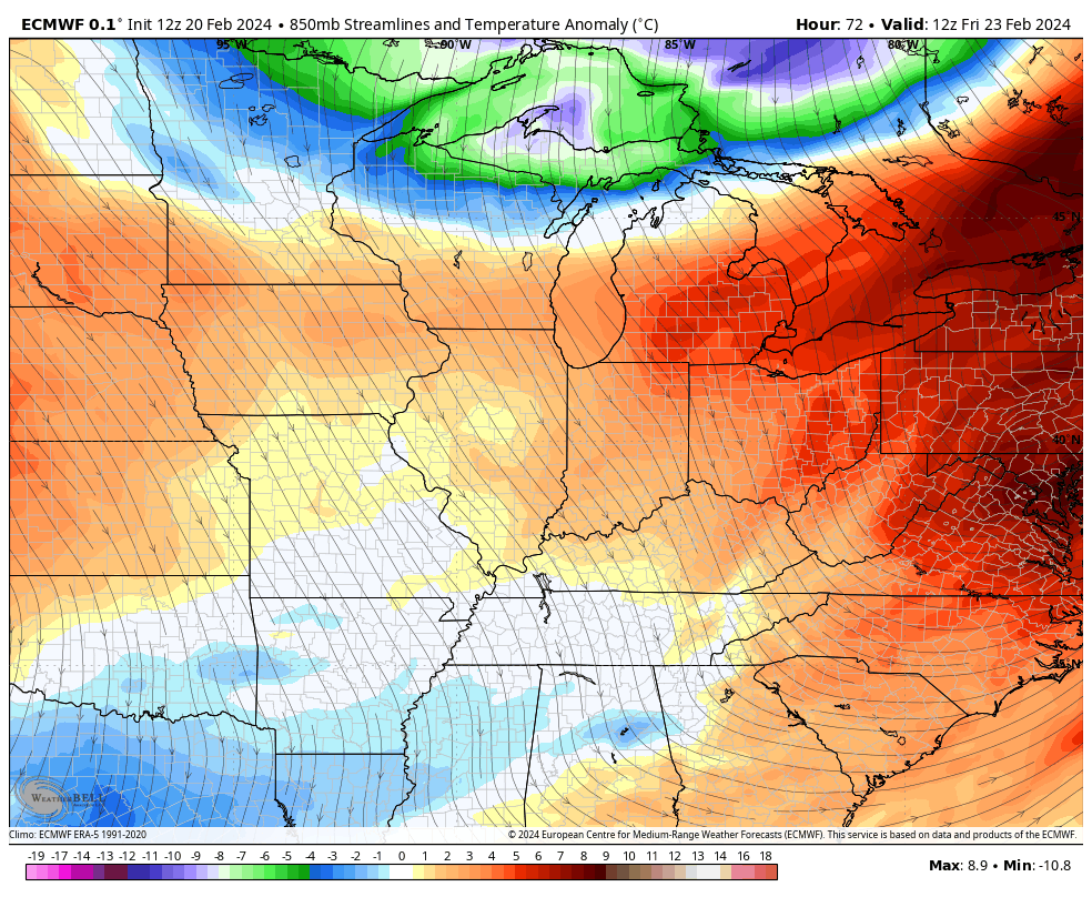
That mild spell may push temps toward 70 ahead of a strong cold front arriving by Wednesday. That may have potent thunderstorms along and ahead of it with temps that bounce down and bounce back right after that…
Enjoy the evening and take care.
