Good Wednesday to one and all. It’s an absolutely awesome weather day across Kentucky with a serious case of Spring Fever breaking out. This spring fling even comes with a few thunderstorms on Thursday before a quick-hitting blast of winter blows in to start the weekend.
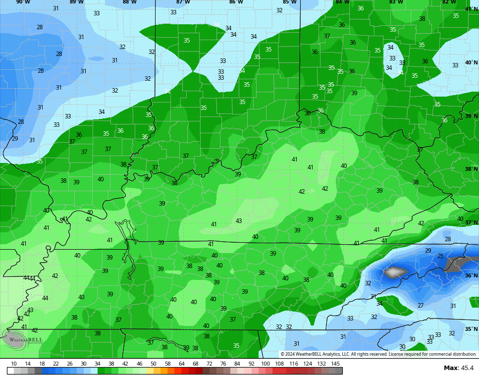
Highs today are deep into the 60s with a gusty southwest wind kicking in. Those gusts continue into Thursday as low pressure rolls through the Ohio Valley. A few gusts may approach 40mph…
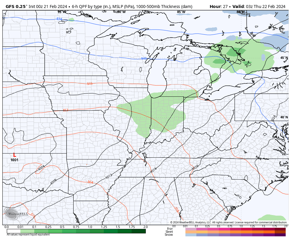
Showers and a few thunderstorms accompany our Thursday system with colder weather coming behind it late Friday into Saturday and there’s even the chance for a few snow showers…
Temps come way down right behind that front but the cold is in and out very quickly. Spring temps surge back in late Sunday into early next week. That’s when temps make a run into the mid and upper 60s and may even hit 70 during this time.
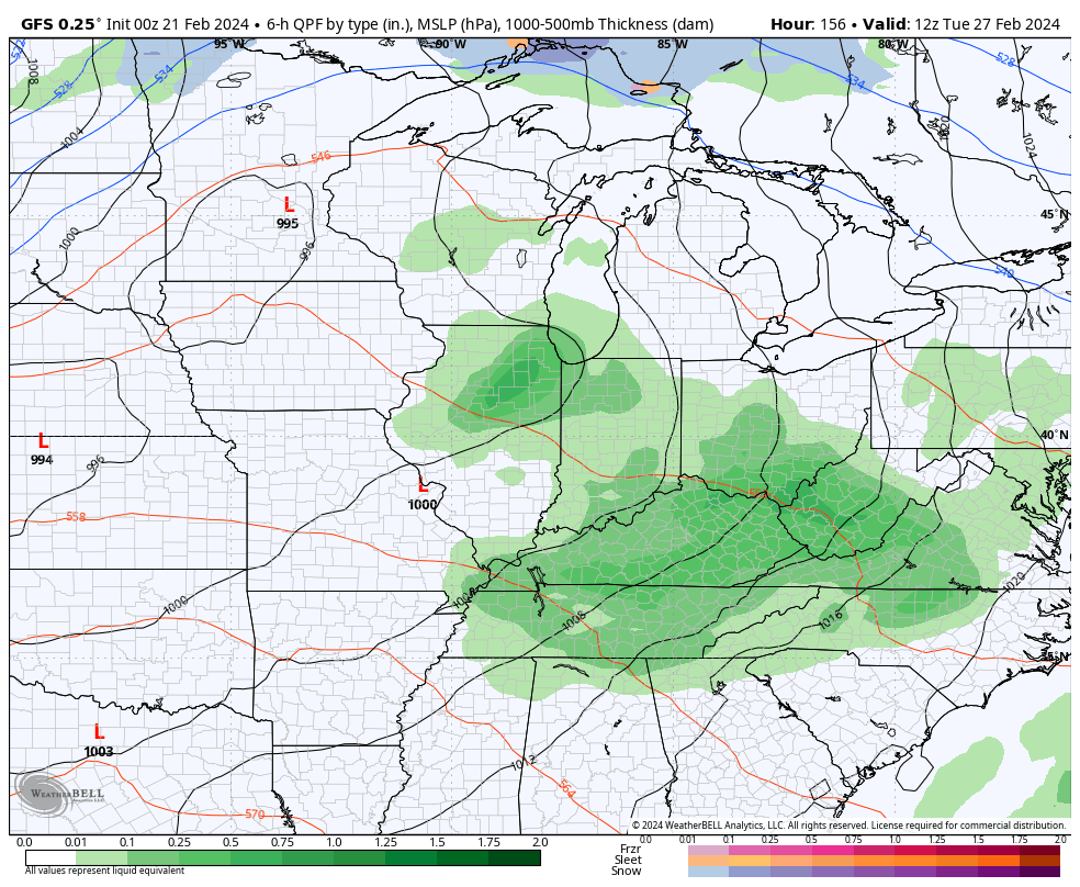
This push of mild air is ahead of a powerful storm system that zips from the Plains toward the Great Lakes. This drags a cold front in here with showers and the chance for strong thunderstorms late Tuesday and Wednesday. Much colder air crashes in behind that. There’s even a chance for a little winter weather and this is showing up on the GFS…
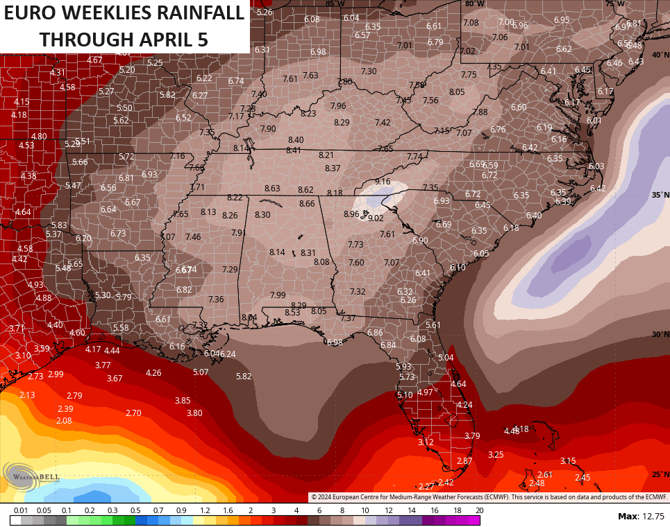
This active setup is very likely to continue through March and the extended range models are picking up on this. The average rainfall on the EURO Weeklies shows our region in the most active zone…
I will have another update later today. Make it a wonderful Wednesday and take care.

What happened to that prolonged winter period from mid-February well into March that was discussed on here for weeks? Seems like just the opposite has happened – lot more spring than winter.
Good question.
I’ve asked this on a post last week. I just wanted a weather explanation as to what happens. Most of us that are daily readers are here for more than just what a weather app can show us, and I love learning new things. I have wondered what changed to cause, like you said, basically the opposite of what was supposed to happen. Maybe we will get an explanation eventually.
My explanation is simple. We had an El Nino that was not reacting to the atmosphere to change the two jet streams, because the Pacific Decadal Oscillation was in the negative phase, which causes the other oscillations ( AO, NAO and EPO ) to be positive. The last El Nino winter 2014 – 15 started in a positive PDO, and resulted in a long cold period with at least 3 major snow events here in south central Kentucky.
I don’t think he reads the blog comments
The various computer models and ensembles really messed up in late January/early February predicting a colder than normal second half of February that supposedly would last into March. Here in the Chicago area, we have had a grand total of two days below normal this month, and now we are back to temps being close to 20 degrees above normal.
Our first 60-degree temps of the year will occur today. This February could very well be the warmest and least snowiest on record for Northern IL and the Chicago area.
We had about 5 inches of snow in January with very cold temperatures for about a week. That’s it for winter 2023 – 24. Next winter 2024 – 25 may be another dud for Kentucky, as La Nina will be dominating.
U I agree, the last La Nina winter a few years back we got a total of 0.9″ of Snow, not much to look forward too for snow lovers, Looks like the snow becomes less and less .may beca day when me future grandkids will have to google snow in Ky to get a glimpse of what it was like. I hope not, hoping just a trend that will equal out with snowy years as nature usually does with her balance.
Nature always balances out in both temperature and precipitation.
We pretty much all now know you can’t trust long range models… I mean, the exact opposite of what they said would happen happened. They are fun to look at though.
Can’t argue with that Mark. They are fun to look at.
Last winter Richmond got about 7″ of snow and that is being generous. This winter about 10″. Though very wimpy, it is about 3″ better than last winter. Sad stuff for snow fans though!