Good evening, folks. After a brief brush with winter, spring is ready to take control again on Sunday as mild temps surge right back in. This mild air will be accompanied by the threat for severe storms late Tuesday into Wednesday.
Temps on Sunday reach the 50s in the east and the 60s in the west. This southwest wind then kicks in even more on Monday with temps deep into the 60s and the chance for 70 in the west. Many areas make a run at 70 on Tuesday.
Low pressure develops and rides from the Plains to the Great Lakes and drags a cold front into the region on Wednesday. This front has very cold air coming in behind it and should be able to fire off rounds of strong to severe storms. Once it blows through, a quick-hitting blast of winter will be possible.
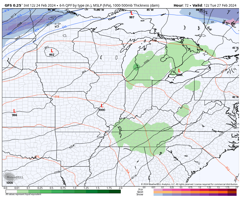
Here’s how the GFS sees it…
The Storm Prediction Center continues to watch the Tuesday severe threat in western Kentucky…

That risk focuses farther east into Kentucky on Wednesday…

The back-and-forth pattern looks to continue into March, and it can get us into trouble as spring slowly flexes more and more.
Enjoy the rest of the day and take care.

Thanks Chris. I and my weather friends have been chatting off and on about the possible severe weather for Wednesday. I think in time there may be watches and warnings issued this Wednesday ? We are definitely in the spring mode after a very disappointing winter without much snow. Lets all forget about winter and focus on spring and summer. Okay.
Have a good evening everyone !
I can see a snow surprise before April.
Oh Jeff I hope so then I will move on to spring and summer. I keep hearing about the possible severe storms that are coming next week.
Always that possibility, but not likely to occur this year.
A major snowstorm is not likely this year is what meant. Severe weather more likely now through June.