Good evening, folks. Much better weather surged into the region today and this kicks off a very spring-like start to the new week. This is complete with 70 degree temps and the threat for a few strong or severe storms.
The overall timeline of our mid-week system is speeding up just a bit. This means Tuesday into Tuesday night will bring the best chance for strong to severe storms for parts of the area. A quick blast of winter then sweeps across the state behind the Wednesday cold front.
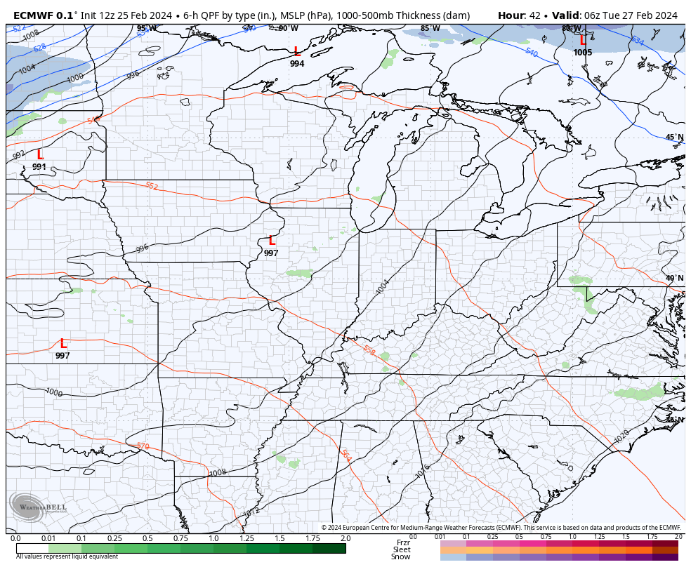
The EURO has had a pretty good handle on this timeline…
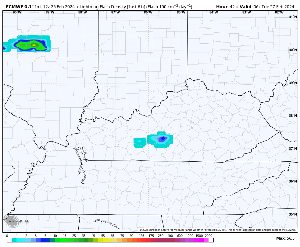
The same model run is showing quite a bit of lightning sweeping across the state Tuesday into Wednesday…
The Storm Prediction Center is adjusting toward this faster arrival time and upping the Tuesday severe weather potential from prior runs…

On the flip side, the Wednesday threat is much lower due to the faster front…

Another system can bring some rain in here to start the upcoming weekend as temps quickly rebound. That rebound is ahead of another potent storm arriving early the following week.
Enjoy the evening and take care.
