Good Tuesday, everyone. We have a very active pattern today into Wednesday as a powerful storm system impacts our region. A few strong to severe storms, high winds and a major temp crash highlight this two-day run of busy weather.
Here’s a breakdown:
TODAY
- A few thunderstorms will be rumbling out there this morning and could be strong or, locally, severe.
- Large hail is the primary player with these storms.
- A storm or two will then be possible this afternoon.
- Winds crank and may flirt with 40mph during the afternoon.
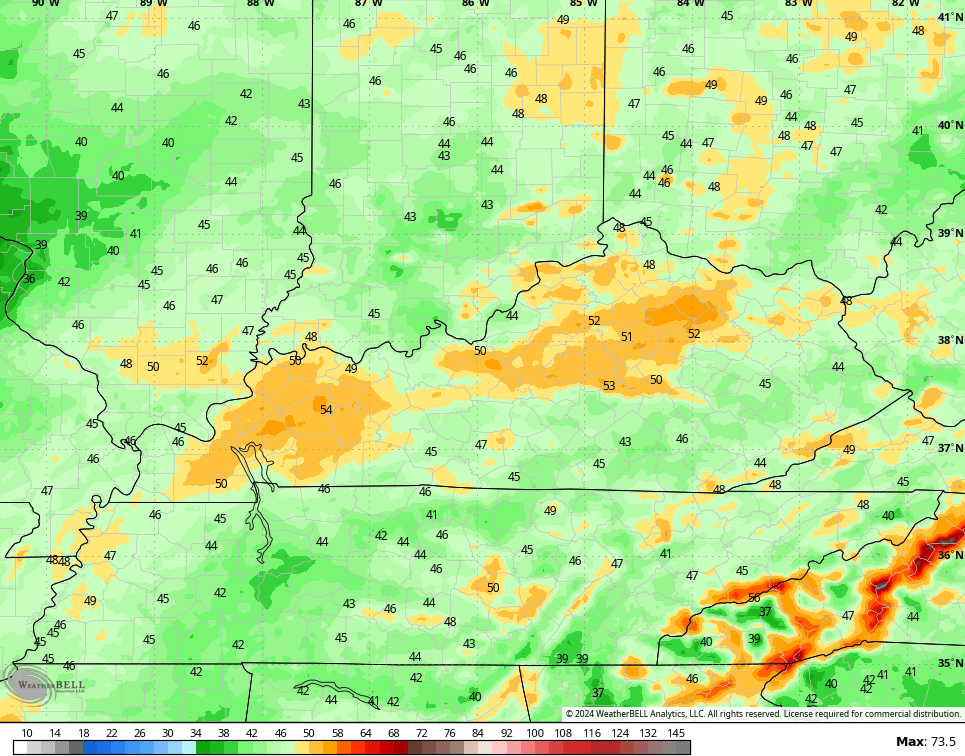
- Highs hit the 65-70 degree range for many.
TONIGHT
- Winds are very gusty and may push 45-50mph at times.
- Thunderstorms approach from the northwest into the wee hours.
- A line of strong to severe storms races in from the northwest late tonight.
- Damaging winds, large hail and even a few tornadoes are possible.
- The best chance for severe storms is across western and central Kentucky.
WEDNESDAY
- A squall line of thunderstorms moves through central and eastern Kentucky very early.
- Winds are still a player with gusts to 40mph possible early.
- Temps ahead of the front are in the mid 60s. Temps behind the front quickly drop into the 30s.
- Wind chills will drop into the 20s and likely stay there.
- There’s even the chance for a brief period of sleet or snowflakes as the temps crash.
Here’s today’s Severe Weather Outlook from the Storm Prediction Center…

Here’s a look at the individual severe threats out there today…


The overall threat level comes down for Wednesday…

With our without thunderstorms, gusty winds are a problem. Gusts of 40mph-50mph will be possible at times, especially late today and tonight. A few of the models have some 50mph+ gusts…
Rainfall numbers for some may push close to 2″ through early Wednesday.
Thursday is a seasonably chilly day with some sunshine. Enjoy the sun because another shower maker rolls in for Friday and early Saturday. That’s being pushed by yet another surge of serious springtime temps that push numbers toward 70 by Sunday and Monday. Winds will be gusty ahead of another threat for big storms arriving by late Tuesday or Wednesday.
As always, I have you guys all set to do some Tuesday storm tracking…

Current watches

Possible Watch Areas

Another update comes your way later today. Until then, make it a great day and take care.

We are not done with winter yet.
Of course winter is not over until March 19th, but winter weather may be for the most part.
Yep you still cannot rule out festive flakes.
Always that chance that ‘old man winter ‘ will win a few rounds.
Shots of cool temps – that’s OK. It would be helpful if we could avoid killing freezes. However, all we do is wait and watch. I harrowed a couple acres yesterday and put down 200 pounds of seed (then harrowed again). These upcoming rain events will be perfect.
We been receiving very much needed rain / showers this morning. Hoping the severe weather is not that severe, and the spring freezes may take the bloom away, but not the plant’s life.
Thanks Chris. Sounds dangerous, especially to my west and north. I hope everyone has a way to be warned.
Until then have a great day !
It hit 71 degrees Monday at Chicago’s O’Hare Airport and the NWS Forecast Office in the SW Suburbs, smashing the previous record high for the date of 64 set in 2000.
Today’s predicted highs of 76-77 degrees would break not only the record high for the date, it would also break the all-time record high for the month of February of 75 degrees set on this date in 1976.
The Chicago area and Northern IL are in the slight risk of severe weather for tonight. Large. destructive hail is the main concern.
Temperatures will plunge after the cold front moves through around midnight. By 3 AM Wednesday, temps are expected to be in the 20s here with a strong NW wind producing a wind chill of below zero, with snow falling which could accumulate!
Going from highs well in the 70s to a wind chill below zero in less than a 12-hour time frame is one heck of a roller coaster ride! Finally some exciting weather after a mostly boring winter.
I don’t think it will be that extreme here. Looks like early tomorrow morning will be our chance for severe weather. Hoping it stays cloudy all day to stabilize the air. Yesterday’s high was just under 70 degrees here in Maple. Plants are barely out of dormancy here in the hills. I notice this morning my Rhododendron catawba was greening up. It has several buds and I hope the freezes this spring doesn’t destroy the blooms.