Good Wednesday, everyone. Strong to severe storms are quickly pushing across the state early today as cold air crashes in. This cold air doesn’t hang out long because another big push of spring temps surges in for the start of March.
Let’s start with a breakdown of today:
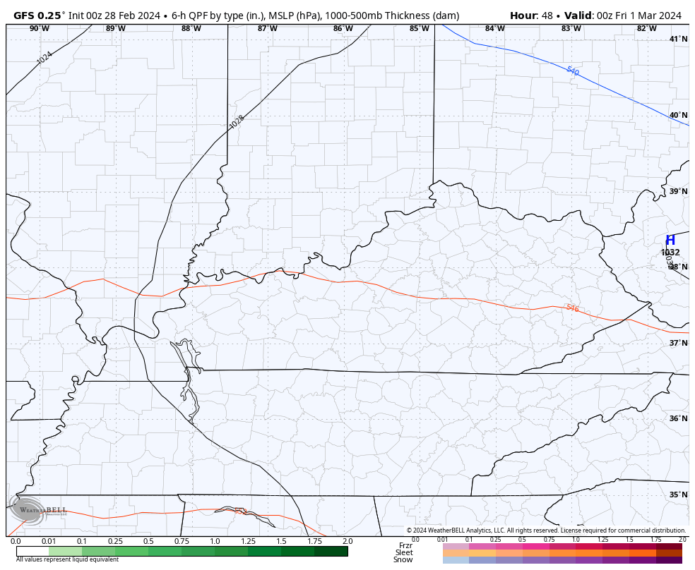
- A line of strong to severe storms moves across the state from the wee hours through the middle of the morning.
- Damaging winds, large hail and an isolated tornado will be possible with this line.
- Even without thunderstorms, winds are a big player with gusts that map reach 40mph-50mph.
- Temps ahead of the front are 65-70 to start the day with temps crashing into the 30s right behind the boundary. That’s a 30 degree drop in a few hours.
- There’s the small chance for a few flakes or pellets of sleet to show up on the back edge of the departing rain shield.
- Some sunshine shows up from west to east this afternoon with temps rebounding a bit.
Thursday is a clam day with another shower maker moving in for Friday…
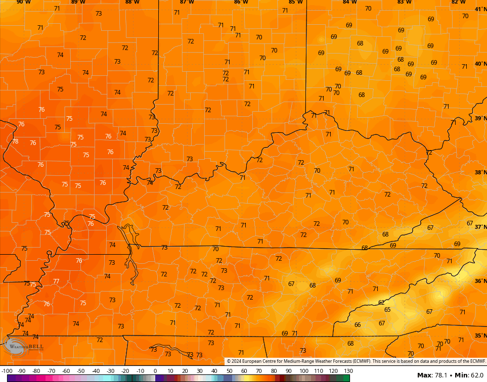
Temps surge into the 60s on Saturday and flirt with 70 Sunday. 70-75 highs will be possible by Monday and Tuesday…
This is ahead of another potent storm system that can bring more in the way of strong storms to the region.
Updates come your way later today. Until then, I have your tracking tools to follow the early day severe storms threat…

Current watches

Possible Watch Areas

Enjoy the day and take care.

There were numerous tornado touchdowns in the Western Suburbs of Chicago Tuesday evening with considerable wind damage in the W and NW suburbs from the severe storms.
Where I am in the SW Suburbs, we were on the extreme southern part of the line of severe thunderstorms that reached all the way north to the Wisconsin border. We experienced thunder and lightning, but no rain or wind, and really lucked out.
It’s now 31 degrees here with a wind chill in the teens, but the snow that was expected never materialized. This after the high reached 74 at O’Hare Airport on Tuesday, just missing the all-time record high for the month by one degree. It was the first time Chicago has ever experienced back-to-back days of 70+ degree temps in February.
No wonder we had this major severe weather outbreak!
I see on radar a narrow line of severe storms reaching from the SW to the NE slamming through KY this early morning, along with numerous Severe Thunderstorm Warnings.
Mike, you were very lucky, because there are numerous reports of tornadoes in the Chicago area. Also reports of hail. Glad your area escaped the wrath of the storm. Back to cold now for a short period. It’s been a very quiet night here in Maple. Just started raining here with a temperature of 67 degrees. I think it will be a short blow with temperatures falling into the 30’s later this evening. A week from today it will do it again.
I guess we’ll see if it frosts in May.
Latest frost I’ve seen was in June in the early 1990’s. Crippled the corn crop that year in Indiana.
I’ve recorded 0.50″ of rain overnight, a wind gust of 29mph, and the temperature is currently 44°F, after dropping 26°F in an hour and a half.
Recorded 0.75 inches in the past 48 hours. Front blew through my area early this morning without much fanfare. Now we have a cold night and early morning Thursday down in the low 20’s.
Storm reports from last night :
https://weatherstreet.com/weather-forecast/storm-reports.htm
I think my part of Fayette was the bullseye for heavy rain….almost 2 inches
I just now hear the thunder . It’s on my doorstep. Looks like a nasty line on radar but doesn’t look like it lasts too long and will move out pretty quickly. Did anyone get very bad wind with it?? I think I will postpone all my errands till tomorrow. ( I was looking for an excuse anyway) lol
Wind was light to moderate here in south central Kentucky. Most of the impact from late last night /early morning storm was along and north of the Ohio River. The strong ridging to our southeast weakened the line of storms to some extent. Same thing may happen next week ?
The GFS continues to remain mild for the month of March as a whole – a lot driven by the first two weeks of the month averaging out much warmer than normal!
Keep in mind though that normal last frost/freeze dates don’t happen for a while, and the April forecast will likely be more important in nailing down those risks.