Good evening, folks. It was a wicked severe weather event across the region to start the day, but colder winds are bringing in some calm to end it. This cold wind isn’t ready to put down roots in the region as another big spring surge comes in this weekend.
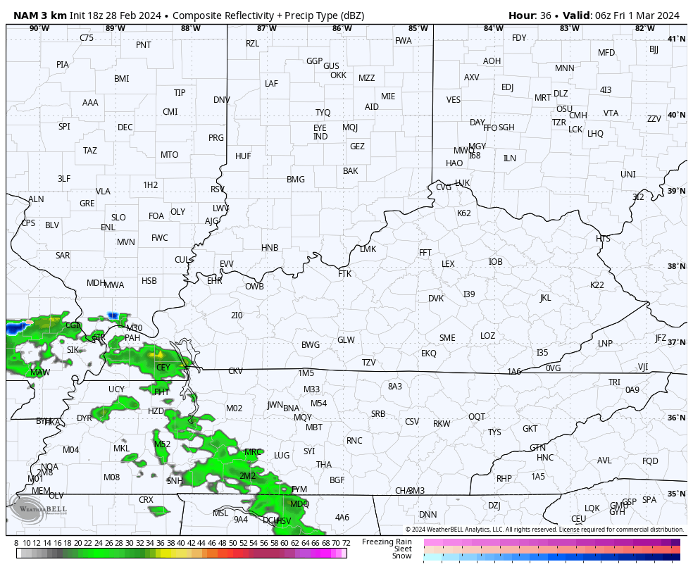
Temps tonight are deep into the 20s with highs in the 40s for Thursday. Some clouds increase on the final day of February with chilly showers moving in for the first day of March on Friday…
Temps may struggle to get to the 50 degree mark in many areas.
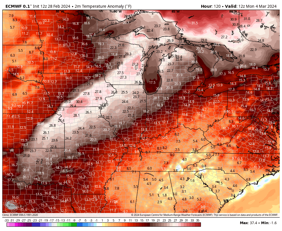
Temps from there start to take off with 65-70 back in town by Sunday with 70-75 early next week. That’s ahead of another active setup with multiple systems likely impacting our region from Tuesday through the following weekend…
That’s another setup with temps much above normal…
This active setup can get us into more trouble and we need to be on guard for more severe storms and heavy rain.
Enjoy the evening and take care.
