Good evening, folks. Rounds of showers and thunderstorms continue to roll across Kentucky and this is a sign of things to come. This wet weather takes us into Wednesday with another big system waiting in the wings for the upcoming weekend.
Some areas have already picked up a half to one inch of rain today with more on the way through Wednesday. That comes as low pressure spins across the Tennessee Valley, throwing steady rains across the area.
Some of us can pick up another half to one inch of rain, especially in the east.
Here are your radars to follow the evening action…

Rain tapers off from northwest to southeast Wednesday afternoon and evening, leaving us with better weather for Thursday. Let’s enjoy this dry day because more showers and storms mov in by Friday as a potent storm system rumbles in from the southwest.
This low spins right on top of us Saturday with widespread rain and gusty winds…
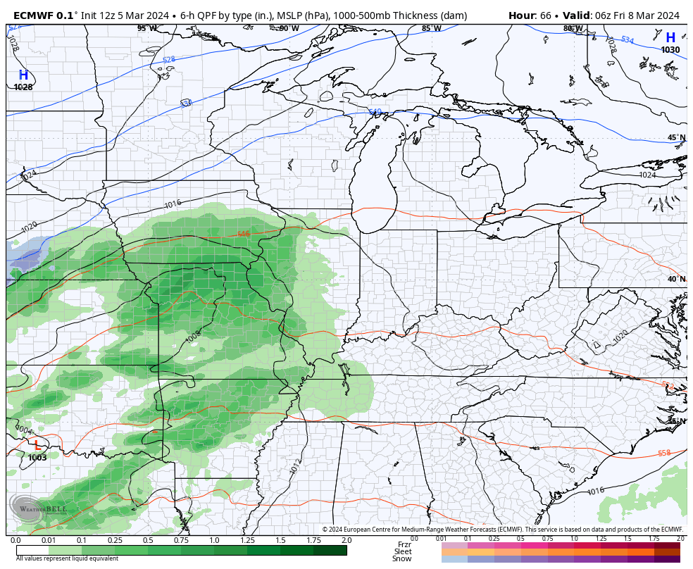
Another inch of rain is possible from that system.
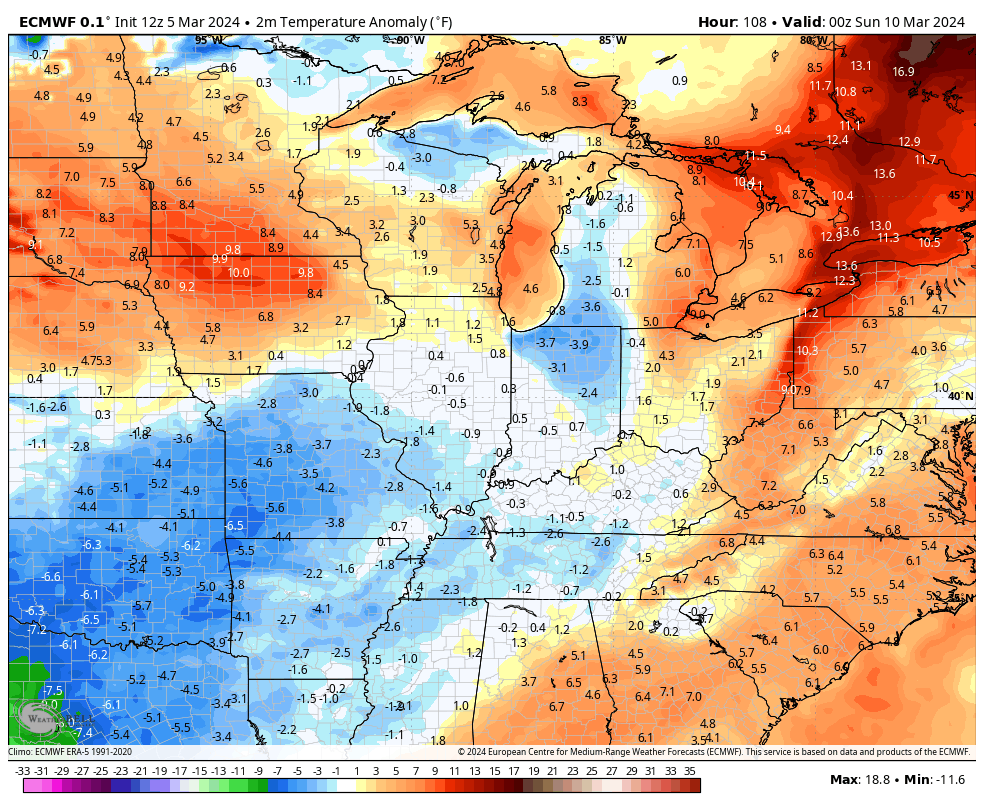
Colder temps come in behind this for Sunday and early Monday with another big surge in above normal temps for the middle and end of next week…
Enjoy your wet evening and take care.
