Good evening, everyone. It’s another wet day we are wrapping up across much of the state as low pressure slowly pulls away. While we get a break on Thursday, another low looks to bring some more ugly to the region to start the upcoming weekend.
Showers continue to wind down this evening across the eastern half of the state and you can follow those out of the state with our Kentucky radars…

Clouds linger into Thursday with some late day breaks possible as temps reach the 50s.
The next system then moves in with scattered showers and storms rolling through for Friday with temps reaching 60-65 for many. Low pressure then moves in Friday night and Saturday with more in the way of showers and storms. Colder winds then crash in late Saturday into Sunday with a small chance for a leftover rain or snow shower.
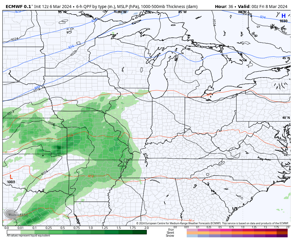
The Canadian has the low tracking just to our west, meaning a better chance for Saturday thunder…
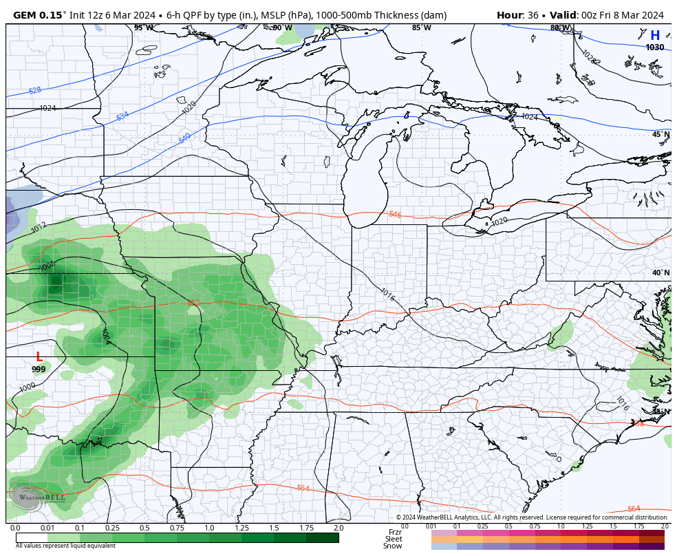
The EURO is farther south with the track of the low and would just mean widespread rain with little thunder…
That’s a quick-hitting shot of colder than normal temps for Sunday and early Monday with above normal numbers surging back in behind that. emps may hit 70 next week ahead of what looks like a much stronger push of mid-March cold.
Check out this trough coming in on the EURO ENSEMBLES…
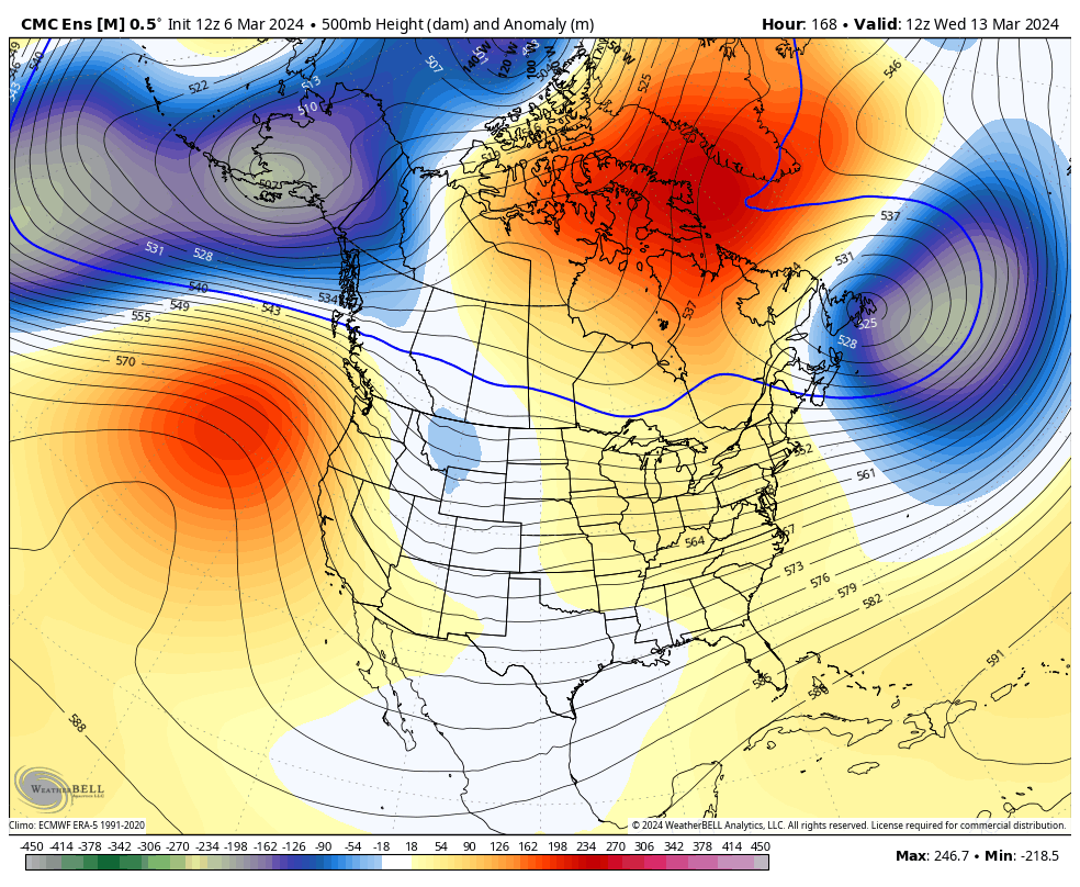
Ugh.
Enjoy the evening and take care.
