Good evening, folks. We are rolling into the weekend with all kinds of showers and some thunderstorms rolling into Kentucky. This is ahead of low pressure that will bring a quick-hitting blast of cold behind for the last half of the weekend.
There’s not much more I can say about your Friday evening other than it’s damp. Follow the increasing rains on our Kentucky radars…

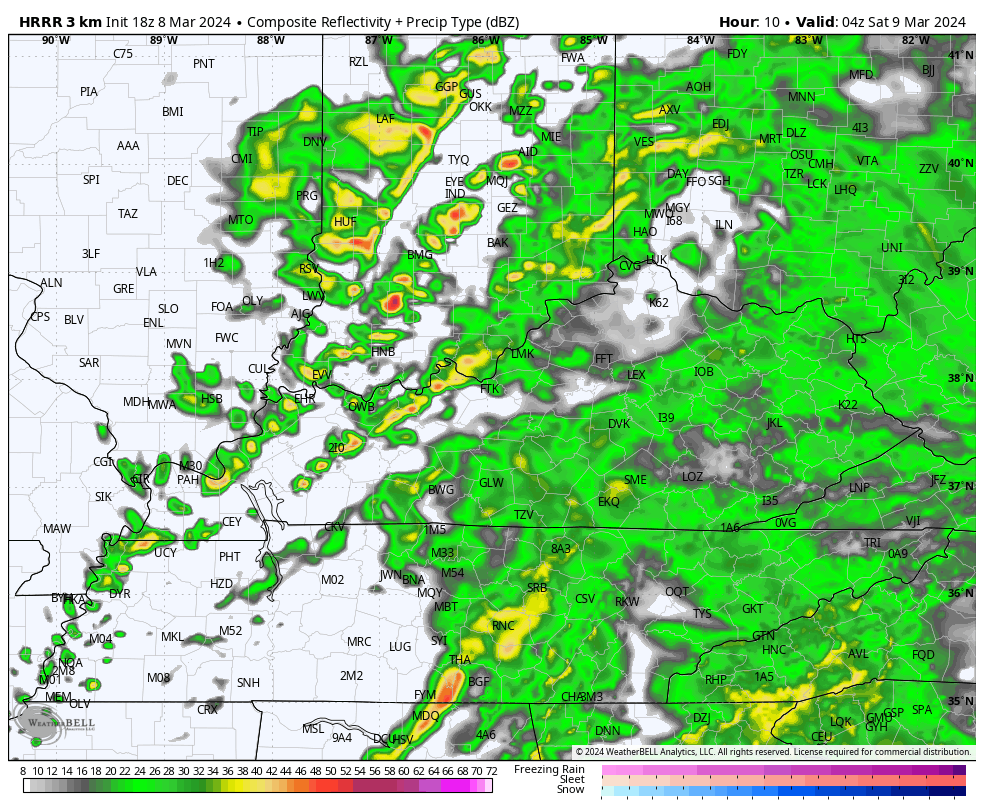
Showers and early day storms will be common across central and eastern Kentucky overnight into the first half of Saturday. By the afternoon, showers become more scattered as colder northwest winds kick in. Those may very well spit out a few snow flurries or snow showers Saturday night and early Sunday with the best chance across the north and east.
The future radar from the HRRR shows all this well. This animation goes runs from 11pm this evening through 2pm Sunday…
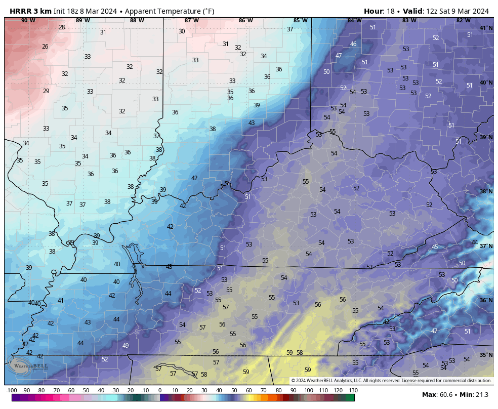
Saturday morning temps start in the 50s then quickly drop into the 40s during the afternoon. Lows by Sunday morning hit the mid and upper 20s. Gusty winds will make it feel much colder. Check out the wind chills from 7am Saturday through 8am Sunday…
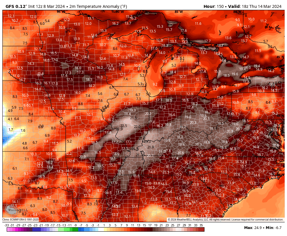
This cold blast is in and out with temps going much above normal for much of next week. Highs around 70 will be possible before another big storm system ushers in colder temps later next weekend…
This temp flip could be accompanied by a lot of rain and some storms.
Enjoy the evening and take care.
