Good evening, folks. It’s a cold wind blowing as we wrap up the weekend. This wind turns much milder over the next few days as we flip the pattern back to spring for the week ahead. Don’t get used to it because we flip it again next weekend.
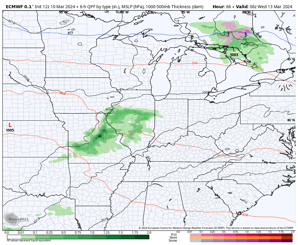
Temps bounce back on Monday before going well above normal from Tuesday through Friday. I can’t rule out a scattered shower or storm by late Tuesday or early Wednesday, but the best chance for showers and storms rolls in by the end of the week. That’s when low pressure works through the region.
Here’s the EURO…
This sets the stage for a pattern change by late next weekend into early the following week as the jet stream takes a big dip into the eastern half of the country. This may be accompanied by a storm system on the leading edge of it.
There’s the chance for some winter weather to show up during this time with the EURO having the ugliest look…
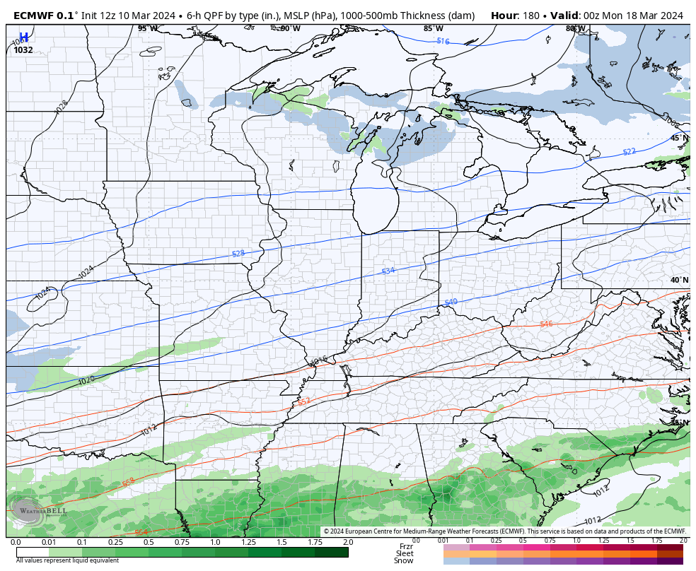
UGH.
Enjoy the rest of your evening and take care.
