Good evening, folks. Our temps are in the process of rebounding and will really take off in the coming days. This comes ahead of a pretty active setup that looks to take us back into a pattern more reminiscent of winter than spring.
Temps climb into the 60s the next few days with 70-75 for Thursday. There’s still the chance for scattered showers and storms rolling in here Wednesday and Thursday with the EURO being the most aggressive…
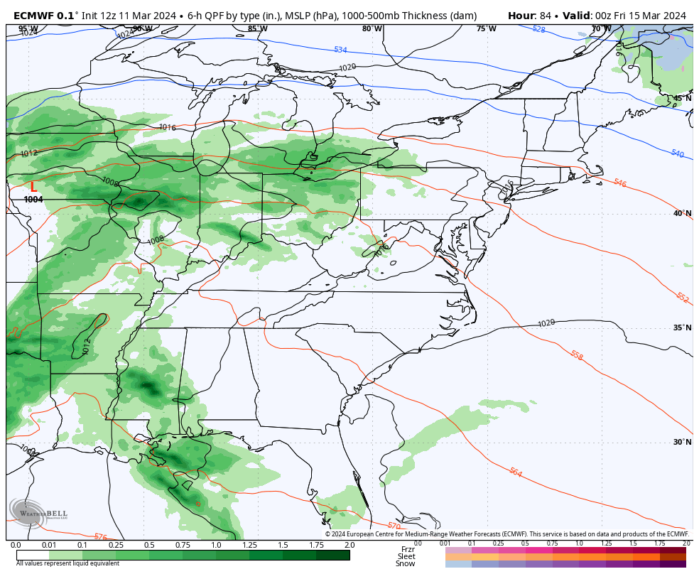
The bigger system arrives Friday with showers and thunderstorms. This blows through here with temps coming down a bit behind it for the weekend. That’s followed up by a much bigger push of cold air dropping in by early next week. This may be accompanied by a little winter weather.
The models go back and forth on the evolution of this, but they agree on the winter look. Here’s the latest EURO…
The ensembles continue to advertise this rather ugly late March pattern. Watch these troughs dig in…
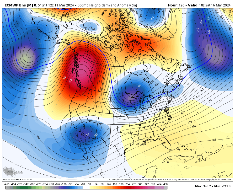
Where was that look a few months ago?
Enjoy the evening and take care.
