Good Tuesday, folks. It’s a super-duper awesome weather day taking shape across the region as spring does its thing. Looking down the weather road, we find stormy changes showing up with much colder weather to follow.
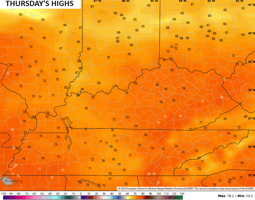
Today is a nice one with temps reaching the 60s for the entire region. Enjoy!
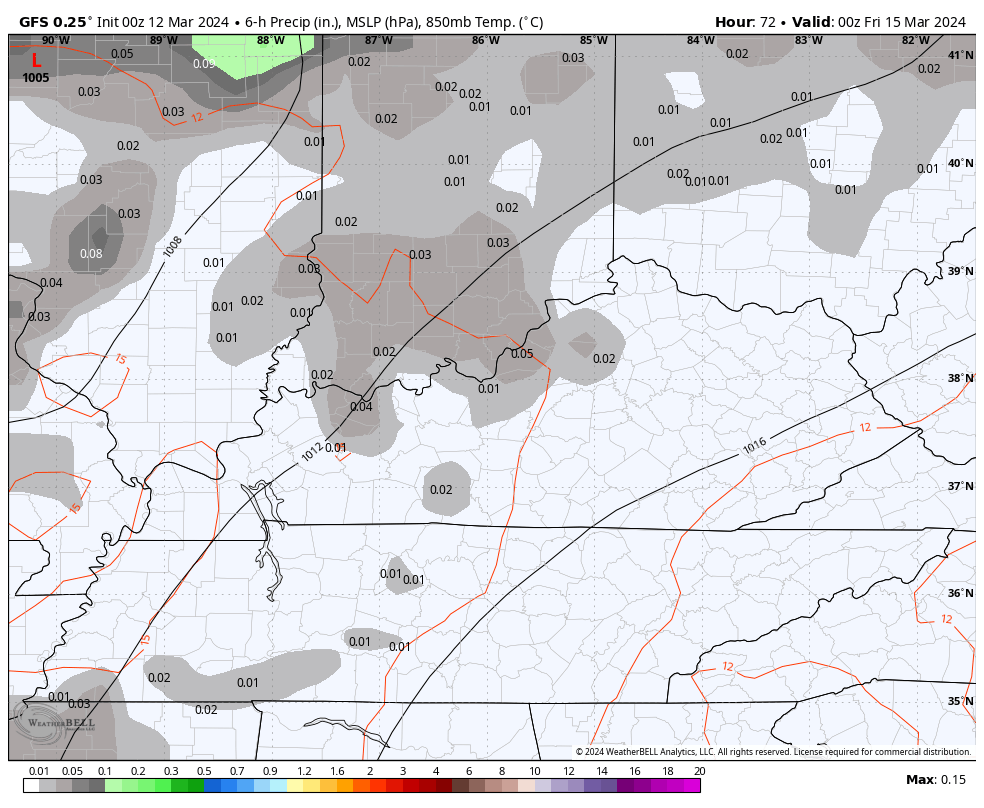
There’s the threat for isolated showers and storms to go up starting Wednesday and going into Thursday, but this doesn’t look widespread. It does bring even milder air in here for Thursday with 70s showing up…
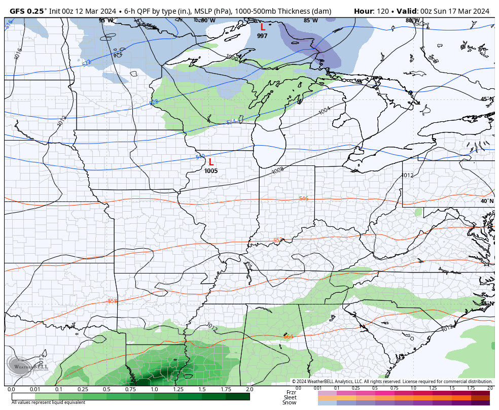
Low pressure then works toward the region Friday and brings showers and storms across Kentucky…
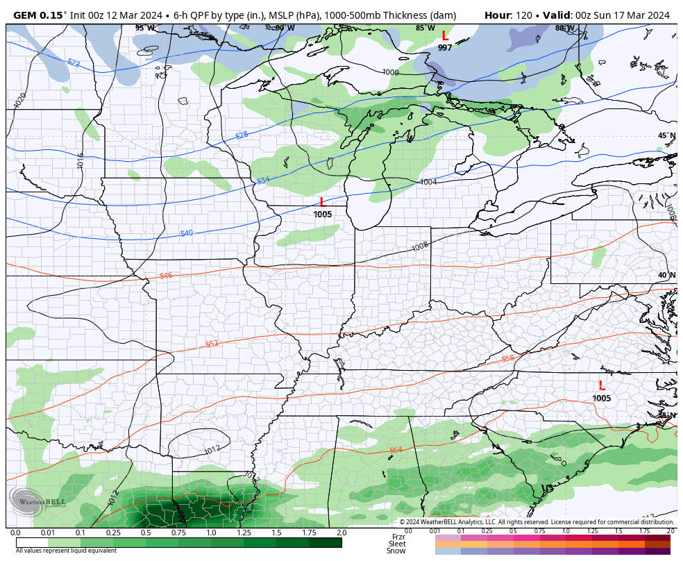
That blows through fairly quickly with decent weather behind it for Saturday and part of Sunday. Another system then moves through late this weekend and early next week. This one brings in a much colder pattern and may even touch off a little winter weather.
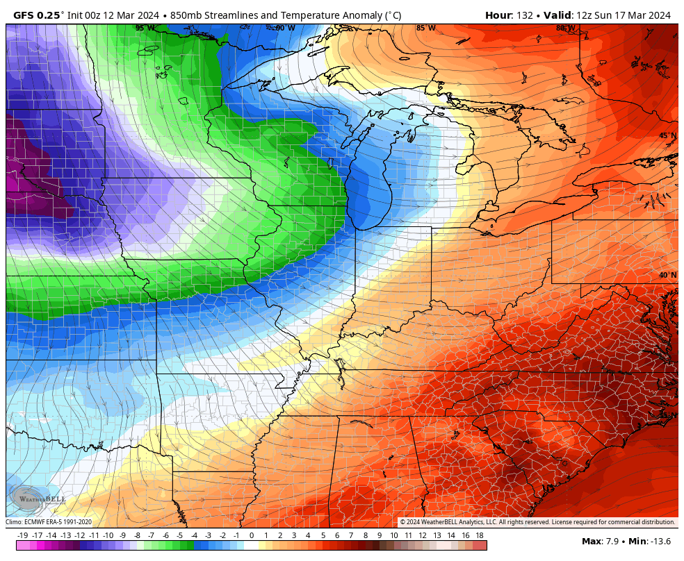
Here’s the GFS…
And the Canadian…
That’s a nice blast of barney colors coming in behind it…
Another one appears to be in the making a few days later…

I’ll drop by for another update later today. Make it a good one and take care.

Any cold won’t last.
No it won’t last. Skip the ensembles.
I see a pattern of festive flakes mixed with Bradford PearTree blooms.
Bradford pear is blooming now in your area, and I doubt there will be any festive flakes.
Thanks Chris for the update. Enjoy the day.
31 years since the storm of the century
I wasn’t living in Kentucky then, but I heard and read that the blizzard then was worse than the one that occurred January 1978.
Remember the 93 storm well as a kid, had no idea how rare it’d be.