Good evening, folks. We are putting the wraps on another awesome weather day across the fine Commonwealth of Kentucky. This mild air has a few more days left in the tank before the temps actually start to tank.
Highs Wednesday reach the 65-70 degree mark for many with just a slight chance for a shower or storm to go up. Temps for Thursday likely reach 70-75 for many on a strong southwest wind. This is ahead of a storm system coming at us from the west.
This likely fires off strong to severe storms to our west Thursday and there’s the chance for a few of those to get into western Kentucky Thursday night. The Storm Prediction Center has a low end risk for severe storms in that part of the state…

Showers and a few strong storms then move across the rest of the state on Friday…
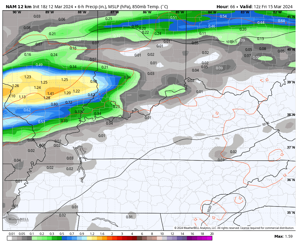
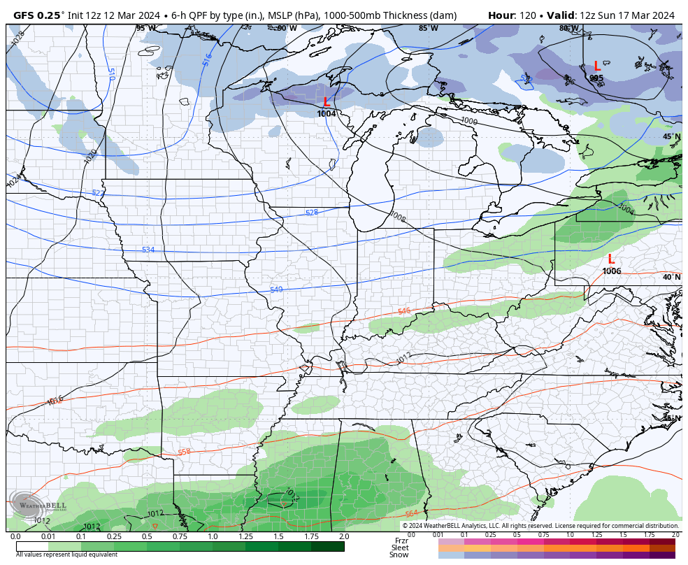
Locally heavy rains will be likely as the system moves through. Winds look gusty as better weather blows in for Saturday and early Sunday. That nice weather is ahead of a powerful cold front dropping in here on Sunday. That may have a rain shower in front of it and may also spit out some flakes behind it on Monday…
Nooooooooooooooooooooooooooooooo!
Enjoy the evening and take care.
