Good Thursday to one and all. It’s a day straight out of May with temps that are deep into the 70s. This May air is about to be replaced by cooler air, then much colder air once into early next week. This transition means the chance for a few strong to severe storms will be with us tonight.
Temps today reach 75-80 degrees in many areas as a strong southwest wind continues. This is ahead of low pressure rolling toward the Great Lakes. This drags a cold front into the region with showers and thunderstorms along and ahead of it.
A few storms may impact northern Kentucky as early as this afternoon.
A line of showers and storms may then steam across Kentucky from west to east late this evening into the wee hours of Friday morning. That would then be followed by scattered showers and gusty winds Friday.
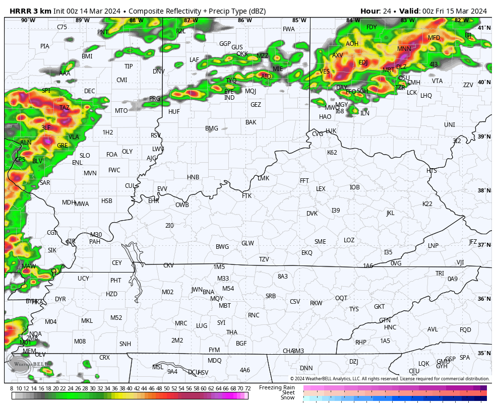
The Future Radar from the HRRR shows all this. Our animation starts at 8pm this evening and goes through 8pm Friday…
Here’s today’s Severe Weather Outlook from the Storm Prediction Center…

The individual threats from the Storm Prediction Center for this same time period…


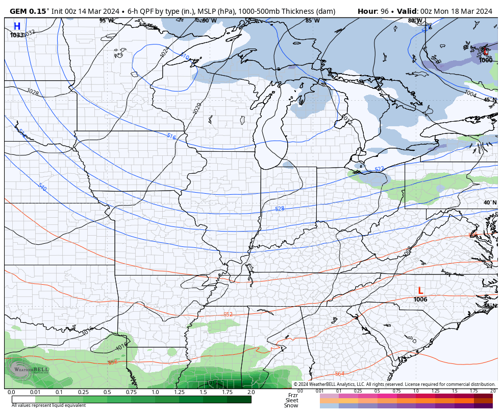
Temps come down on Saturday as nice weather returns. This is ahead of a potent cold front dropping into the region late Sunday, but this has very little moisture with it. Cold air pours in behind this for Monday with the chance for a few flakes to fly in the north and east…
I’ll have another update later today. Until then, here are your storm tracking tools for the day…

Current watches

Possible Watch Areas

Enjoy the day and take care.
