Good Sunday and Happy St. Patrick’s Day, everyone. A powerful cold front is moving through the state today and it’s unleashing a significant cold blast for the next few days. This is the beginning of a pattern featuring some wild swings over the next few weeks. These swings can get us into some trouble.
Temps today bounce into the low and middle 50s before slowly dropping from north to south late this afternoon as the front moves through. Winds look gusty but our skies are mainly dry as this front just doesn’t have much moisture to work with.
The cold is the main story…
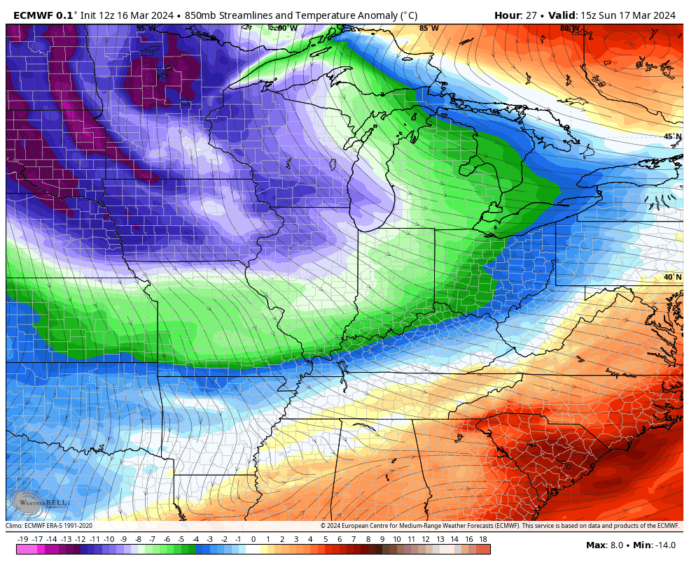
A few snowflakes may accompany this cold shot on Monday with the north and east having the best chance.
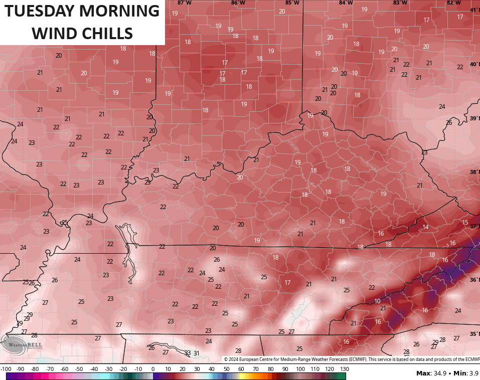
Monday morning starts deep into the 20s with highs only in the upper 30s to low 40s. Gusty winds make it fee much colder, so we will have to find the winter coats again.
Monday night lows flirt with 20 degrees with wind chills in the teens by Tuesday morning…
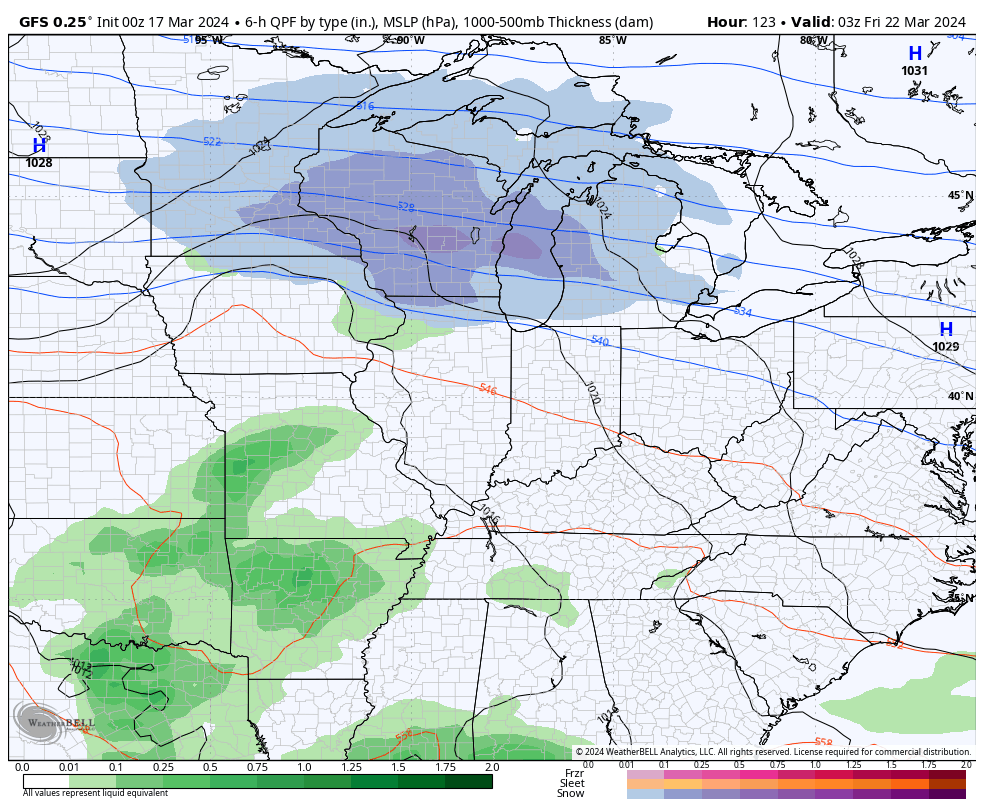
Low pressure looks to bring some rain in here by Thursday night and Friday with a seasonable chill behind that for the weekend. There’s an increasing signal for a potential severe weather event early the following week.
Here’s the GFS with both of the above mentioned systems…
The Canadian is similar…
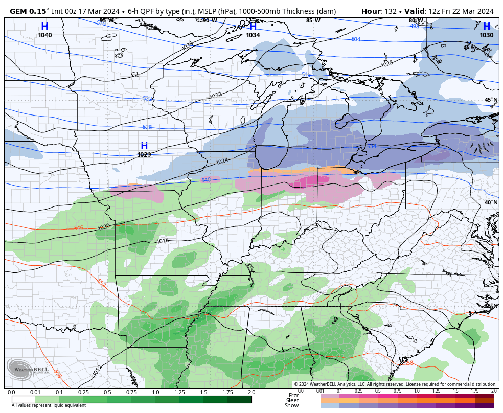
That’s another “clash of the seasons” storm system with well above normal temps in front of it and well below normal temps behind it…
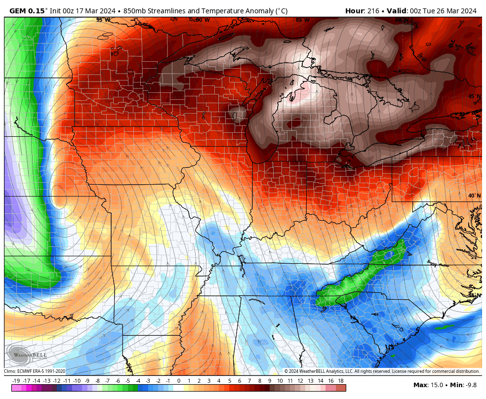
This is a pattern that can continue to get us into trouble, folks.
Enjoy the day and take care.

It looks like the same pattern we have had since the beginning of the year. A few brief cold air shots with no sustaining power.