Good Thursday, everybody. We have a chillier wind blowing across the region today but the sun keeps shining on My Old Kentucky Home. This sun gives way to a few showers moving in for Friday with a bigger system set to arrive early next weke.
Temps today start in the 20s for much of Kentucky. By the afternoon, temps range from the low and mid 40s in the north to low and mid 50s in the south and west. Skies are mostly sunny.
Low pressure skirts by to our south Friday into early Saturday as a cold front drops in from the northwest. This brings scattered showers in here on Friday with a greater concentration of showers showing up Friday evening into Friday night…
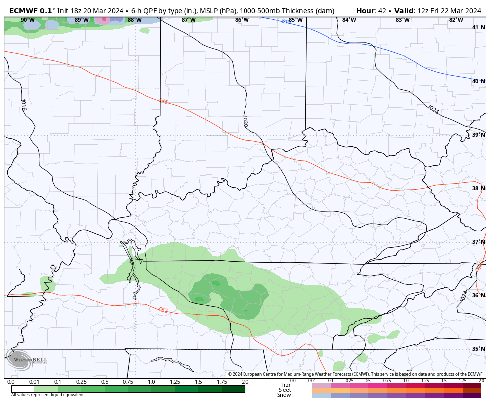
The greatest rainfall numbers show up in the east and southeast. Highs Friday range from the upper 50s under the scattered showers to the mid and upper 60s for areas that may get some sunshine.
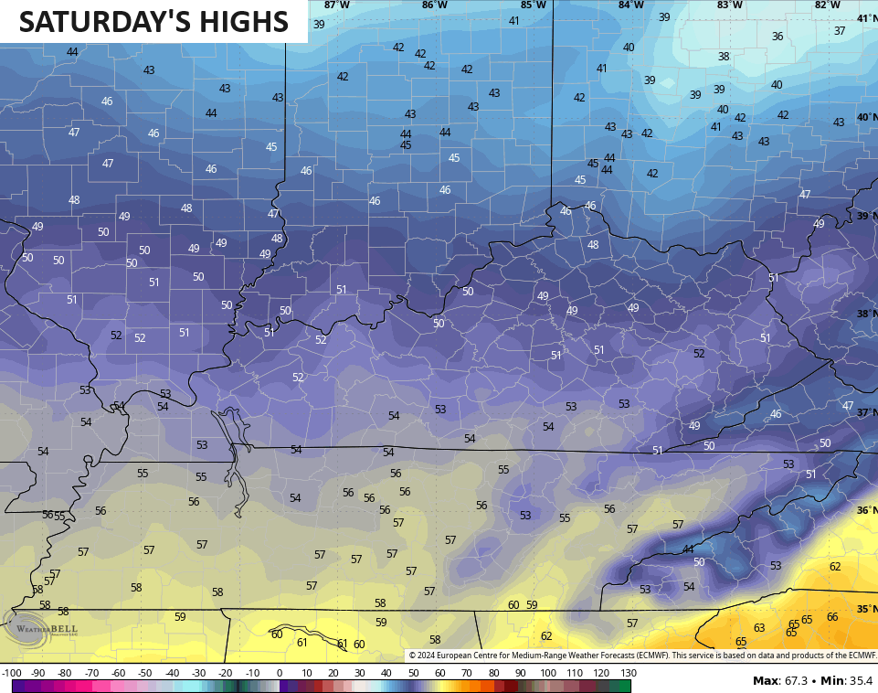
Temps behind this come down for Saturday with mid and upper 40s north and 50s south…
Saturday night is another frigid night with temps reaching the 20s by Sunday morning…

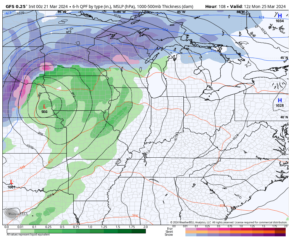
Temps rebound into the 50s to near 60 for Sunday afternoon with 65-70 on the way for Monday. That comes ahead of a potent Plains storm system set to bring showers and storms in here by Tuesday. What follows is a chaotic pattern featuring a few more systems crossing the country through the end of March…
Back and forth we go, folks!
Enjoy the day and take care.

Thanks Chris. I found an alternative to model forecasting. The actual water vapor loop. It clearly shows that we have the northwest flow along with the split flow, and also the subtropical jet stream far to our south across the Gulf of Mexico.
Have a safe and pleasant day !
Here’s the link to the water vapor loop :
https://www.meteo.psu.edu/ewall/SAT_US/animir.html
The combo of overnight lows below 32 and this ever-present breeze/wind is dramatically affecting germinating plants and the bedding stock. We could use several days of decent moisture, but Chris’s forecast doesn’t generate much hope. Maybe reality gets a big win over the models. Growers win and the Cats win!
Over the years I’ve always found that after Easter the weather pattern level off. Then the humidity increases and the growing season begins to start in full swing.
This constant back and forth with the temperatures is really doing a number on my body. Wearing me down immensely.
Same for me. It’s hell getting old.
Troughs digging into the Western/Central US over the next two weeks mean shots of colder air for the Plains, snow north, severe weather and big swings east.
Hope that doesn’t happen Dash, but there is a prediction for an above normal tornadoes season as we enter ENSO / neutral next month.
Thanks, Chris