Good Tuesday, everyone. A significant outbreak of severe thunderstorms and tornadoes takes aim at our region today as a powerful storm system plows through here. This is being fueled by a surge of May air ahead of it and a blast of winter coming in behind it.
Here are your headlines of what you need to know about today:
- A few strong or severe storms may be noted early this morning across the west and north. Much of this may be in weakening mode.
- The atmosphere becomes super unstable through the morning into the afternoon.
- Temps surge deep into the 70s with high dewpoints. It’s going to feel muggy, folks.
- Supercell thunderstorms start to develop by early afternoon in western and central Kentucky.
- These supercell storms increase during the afternoon and evening. Damaging winds, large hail and tornadoes will be possible.
- The potential is there for a few significant tornadoes to develop.
- The prime time is 2pm-11pm for central and eastern Kentucky.
- Locally heavy rains may also cause a few high-water concerns.
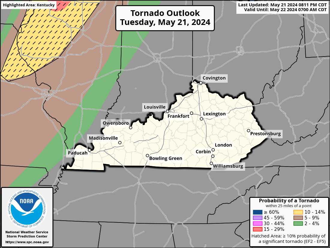
The Storm Prediction Center continues to paint a very ugly picture for our region. Much of the state is in the Enhanced Risk with a Moderate Risk in the north…

The Tornado Threat is also way up there and there’s a hatched area showing the potential for significant tornadoes.
The potential for damaging winds is also very high with the potential for hurricane force gusts…

Large hail is likely to become a big issue as well…

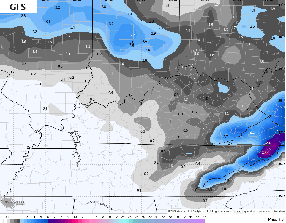
Behind all this comes a serious blast of cold air and the increasing potential for snow showers Wednesday night into the first part of Thursday. It’s even possible to see some snow sticking to roof tops and grassy surfaces during this time.
The models show the potential for some slushy accumulations…

I will try to update things later today. Of course, I will be on WKYT-TV with coverage as needed through the day and evening. I leave you guys with your severe weather tracking tools for the day…

Current watches

Possible Watch Areas

Have a great day and take care.

Nothing in KY currently. That does not bode well in the afternoon.
It has been raining all night in Indiana.
Had tornado warnings out here in far western,ky just before dawn lot of lighting and heavy rain. No reports of damaged as of this writing. Have a great day!!
Picked up 0.25″ of rain in the past hour. Very humid in the BG area, dewpoint is 68°F, so the big concern is whether we get a period sunshine from now until Noon, when the second wave of storms approaches. Kind of freaky realizing that tomorrow is the 50th anniversary of the unforgettable April 1974 outbreak!
Yes, I remember that 1974 outbreak day. It effect through out the Ohio valley.
Anyone had any storms or wind??
I remember the Superoutbreak my friend was going to UK and left got to the Mountain Parkway outside of Winchester a barn was in the middle of the road. When it got to Paintsville I thought is was going to blow the doors in on the fire station. One of the firemans daughters lived in Zena could not get a hold of her. He went to Zena he tolds us about the damage his daughter was ok but the houses on the other side of the street were gone.
We had a tornado warning in Bowling Green around 5:30pm CDT, radar indicated. There at least two more large cells heading towards BG.
1.70 inches of rain have fallen since since 7:00am.