Good Thursday, everybody. Old Man Winter is back in the Bluegrass State as some flakes are flying in many areas. This is part of a cold blast of air going all the way into the deep south. This hangs into the start of the weekend with another strong thunderstorm threat following that up next week.
Snow showers and flurries are out there this morning with some very light accumulations possible in a few spots. By the afternoon, some mixed showers will be possible with temps in the upper 30s to middle 40s. Wind chill numbers are much lower.
Here are your radars to follow along with today’s ugly conditions…

A few rain and snow showers linger into early Friday as a strong northwest wind continues. Highs are back into the 40s once again with the ugly weather lingering into the afternoon and evening.
Saturday finds temps reaching the 50s again with a mix of sun and clouds. The numbers climb toward the upper 50s to middle 60s across the state for Sunday as clouds roll back in ahead of a weak system set to bring some showers. Those showers move in late Sunday and linger into Monday…
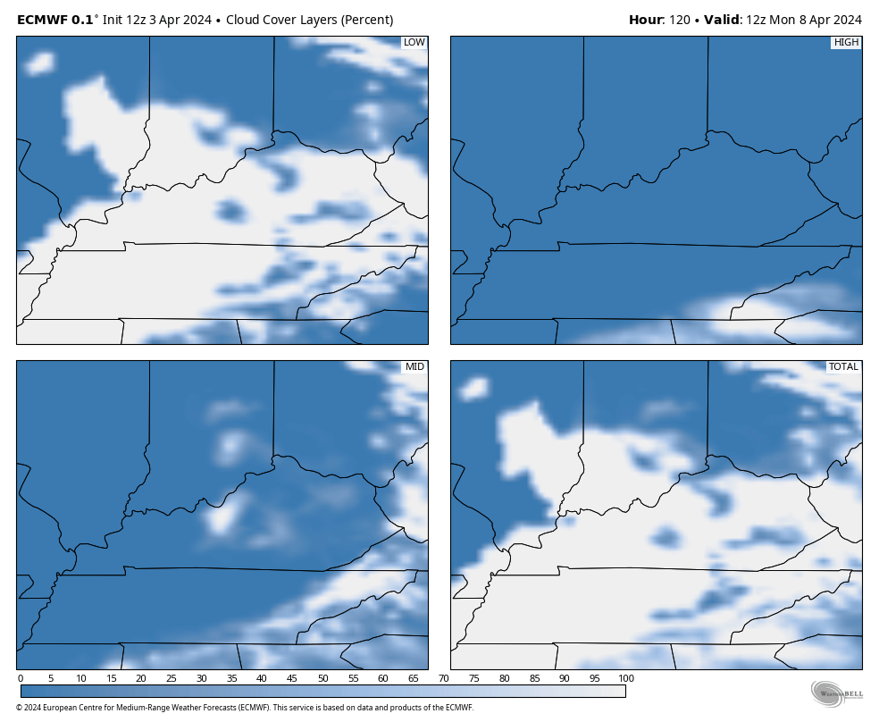
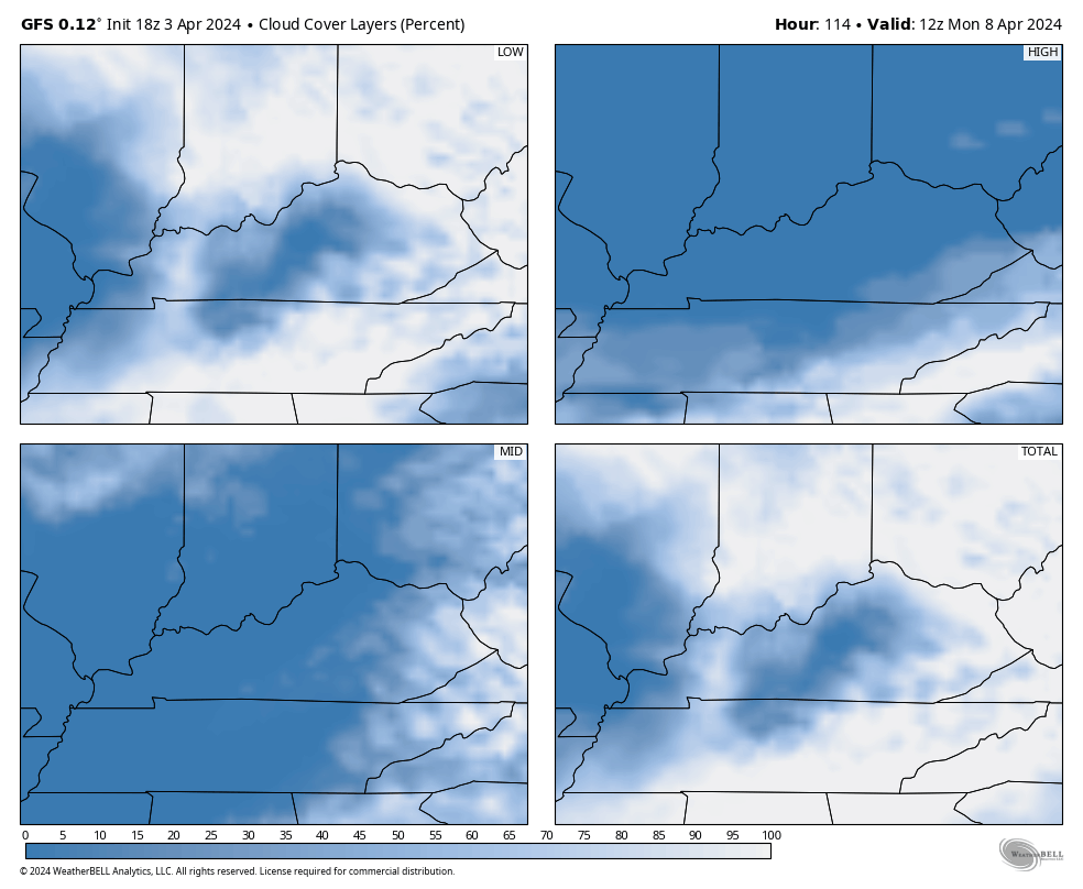
Monday is a BIG day as it’s the solar eclipse! It would really suck if clouds crash our eclipse viewing parties, but that is a possibility.
The EURO and GFS are both showing clouds possibly obstructing our view…
EURO
GFS
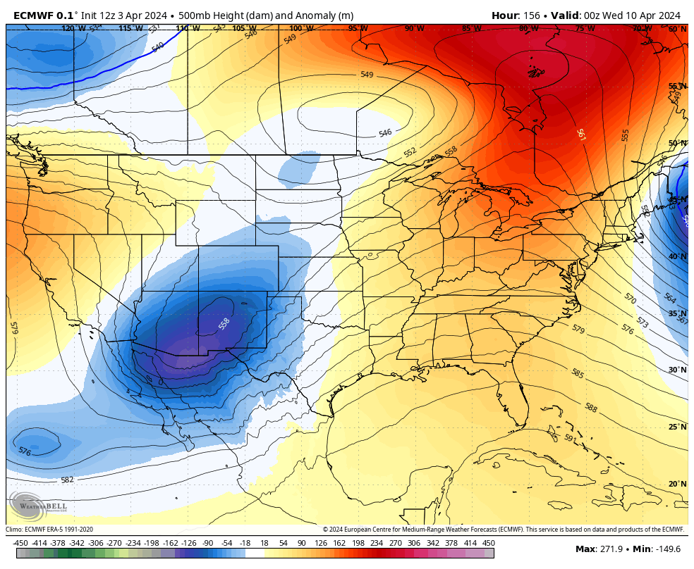
Temps on Monday range from the upper 60s to low 70s then continue to run 70 or better into the middle of the week, at least. The EURO is showing another deep trough sweeping east late next week into the following weekend…
That could spawn another severe weather event ahead of it from Tuesday through Friday…
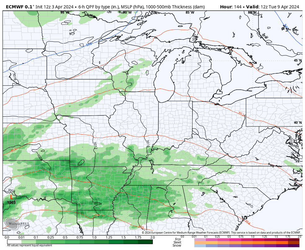
That’s something to watch in what continues to look like a super active severe weather spring around here.
Enjoy the day and take care.

Not long ago, the EURO weeklies were forecasting an above normal temperature April. Yawn.