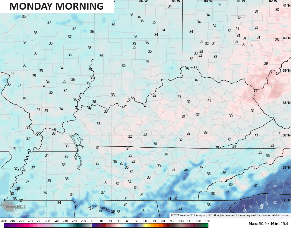
Good Sunday, everyone. Cool winds are blowing across the region and this is setting the stage for frost overnight into Monday morning. Green thumbs are on alert, but KWC regular readers knew this was coming more than a week ago.
Temps today stay in the low and middle 50s for much of the region under a mix of sun and clouds. This is much cooler than normal and sets the stage for widespread frost tonight as temps drop into the low and middle 30s…
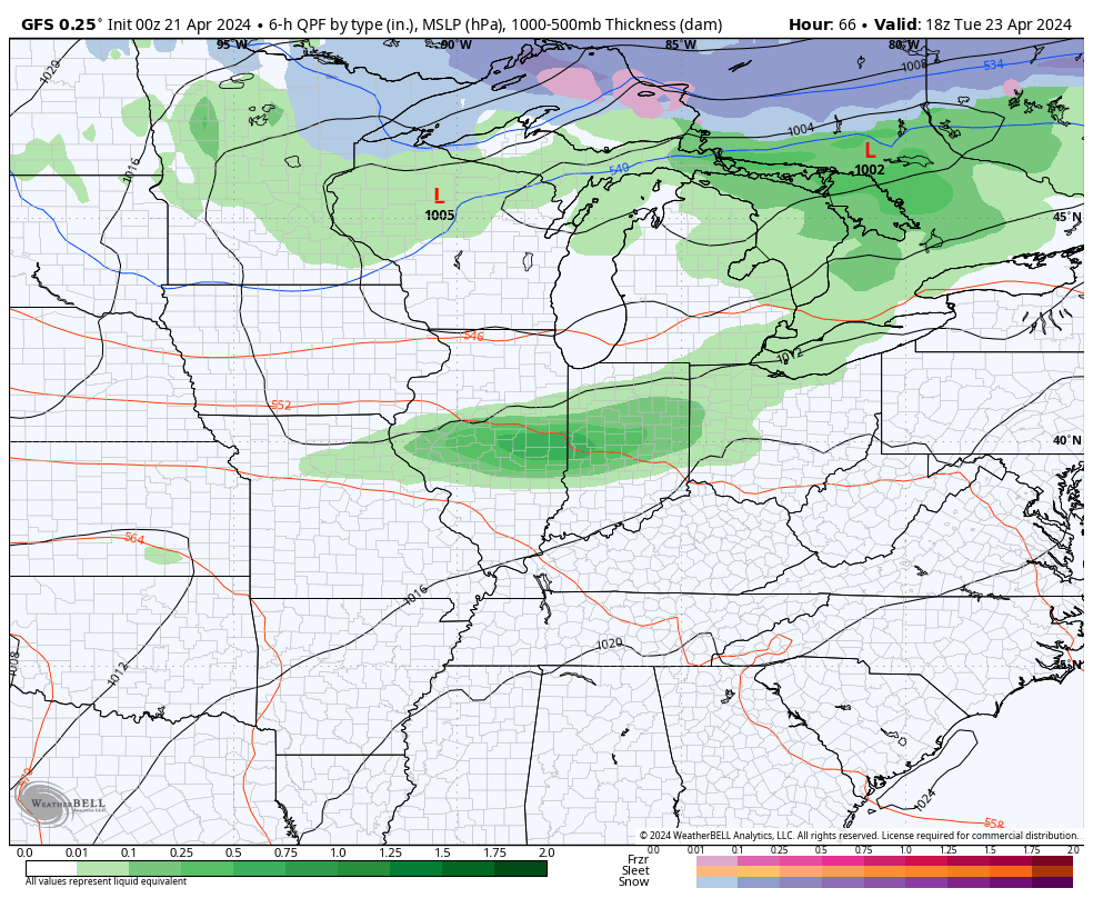
Temps hit the low to mid 60s on Monday and have a shot to reach 70ish Tuesday ahead of another cold front dropping in from the northwest. This arrives Tuesday night and Wednesday morning with a broken line of showers and thunderstorms…
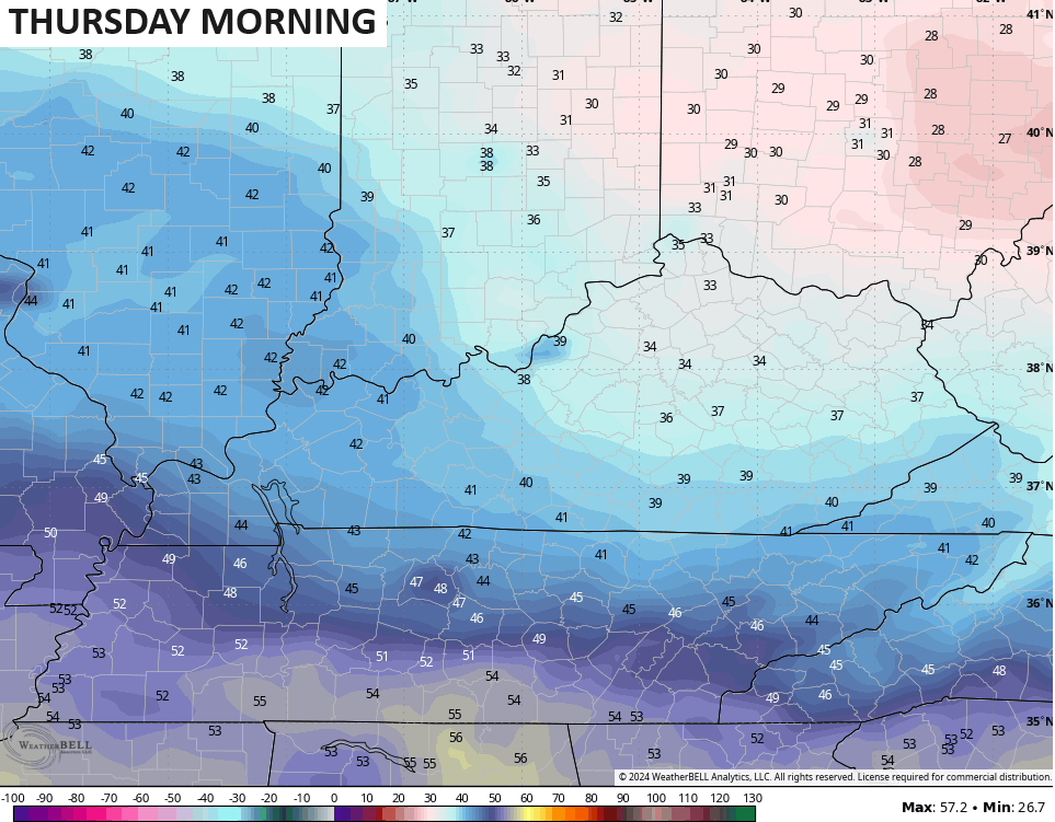
This shot of cold behind it is targeted more to our northeast, but could bring another frost threat to central and eastern Kentucky Thursday morning. That’s when lows may drop back into the 30s…
That lifts out fairly quickly with warm air surging in for next weekend into the closing days of April. This will be accompanied by a few rounds of thunderstorms…
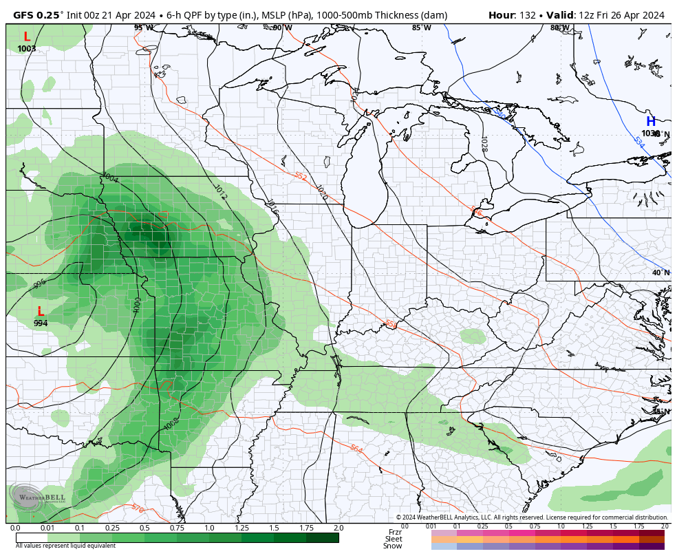
Temps during this time may reach the low and middle 80s. That should get knocked down some by a cold front to end the month and start May and there’s a severe weather signal showing up during this time.
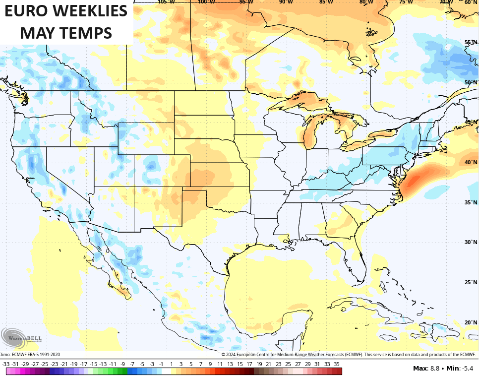
I suspect this May will feature quite a few severe weather signals in our part of the world as some pretty good temps swings appear likely. The EURO Weeklies show May to average slightly cooler than normal as a whole…
Have a sensational Sunday and take care.

The other evening there was no breeze, no wind. Completely still. Felt weird. It capped a beautiful spring day.
I am glad that I left my plants in the pot.
I might put them into the ground around Derby day.
It won’t be too cold tonight, plus the EURO weeklies will be wrong.
Another good reason to leave the plants in the pot. LOL