Good Saturday, everyone. Our final weekend of April is feeling more like the first weekend of June as summer temps surge in. This warm weather hangs around into Kentucky Derby week with thunderstorms joining in on the early May fun.
Temps today range from the upper 70s to low 80s in many areas with a few middle 80s in the west. Skies will feature a mix of sun and clouds with just a slight chance for a shower or thunderstorm going up, especially early today.
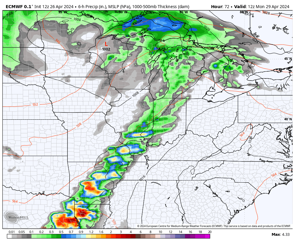
This pales in comparison to the massive severe weather outbreak that continues to our west today and through the next few days.
In addition to tracking any storm threat here in Kentucky, our exclusive interactive radar also allows you to pull up live streams from storm chasers in the Plains and Mississippi Valley, so take it for a spin…

Sunday features low to middle 80s in most of the state with mainly sunny skies. Monday should feature temps in similar fashion before some late day thunderstorms roll in from the west. These will continue into the last day of the month on Tuesday…
The setup from here remains very warm and increasingly unstable as we kick off the month of May. This, obviously, takes us through Kentucky Oaks Day and Kentucky Derby Day with the threat for bigger thunderstorms entering the discussion.
Here’s the EURO showing the increase in storms from late Wednesday through Derby Day…
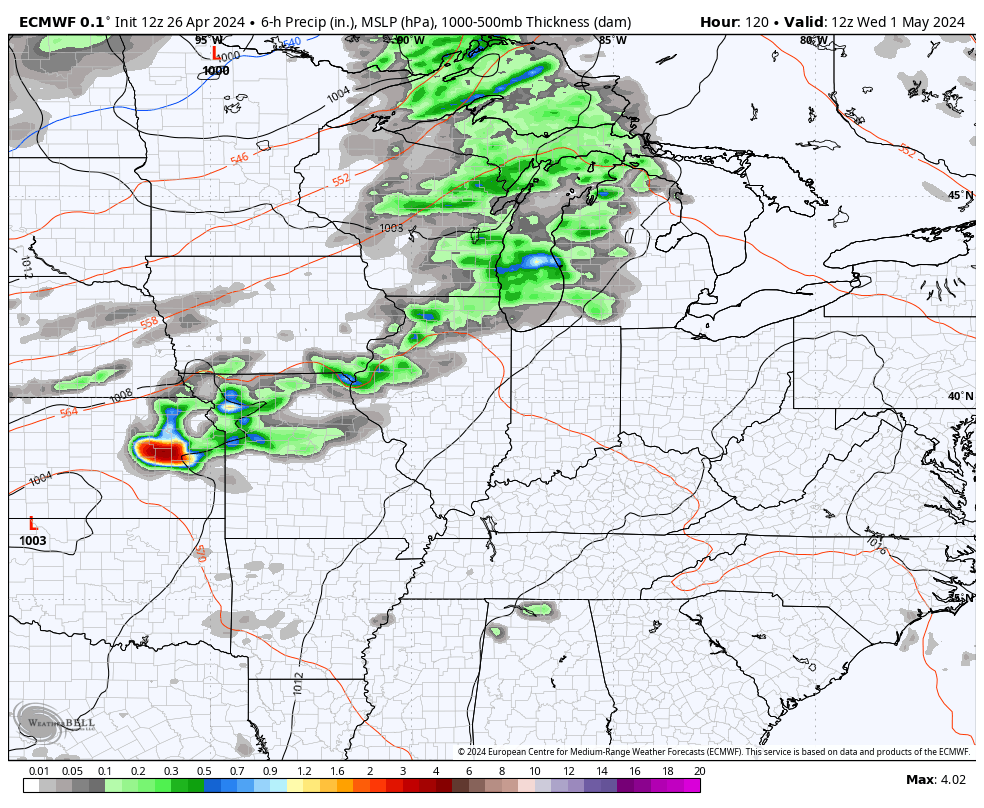
That matches up fairly well with what the GFS and Canadian Models are also showing.
In the longer range, the operational models and the Ensembles are all hinting at the potential for a deep trough to develop across the eastern half of the country during the first full week of May.
You can see that very well on the EURO Ensembles from May 6-11…
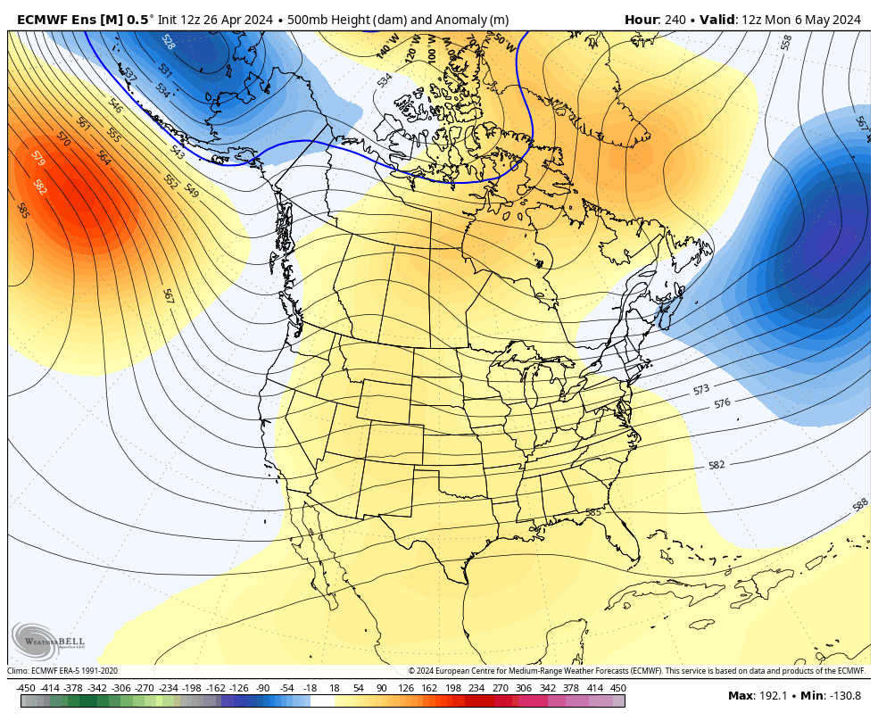
The Control run of the EURO Ensembles is even more pronounced with this setup…

That’s not the best look for true spring lovers.
Make it a great Saturday and take care.

The ensembles lie as usual.
No, they just never pan out.
Never pans out=hyperbole
Even if the ensemble’s are correct the heart or center of the cold air never invades Kentucky.
Please….. no frost.
Thanks Chris. Our best chance of storms and rains here in my neck of the woods is Tuesday. The storm chaser’s map you have is interesting. Enjoy the day everyone !
Pay attention to OK & KS today if you have an interest in tornado activity.