Good Sunday, everyone. A taste of summer kicks into high gear out there today as temps surge to levels more typical of June. This pattern carries us into Kentucky Derby week ahead as thunderstorms start to show up more and more.
Temps today are in the low and middle 80s with a mix of sun and clouds. It’s possible for some upper 80s to show up in a few spots. Y’all ready for fall, yet?
Highs Monday are also deep into the 80s as some thunderstorms increase from the west. These storms become more widespread Monday night into Tuesday as a front washes out on top of us…
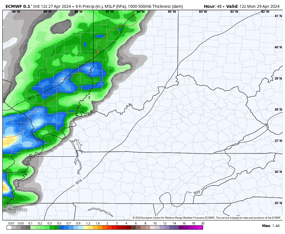
We will need to be on guard for some hefty rain totals in a few spots. Local amounts of 1″-2″ will be possible in some areas.
With the showers and storms around, Tuesday’s temps come way down into the 70s.
Those numbers bounce right back up on Wednesday and Thursday ahead of the next system rolling in for the start of Kentucky Derby Weekend. Highs Thursday have a chance to push 90 in a few spots…

Showers and thunderstorms increase For Kentucky Oaks Friday and continue into, at least, part of Kentucky Derby Saturday…

The exact timing of the cold front will be the determining factor on showers and storms for Derby Day, but the current timing means there’s a chance for some rain.
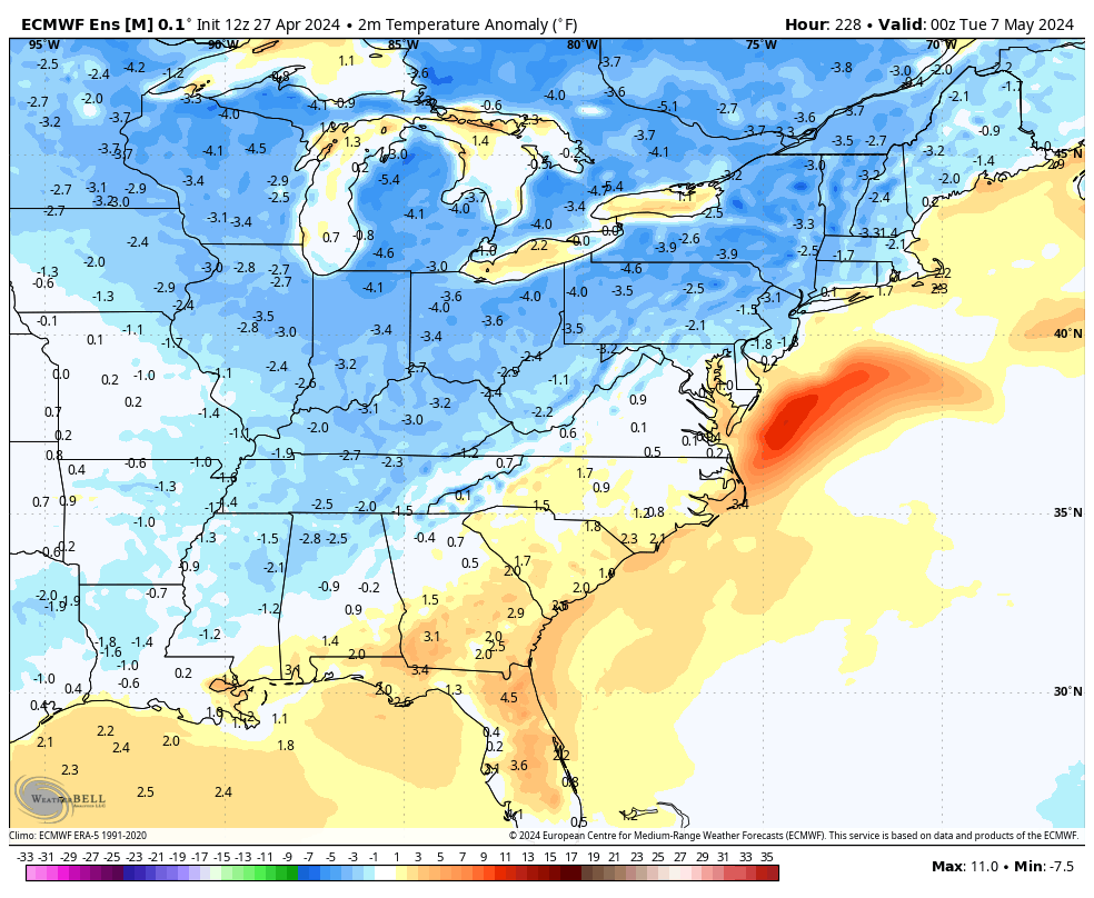
Much cooler air comes in behind that system as we go into the second week of May. Here are the EURO Ensembles showing another run of below normal numbers…
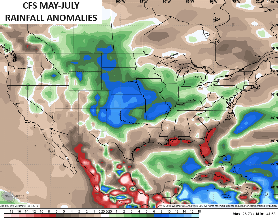
If we look farther down the road, courtesy of the CFS, we find the seasonal model going for a rather tame temperature pattern for much of the country from May through July…

Typically that means a lot of rain and storms showing up to keep temps below normal and, sure enough, that’s what the model is seeing during this same three month stretch…
Have a sensational Sunday and take care.

Thanks Chris. Sounds like after this week of unseasonably warm / hot weather we will be ready for fall. We could use a rainy period as it is getting dry again, but then we need another dry period for the Farmers to get their crops in.
Enjoy your Sunday !
I like a tame summer pattern.
Not sure if it will pan out.
I hope the CFS is lying.