Good Sunday to one and all. As we head into the first full week of May, rounds of thunderstorms will target the Commonwealth and surrounding areas. Some of these storms may very well cause issues.
Let’s begin with the weather out there today and hit the fast forward button for the week ahead.
Our Sunday features a mix of sun and clouds with the muggy feel continuing. This will lead to a few showers and storms going up, but this coverage doesn’t look very widespread.
Rounds of thunderstorms will then target the region from Monday through Thursday, bringing the potential for strong to severe storms and a lot of rain. The simplified version of the week ahead looks like this…
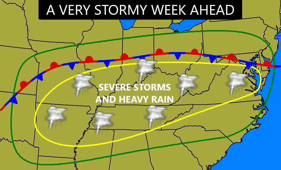
A boundary hangs around the region with a few waves of low pressures rolling along it. Thunderstorms rolling through here will have the potential for damaging winds, large hail and even a few tornadoes.
The Storm Prediction Center is highlighting the severe potential, especially for Tuesday and Wednesday. Here’s the Severe Weather Outlook for Tuesday…

Wednesday and Thursday are beyond the traditional 3 day severe weather outlook, but the Storm Prediction Center still issues a scaled down outlook. This is for Wednesday…

And here’s the outlook for Thursday…

In addition to strong and severe storms, the potential for flash flooding is also there. A general 1″-3″ will be noted across the state during this time, but some areas can pick up 4″+. Those are the areas to watch for, at least, local flash flooding issues.
I leave you with your storm tracking tools for the day…

Make it a great Sunday and take care.

It won’t rain too much nor get cold.
In other words… pure normalcy… no extremes
Exactly.
Thanks Chris. I’m hoping that next week’s weather is more ” bark than bite, ” but I will have a close watch anyway.
Have a peaceful Sunday everone.
No doubt that we’re “ahead” on foliage, blossoms, and turf. This looks like late May. It’s been an explosion of plant activity. Visually stunning.
Yeah, it’s been a beautiful spring so far, but after the 4th of July I’ll be ready for Autumn.