Good Monday, everyone. Rounds of showers and storms are rolling across the region today, kicking off a very active weather pattern. This comes with an increasing threat for severe weather, especially for Tuesday and Wednesday.
All of this is from the pattern we’ve talked about for a while now. A stalled boundary will have waves of low pressure rolling along it, touching off periods of showers and big time boomers…

Showers and storms are out there today and coming at us from the southwest. These can put down locally heavy rains and be noisy from time to time, but the severe threat is very limited. That said, the far western part of Kentucky has a low-end risk for severe storms coming into the picture later this afternoon and evening.
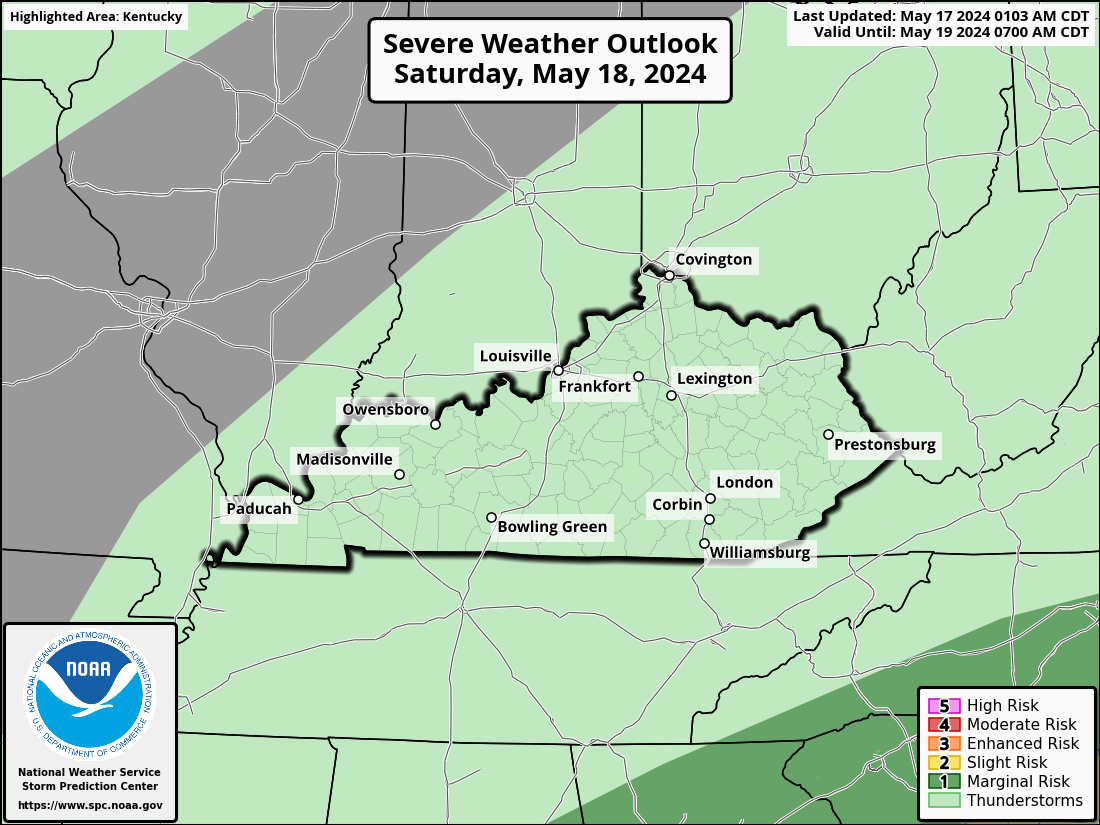
That shows up on today’s Severe Weather Outlook from the Storm Prediction Center…

The severe threat expands farther east to include the entire region on Tuesday…
Damaging wind and large hail are the main players…


There’s also a low-end risk for a few tornadoes…

The setup for Wednesday is much more conducive for all modes of severe storms, including tornadoes. The Storm Prediction Center is likely to increase the threat level as we get closer. Here’s where the Wednesday Severe Weather Outlook stands now…

The prime time for severe weather on Wednesday will be during the afternoon and evening. That may show up after a round of strong to severe storms starts the day.
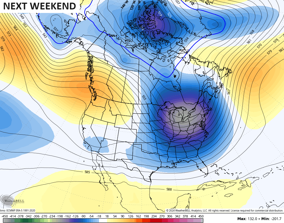
Much colder weather will blow in by the end of the week into Mother’s Day Weekend as a deep trough digs into the eastern half of the country…
That setup can bring some chilly showers in here for the middle of May. Ugh.
I may drop by for another update later today. Until then, I have you all set to track today’s showers and storms rumbling through the region…

Current watches

Possible Watch Areas

Have a great Monday and take care.

Tuesday and Wednesday will feature some wild weather in South Central Kentucky. Right now the models favor damaging winds and large hail as chief threats, and I expect the SPC to upgrade hazards to Enhanced Risk.
Upper 60s this weekend is really not “much colder” at all.
Thanks Chris. Wow ! We haven’t seen a threat like this for quite a while. Hoping there isn’t any tornadoes, especially during the early morning hours. Hope for the best scenario Folks. Looking forward to ” Blackberry Winter. ”
Have a great and safe Monday everyone !
It’s not even going to be cold…..
What really has my attention today is what’s developing over central Oklahoma, which has been defined by the SPC as a rarely seen High Risk for severe storms area, with multiple, long track tornadoes and very large hail. In some ways this has the makings of a severe weather Perfect Storm.
That’s the first time I’ve ever seen an area where it was in a High risk category. I know that area of the country receives tornadoes, but this time it’s a sure thing. I was wondering if the negative PDO, which phased in April to a – 2.00 had anything to do with the sudden outbreak ?
Have had a lot of heavy rain in a break now.