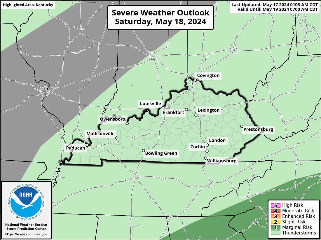
Good Tuesday, everyone. Rounds of strong to severe storms target the region today and this will continue through Wednesday. All modes of severe weather are on the table with the storms impacting our region.
Here’s a breakdown of how things may play out:
- A few strong storms may sweep across the state from late morning into early this afternoon.
- A few more rounds of strong to severe storms will then develop and roll across Kentucky this evening through the wee hours of Wednesday.
- Damaging winds and large hail are the main players, but there’s enough shear for a few tornadoes to spin up.
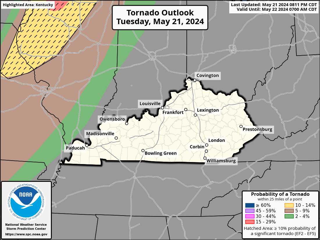
- Today’s greatest tornado risk is across central and northern Kentucky.
- Outside of storms, temps today reach the low 80s with a fairly muggy feel.
- That very warm and muggy feel takes us into much of the day Wednesday with low to middle 80s.
- The greatest severe weather threat arrives late Wednesday into Wednesday night as storms develop and roll from west to east and northwest to southeast.
- Storms will have a greater chance to spin, resulting in an increased tornado risk during this time. Significant wind damage and large hail will also be possible.
- With ample moisture available, storms can put down a tremendous amount of rain over the next few days. Watch for flash flooding, folks!
The Storm Prediction Center is blanketing the entire region with the threat for severe weather out there today…

The highest tornado risk is across central and northern parts of the state, but there is still a pronounced risk for all of Kentucky…
Damaging winds and large hail are the primary players….


The Storm Prediction Center then expands and upgrades the severe weather risk for Wednesday…
Damaging wind and large hail are the main players once again…

But the tornado threat increases compared to today…

Leftover showers and storms will be noted on Thursday before a cold front moves in. This front brings much cooler air in here for the weekend with highs in the 60s. There’s also the chance for a sneaky band of strong storms with a reinforcing shot of cool arriving with a cold front late Saturday.
As always, I have your storm tracking tools for the day…

Current watches

Possible Watch Areas

Have a great Tuesday and take care.

Any cool spells now are no big deal.
it looks like a lot of the energy is going to be concentrated over our region… UGH…
I think each upcoming severe weather even makes me more nervous than the last one just because of the insanity the world is in… I feel like anything can happen that might not have happened before… does that make sense?
I understand. I feel alot of people’s anxiety pertaining to severe weather is due to the irresponsible people on social media who have monetized themselves on feeding people alot of fear. The great thing about the advice on how to best be prepared for severe weather (tornadoes) is the same regardless of if its an EF0 or and EF5. Even during a widespread tornado outbreak, the chances of your home being hit are small. As long as you have a plan of action, then my advice is to not sweat the things you can’t do anything about. That’s not to say don’t respect the situation, but just don’t allow yourself to become absorbed by it.
Agree. We keep an eye on our back-fence neighbors during wind events. They have a huge, multi-trunked elm with a dead and hollow center which looms over their house. We’re ready to launch rescue efforts because it’s not an “if” question, but “when.” The bids for removal are understandably high, so they’ve been trodding the path of procrastination.
Yes because that’s the case as of late Mark so I know exactly what you mean.
I am looking at the future radar. It is showing some storms during the day but the main action is tonight.
Thanks Chris. Looks Ulgy, but all we can do is stay alert and pay attention to all weather watches and warnings. I have a bad feeling about this one.
Be SAFE everyone !!!
I know it seems like the storms just get worse expect the unexpected I guess and stay weather aware and I guess we should have a plan like Virgil says.
A Tornado Watch is in effect for most of N and NE IL, including the Chicago Metro Area, until 8 PM local time this evening, with severe t-storms currently moving through Cook County and Chicago.
Here in the SW Suburbs, we just missed the storms.
The SPC upgraded the severe weather risk for NE IL from marginal to slight, with most of Indiana in the Enhanced Risk area.
Stay safe Mike